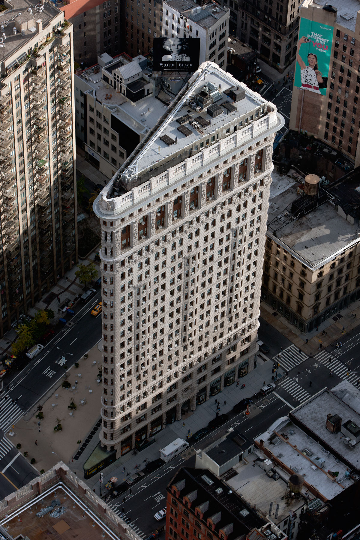
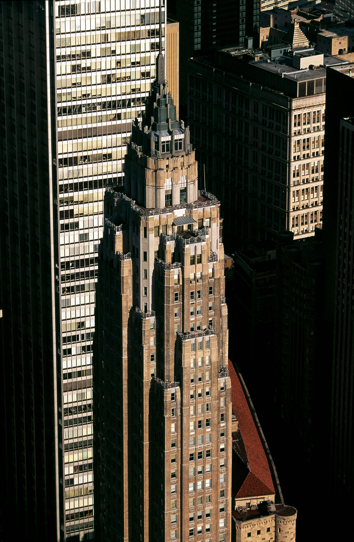
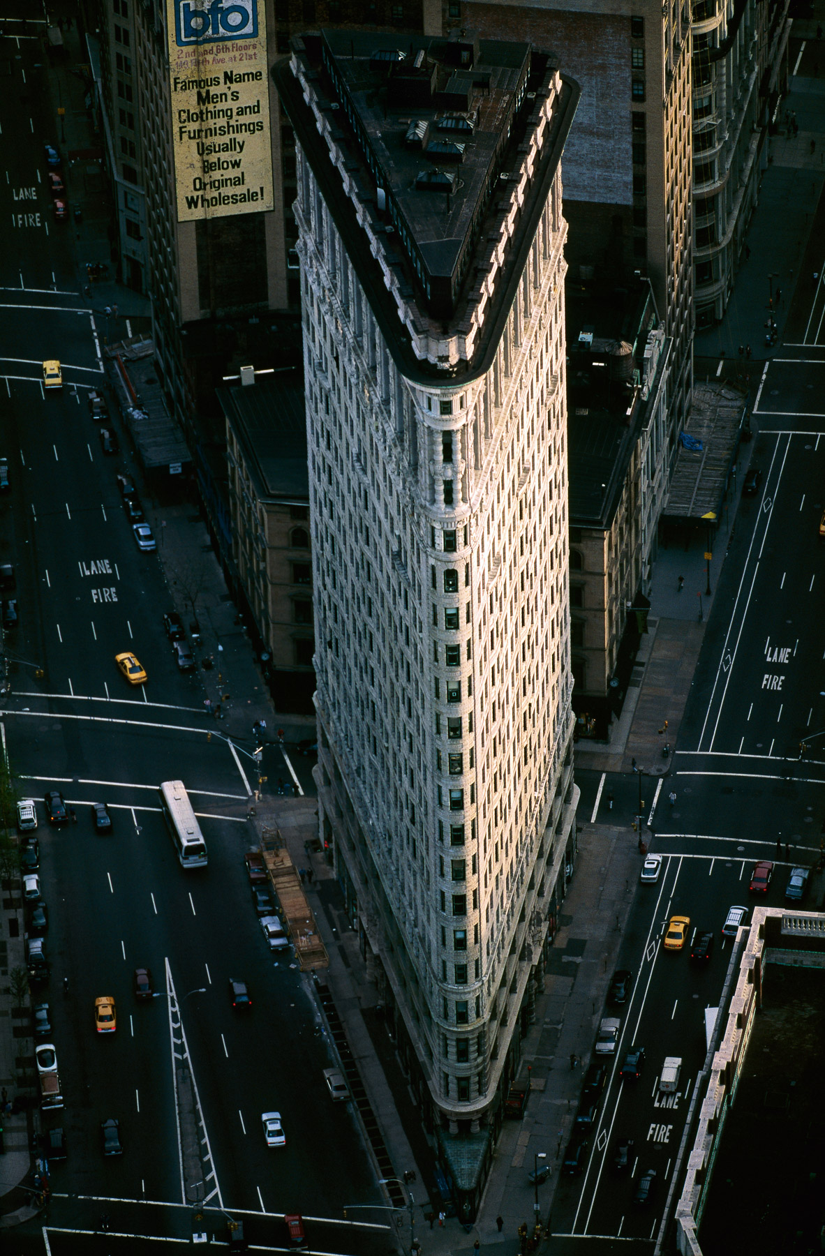
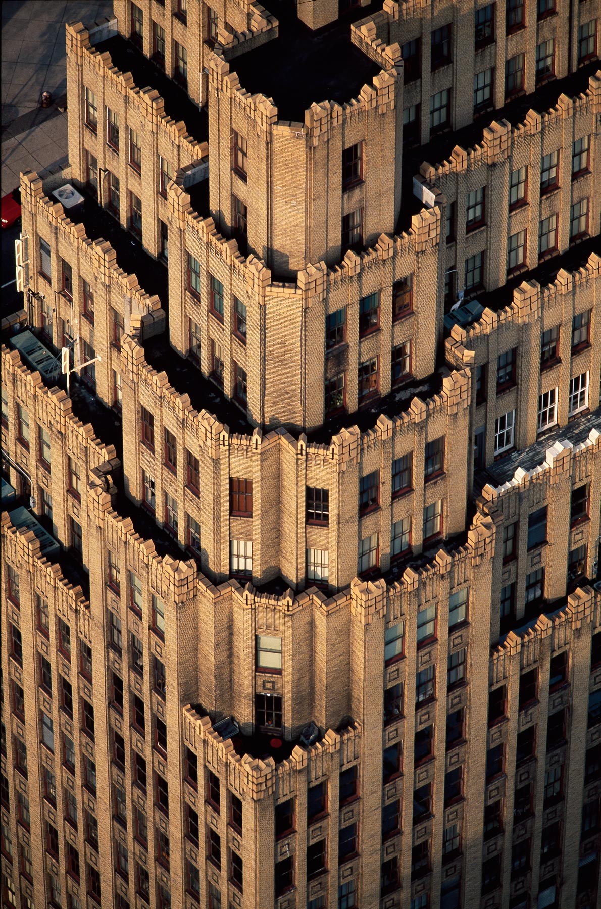
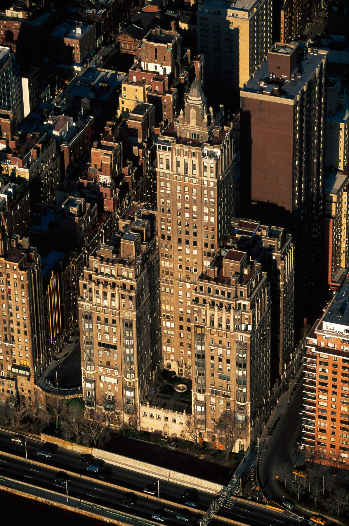
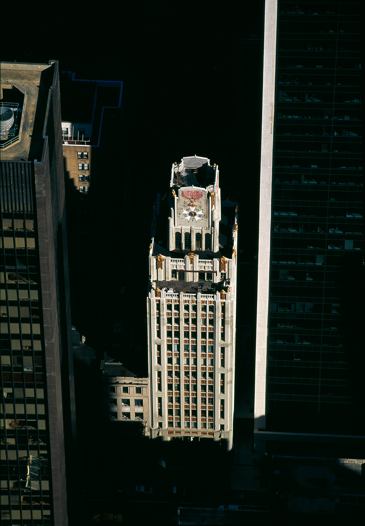
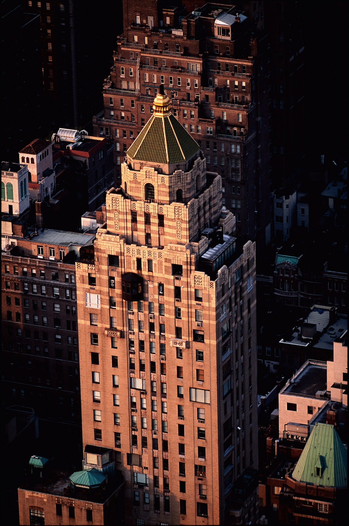
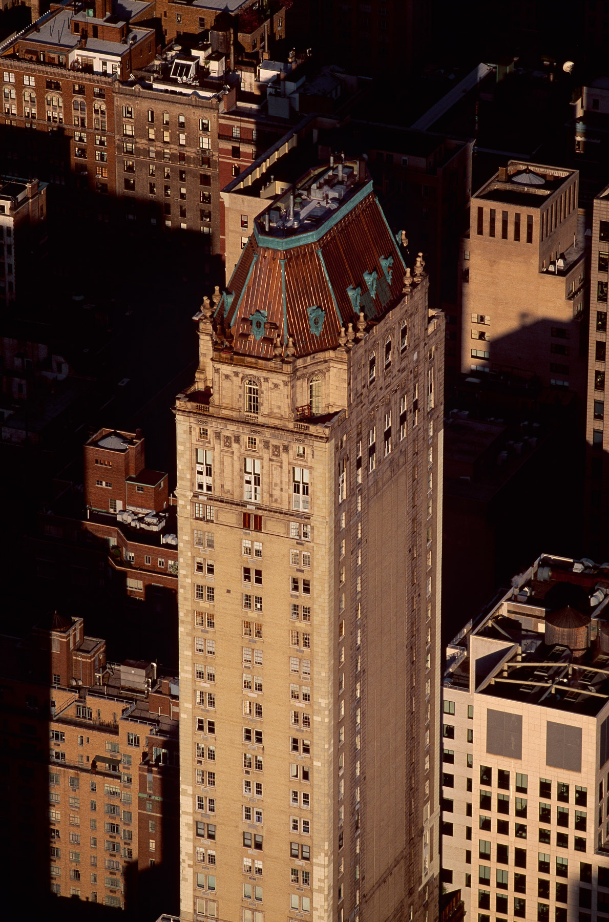
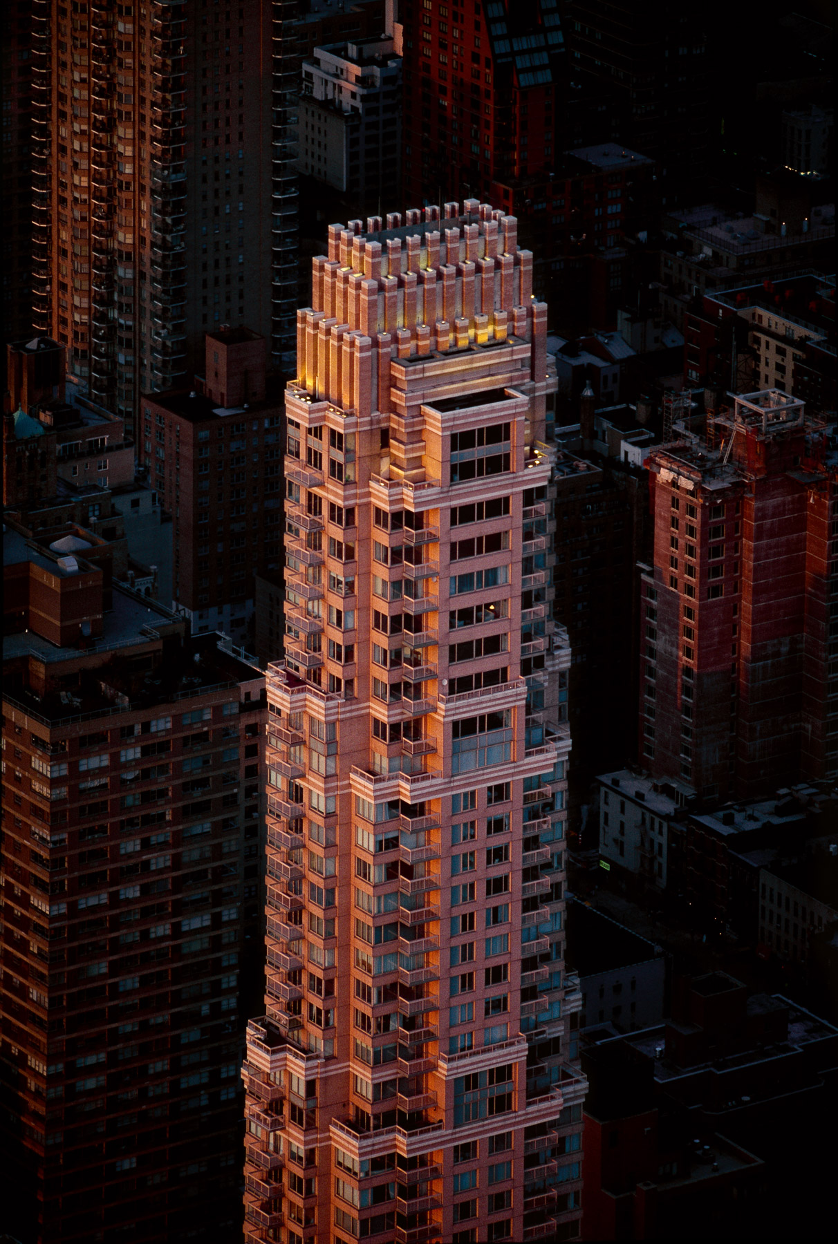
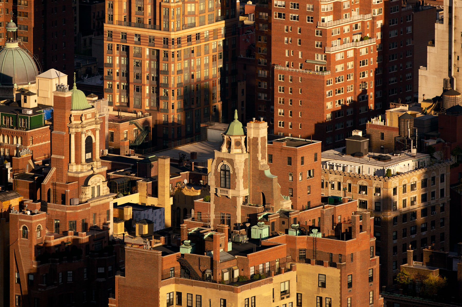
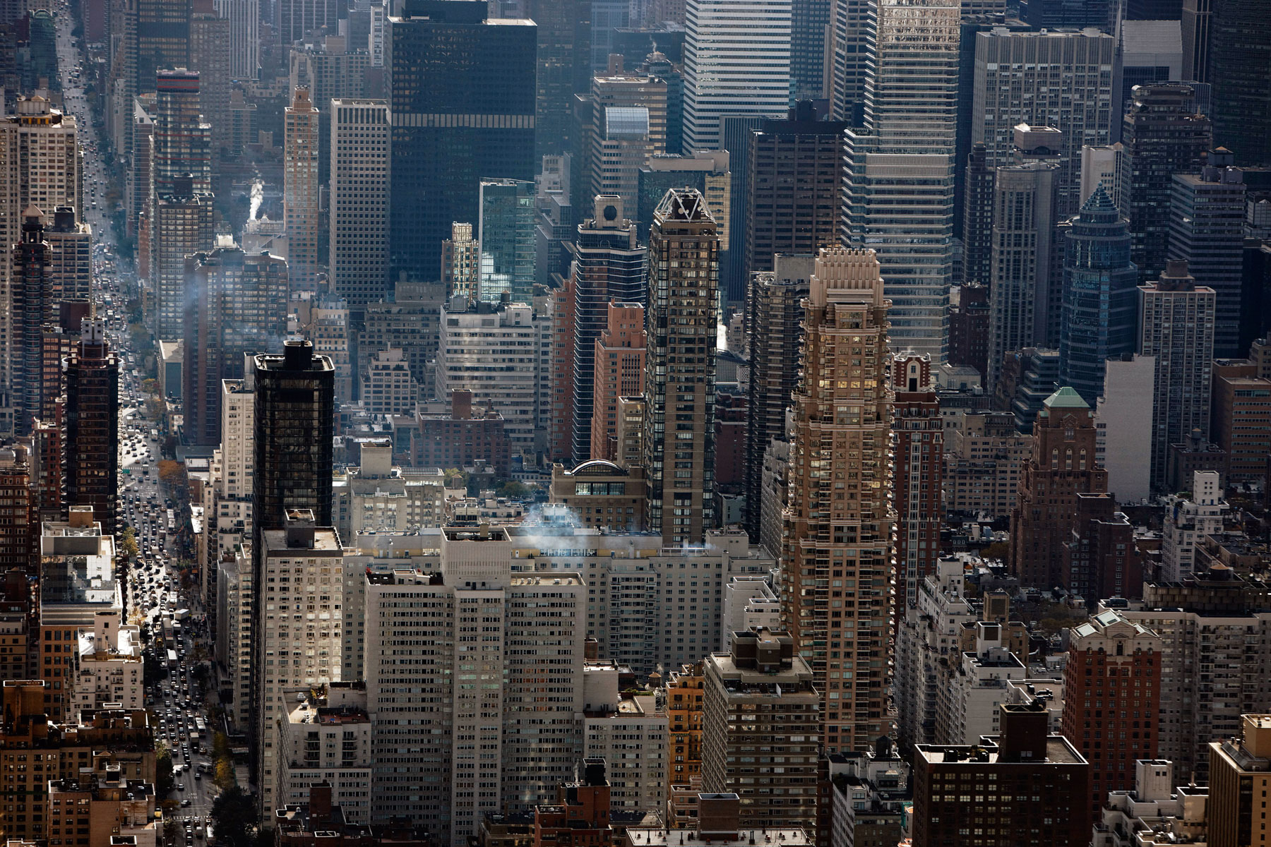
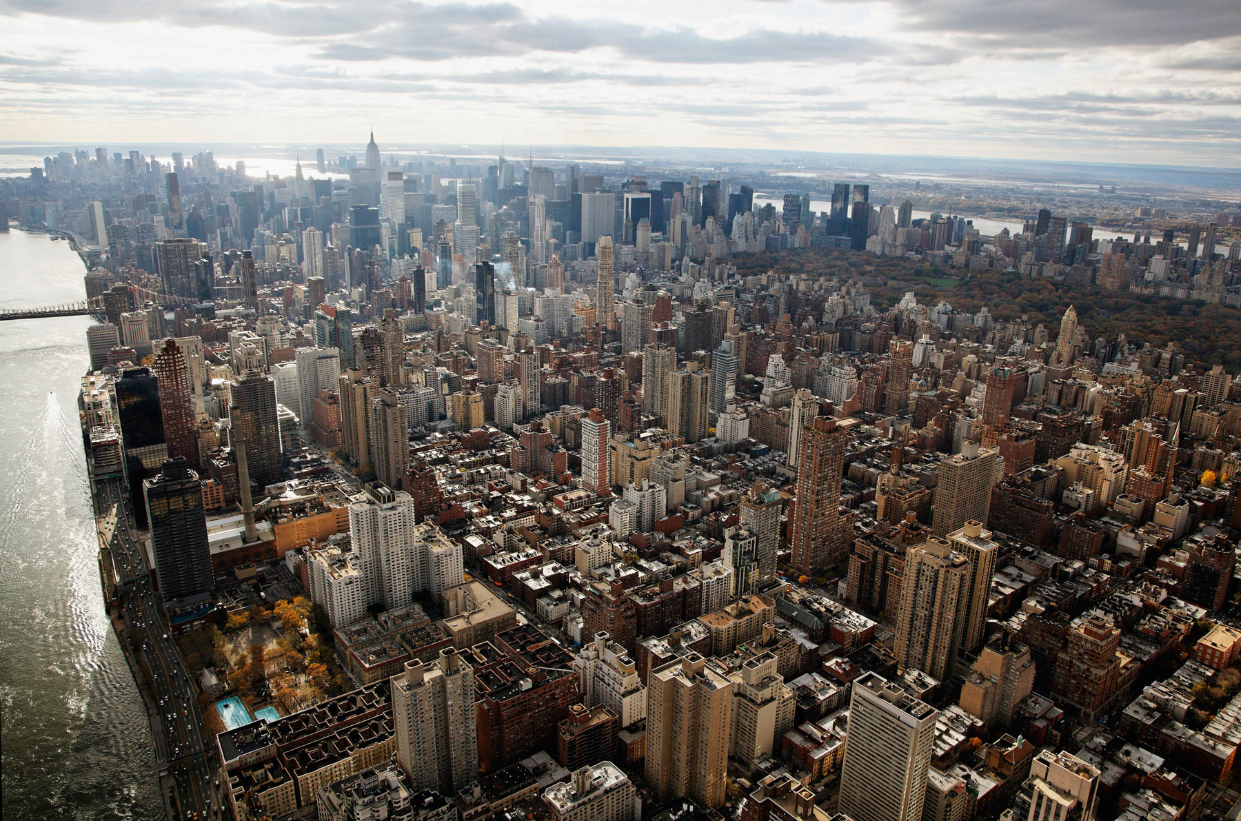
Flatiron Building former Fuller Building by Daniel Burnham, Midtown, Manhattan, New york (40°44′28″N, 73°59′23″W).
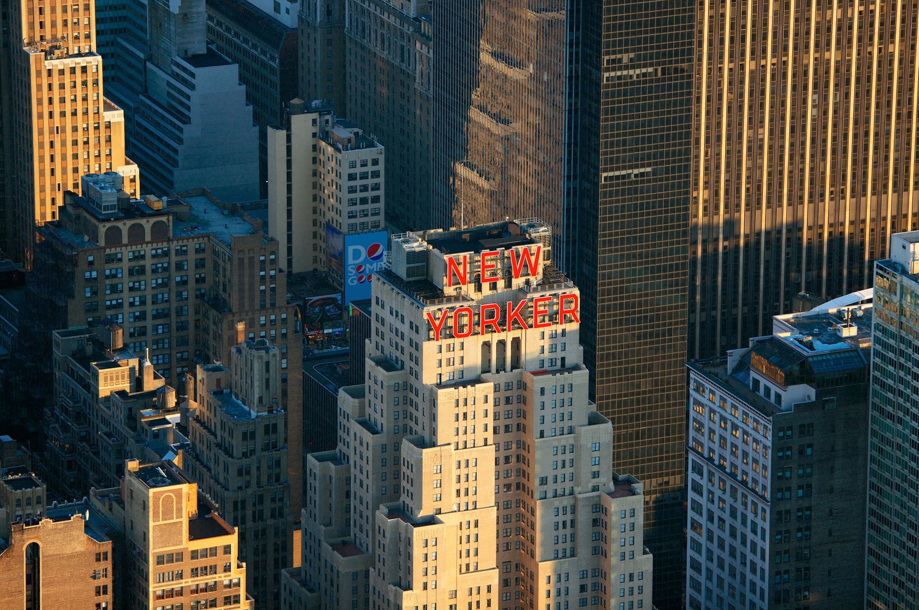
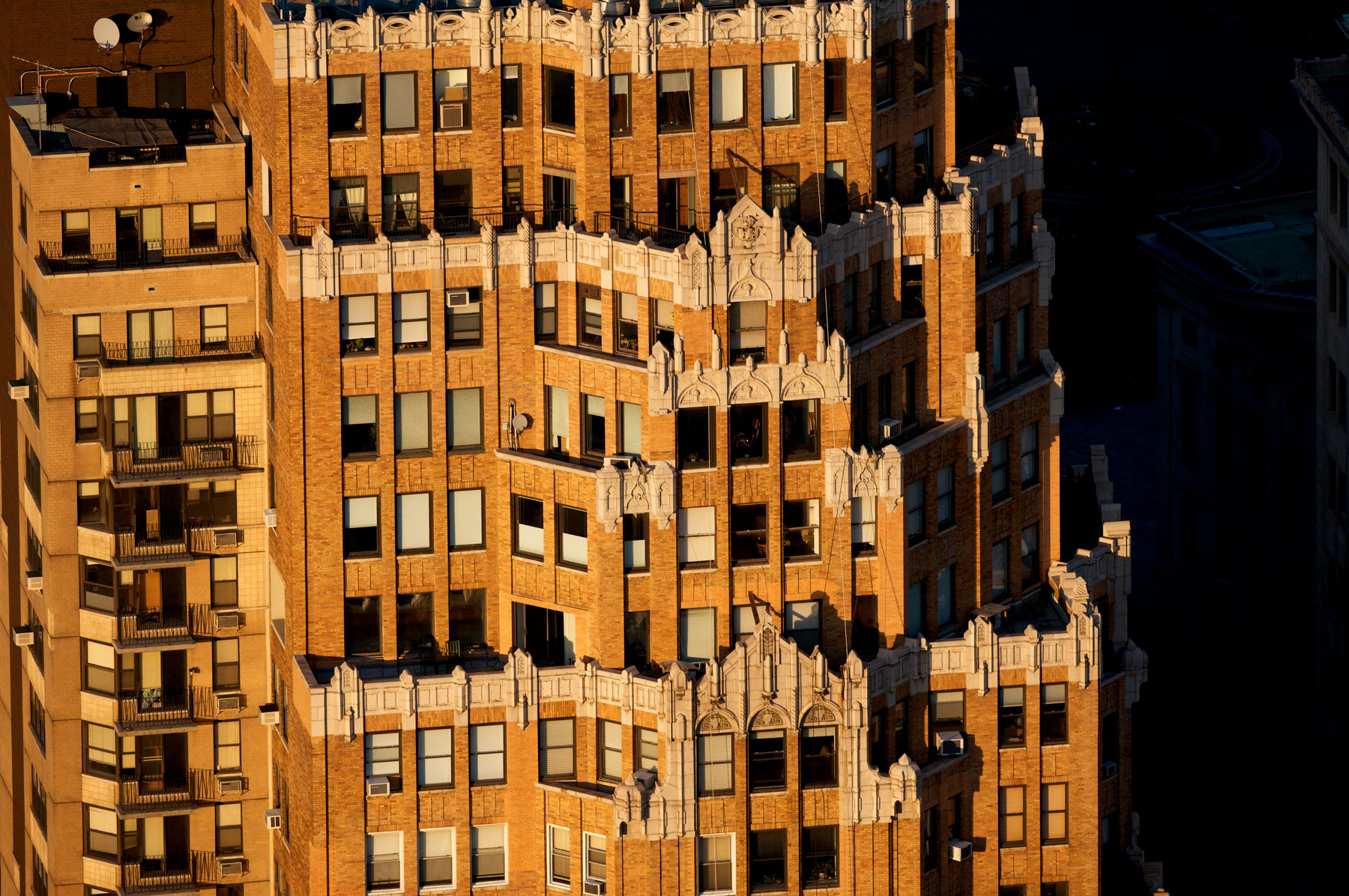
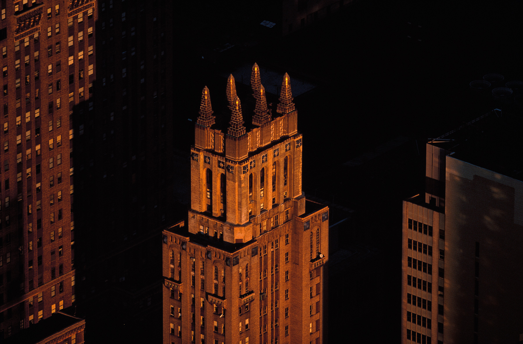
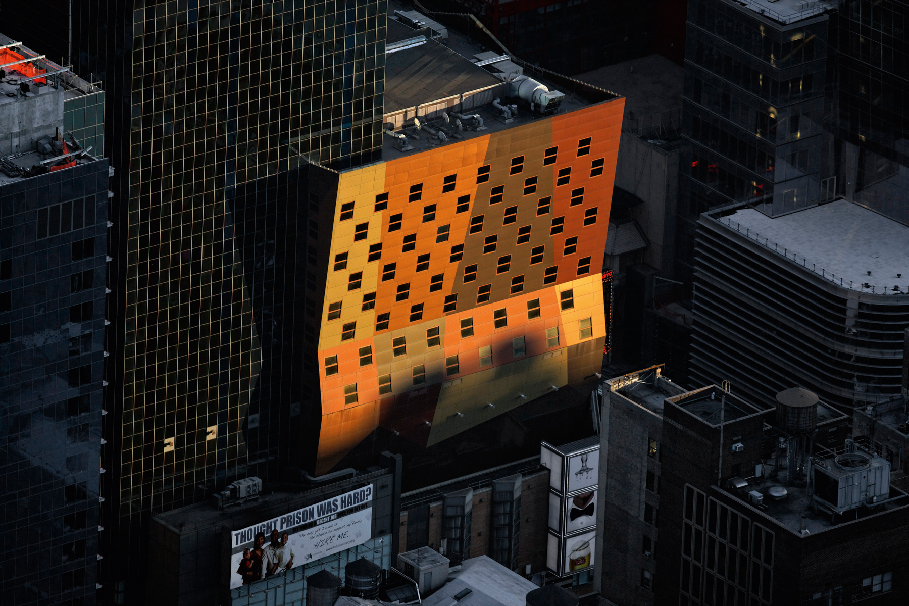
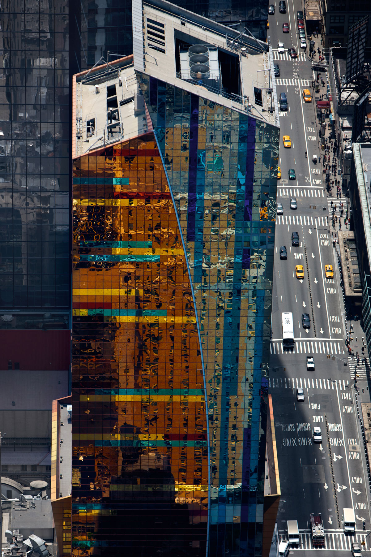
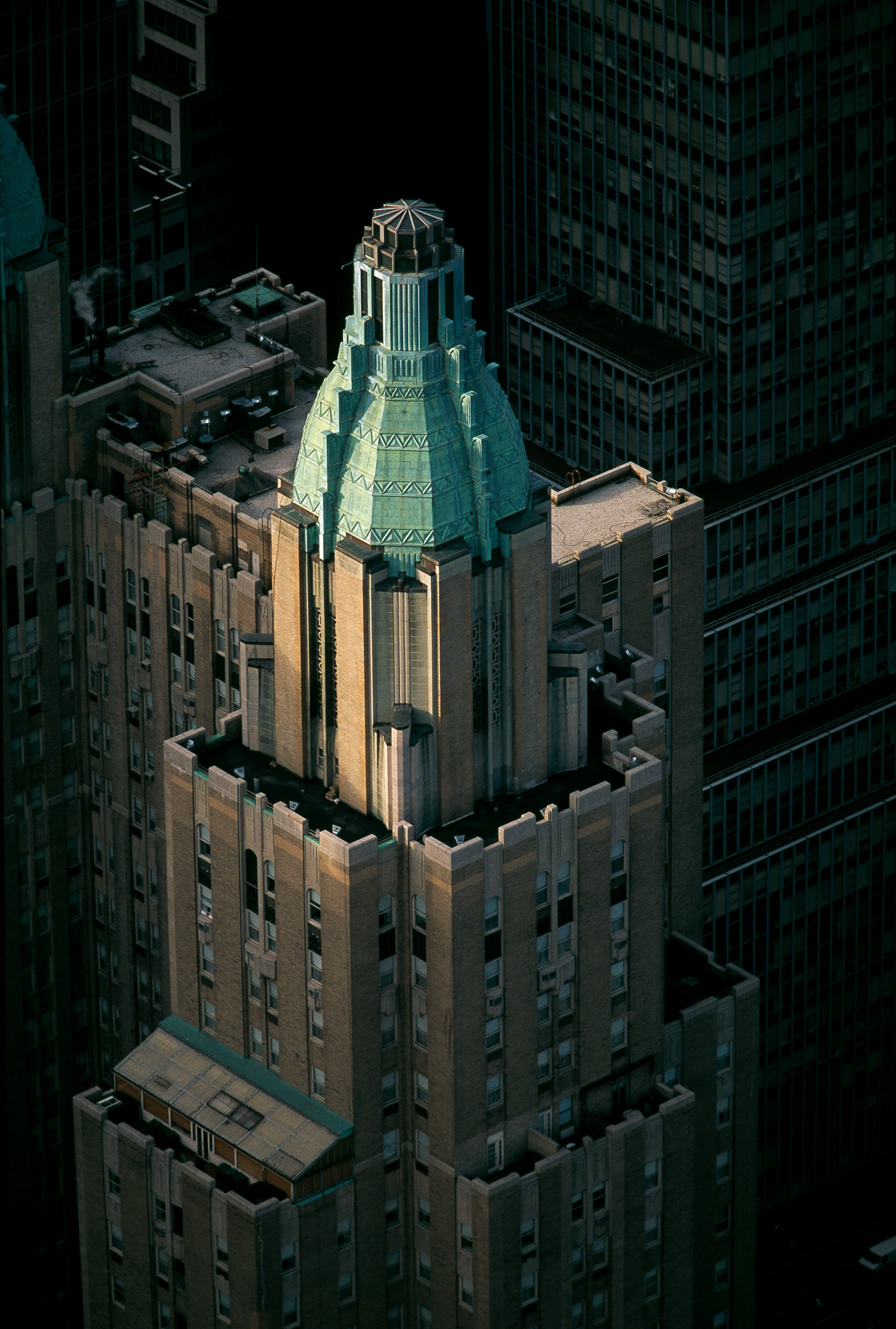
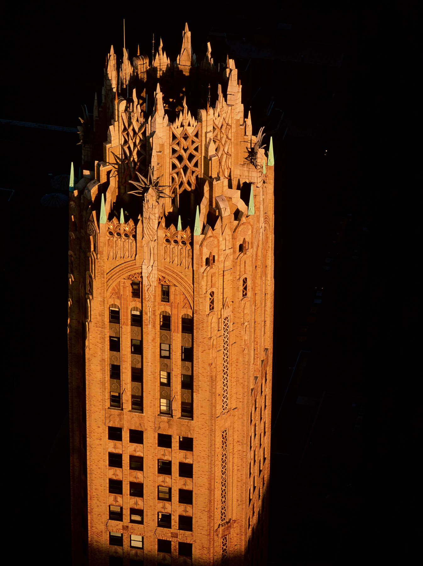
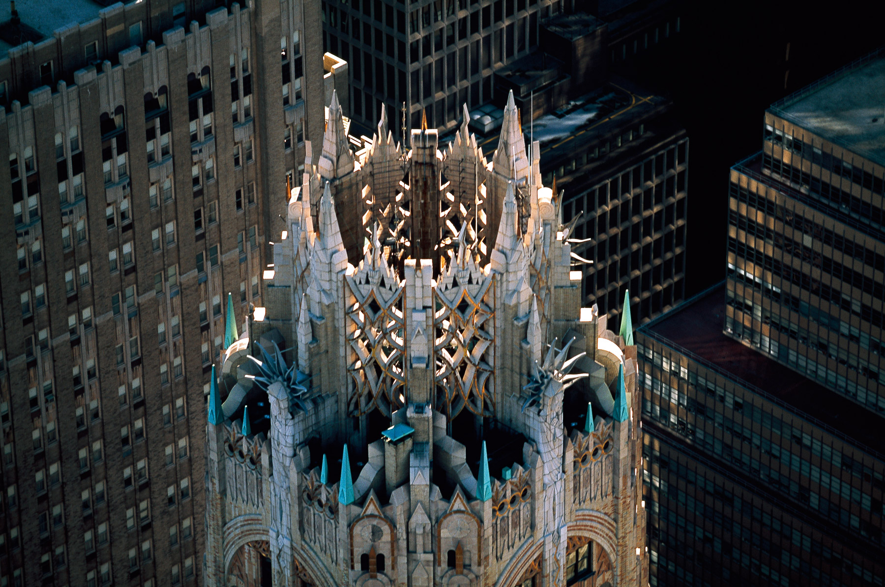
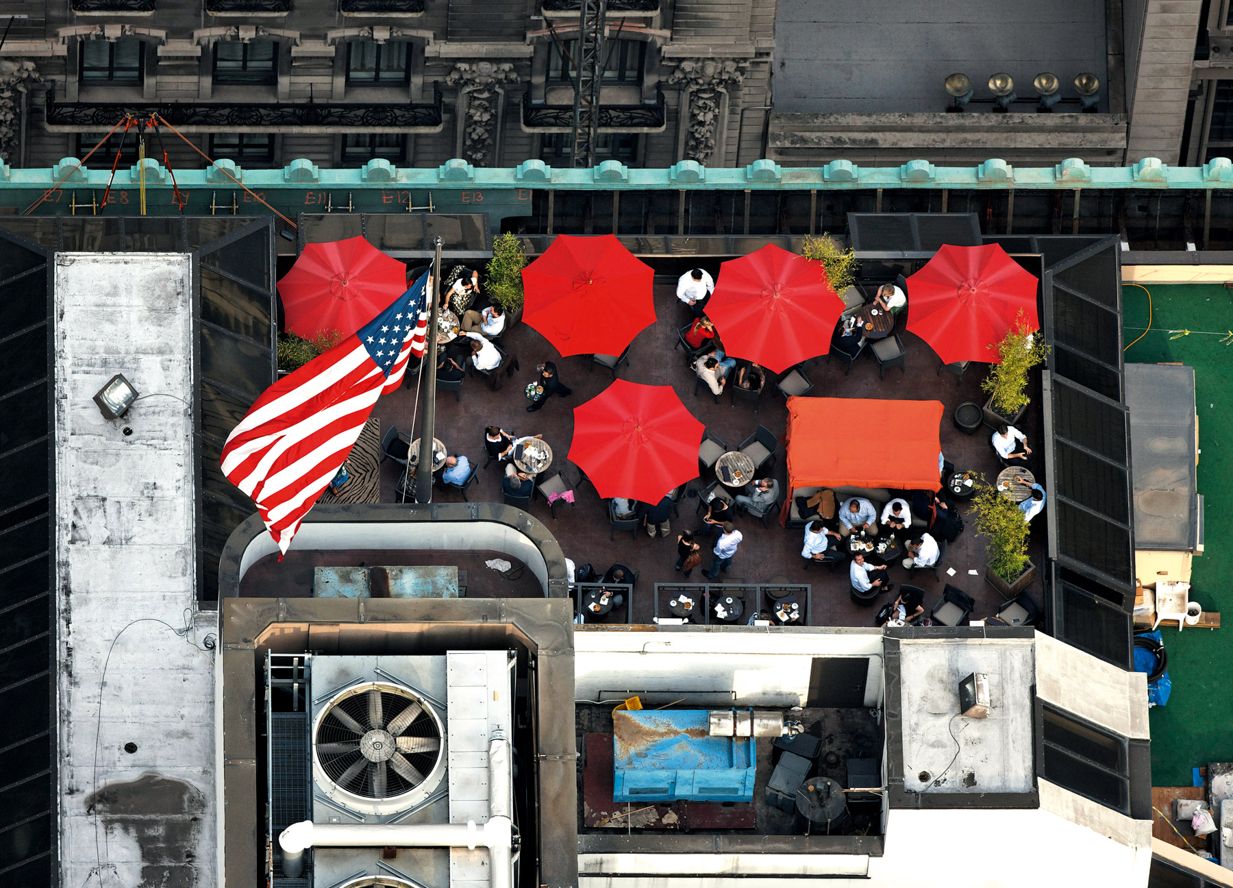
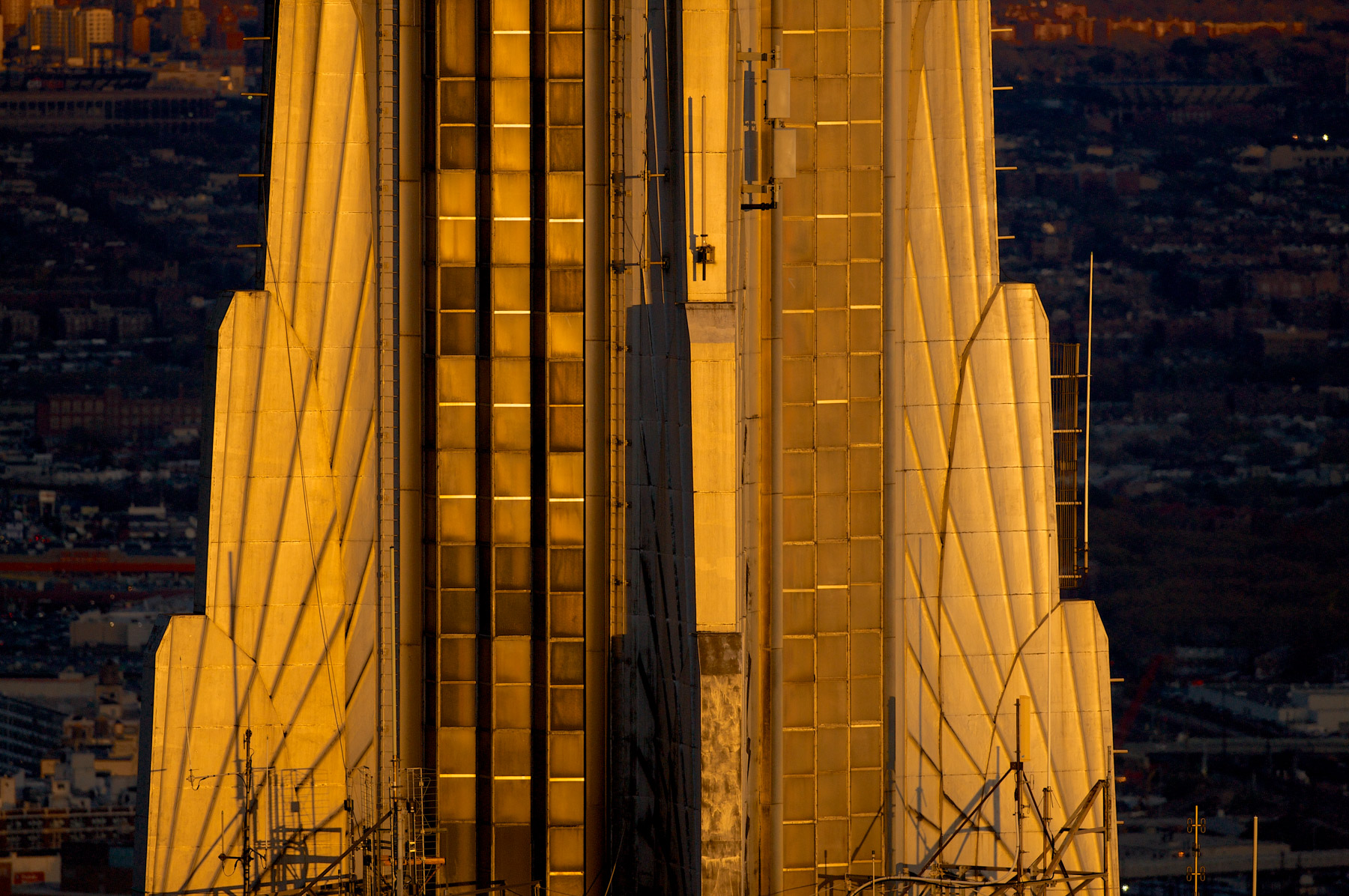
Wyndham New Yorker Hotel, Garment District, Manhattan, New York (40°45′10″N, 73°59′38″W).
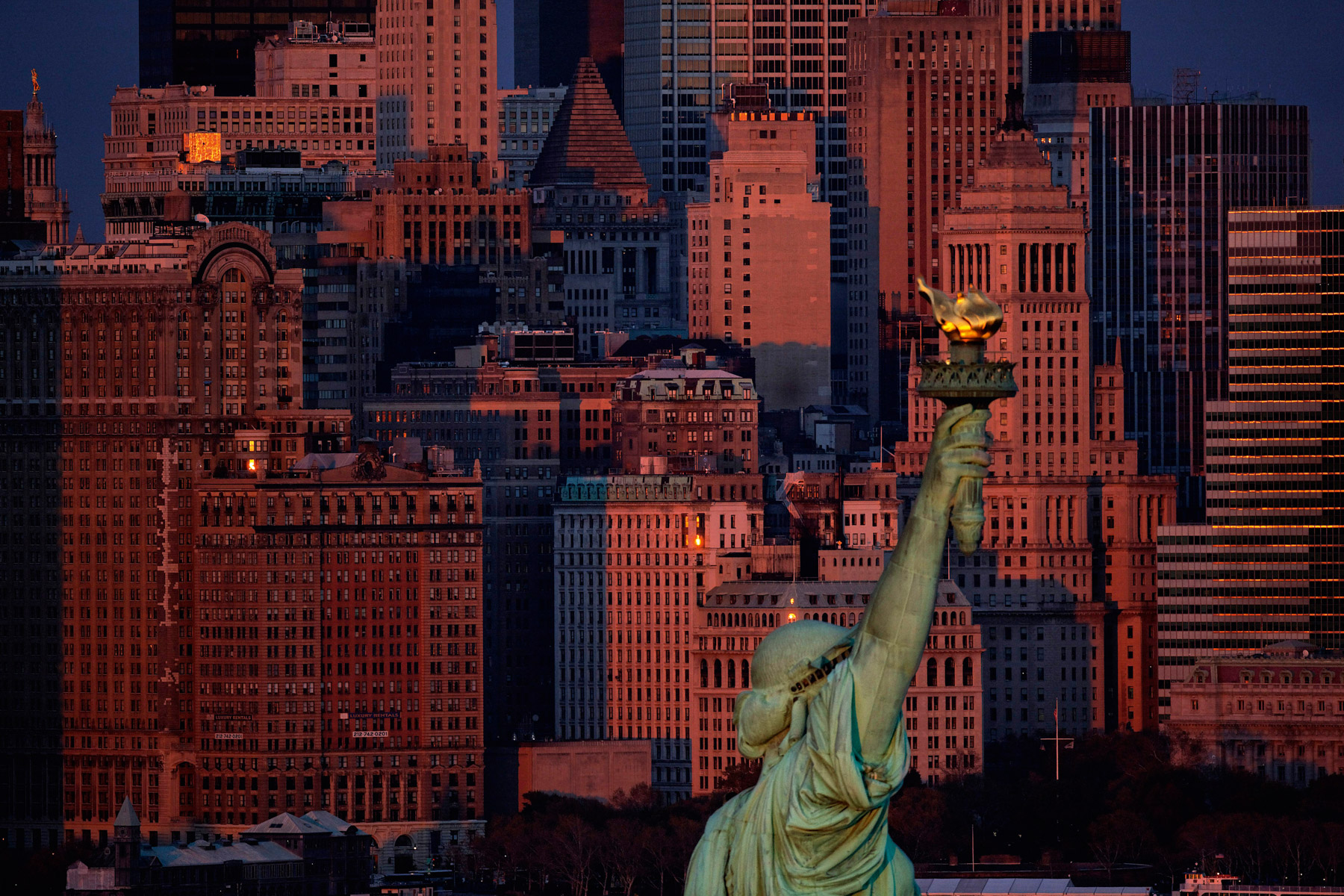
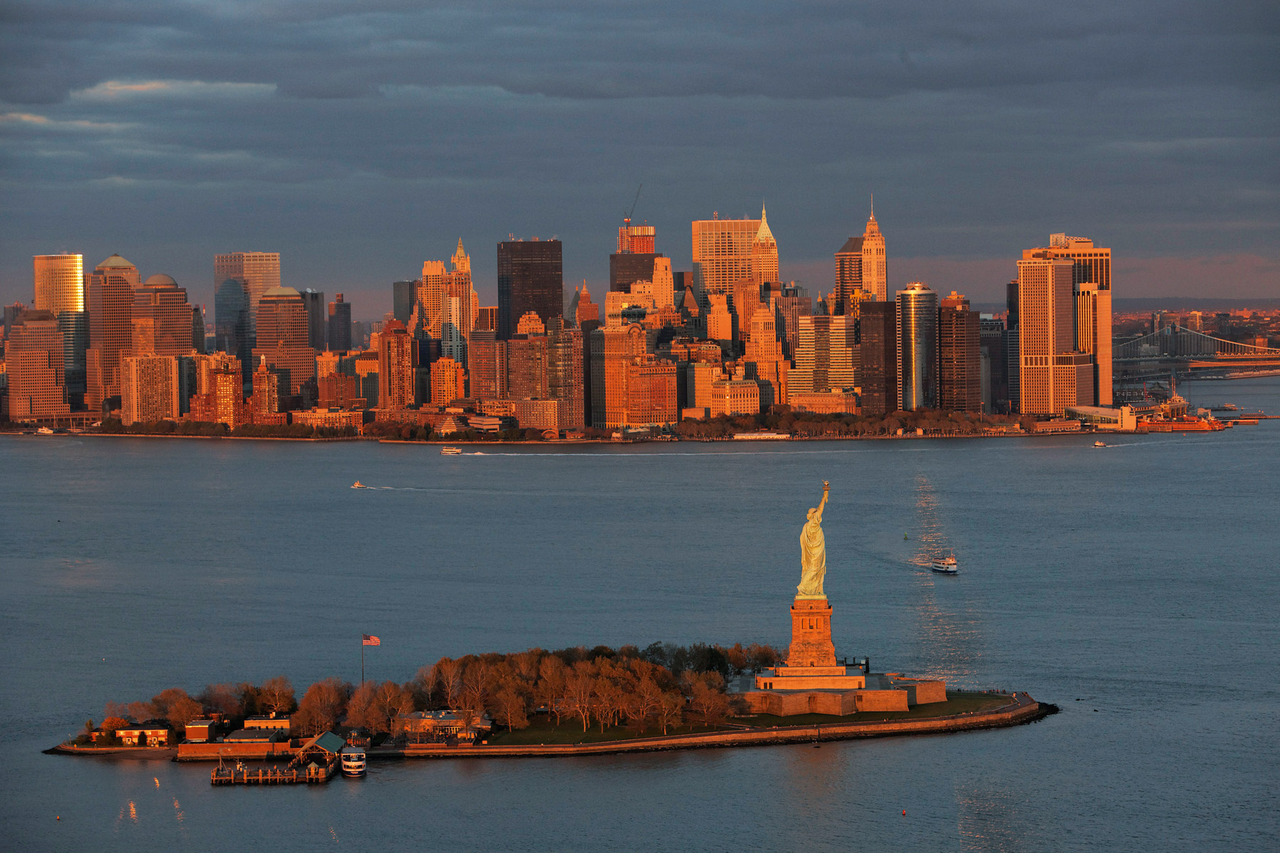
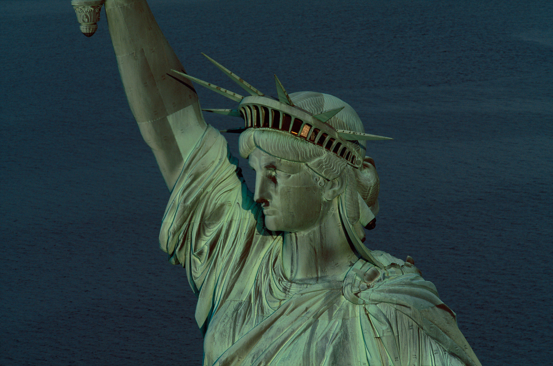
Statue of Liberty on Liberty Island, Manhattan, New York, United States (40°41’ N, 74°03’ W). The most famous statue in the world has stood proudly at the mouth of the Hudson River, south of Manhattan, since 1886, brandishing in her right hand the flame of liberty, and carrying in her other, a tablet that marks the date of the United States Declaration of Independence; the 4th of July 1776. Given by the French nation to the people of the United States, Liberty, “illuminating the world”, according to its official name, was the work of the French sculptor Frederic Auguste Bartholdi. The iron structure, engineered by Gustave Eiffel, is covered with beaten copper, and at 93 metres (305 feet) above sea level, the recent restoration, (including the re-gilding of the “illuminated torch” in 24 carat gold) will go some way to protecting the “flame”, in spite of the winds that swirl around at this point in the harbour. At Liberty’s feet, lie broken shackles of oppression and tyranny. This symbolism represents another facet of liberty; freedom of thought, a fundamental humanitarian right, held in contempt in many places of the world.
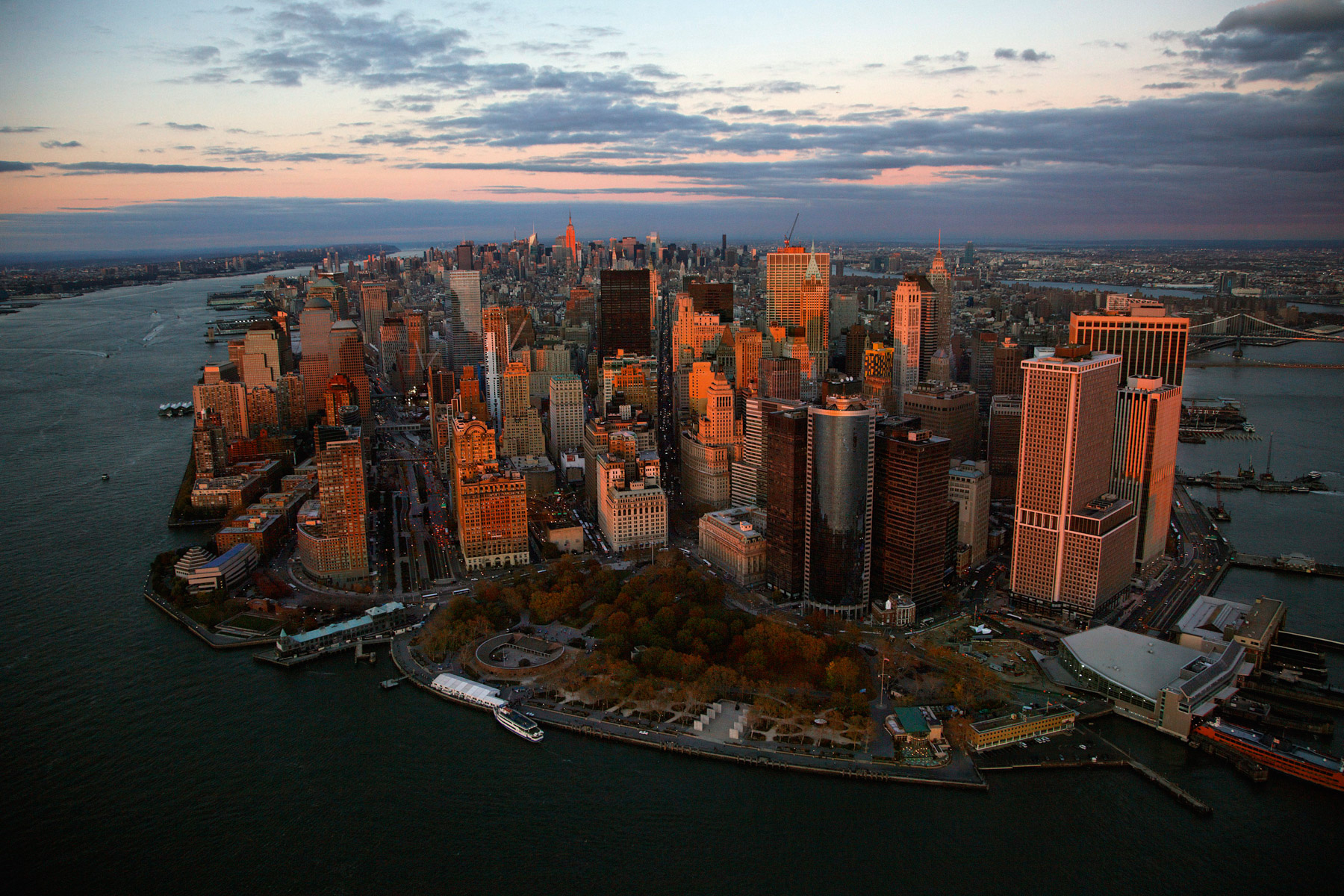
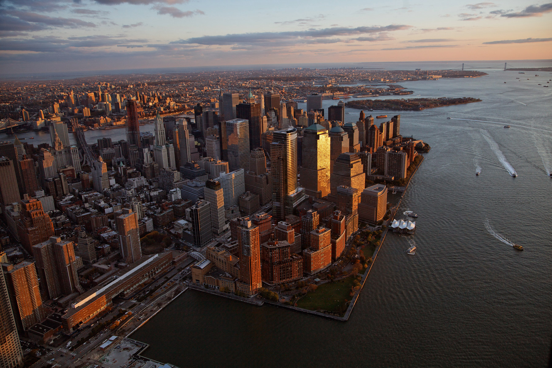
Manhattan and the Financial District, New York, United States (40°41'46.89" N, 74° 1'20.98" W).
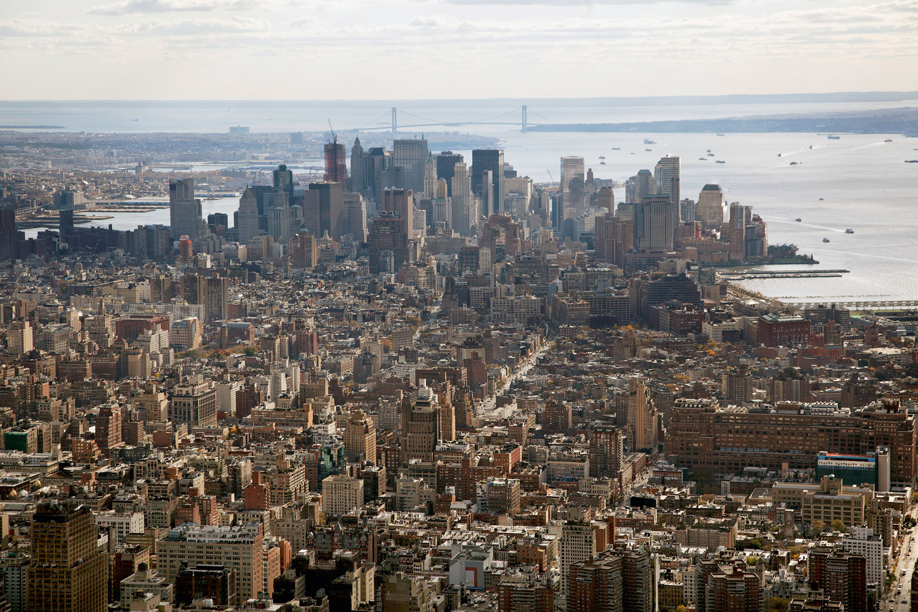
Lower Manhattan from Chelsea, Financial District and Hudson River, New York, United States (40°44'48.67" N, 73°59'54.51" W).
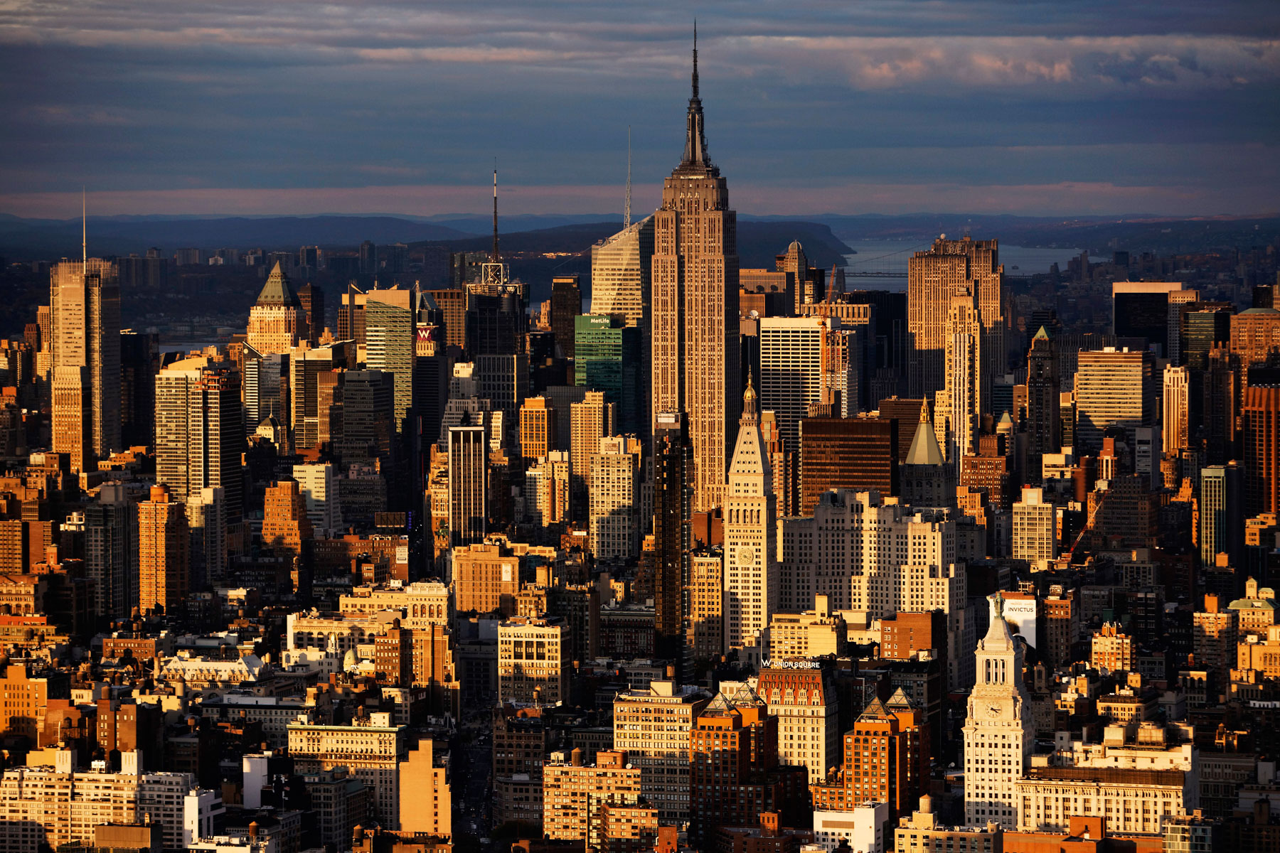
The Empire State Building and Midtown from South of 14th Street, New York, United States (40°43'53.12" N, 73°59'35.02" W).
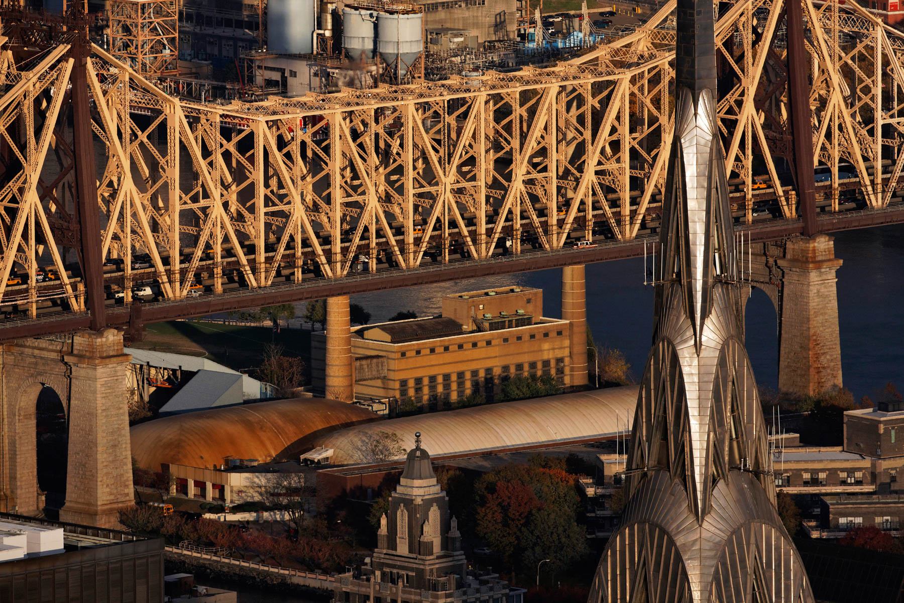
The Chrysler Building and the Major Edward Koch Bridge or Queensboro Bridge over the East River, New York, United States (40°45’ N, 73°57’ W).
The American International Building, 70 Pine Street, Financial District, Manhatta, New York, United States (40.70643°N, 74.00766°W).
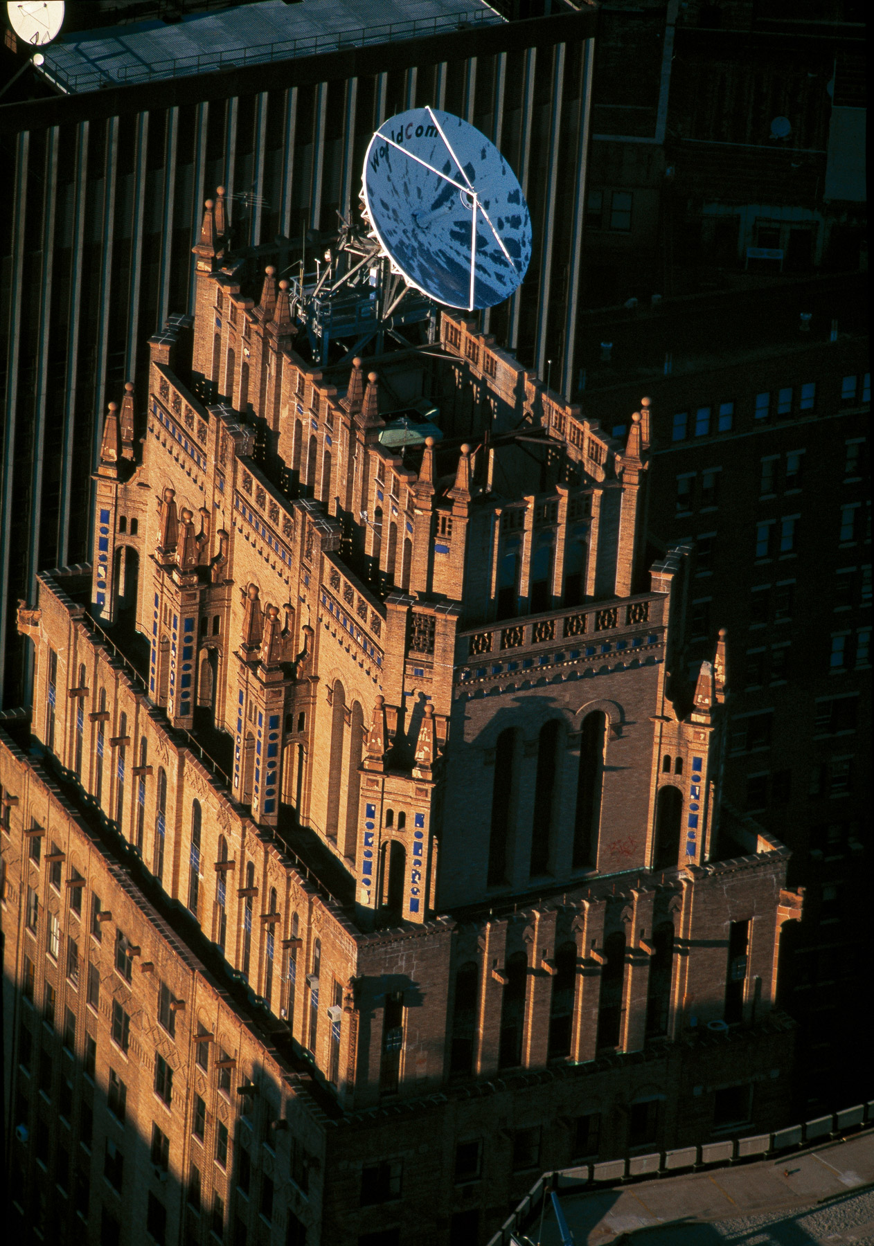
ITT World Communications Building, 75 Broad Street, Financial District, Manhattan, New York, United States (40°42'16.89" N, 74° 0'40.12" W).
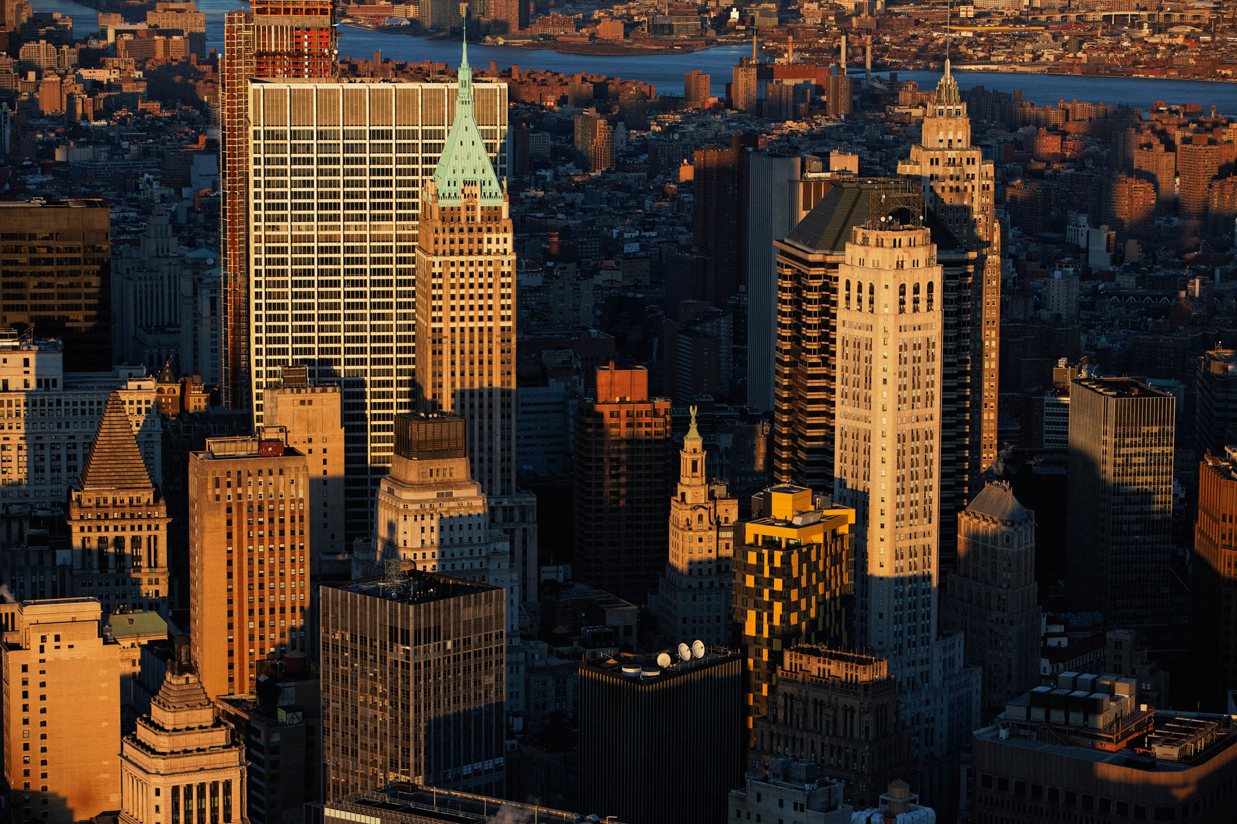
Financial District, Manhattan, New York, United States (40°42'16.36" N, 74° 0'45.37" W).
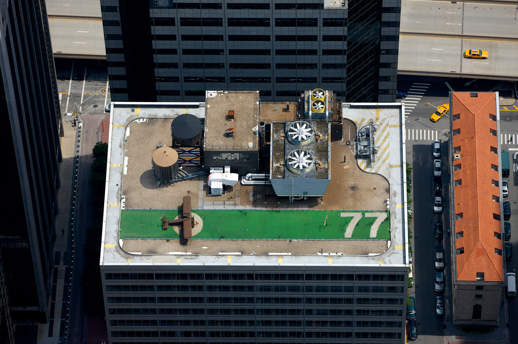
Replica of a World War I fighter plane on the rooftop of 77 Water Street, Financial District, Manhattan, New York, United States ( 40°42'15.00" N, 74° 0'29.67" W)
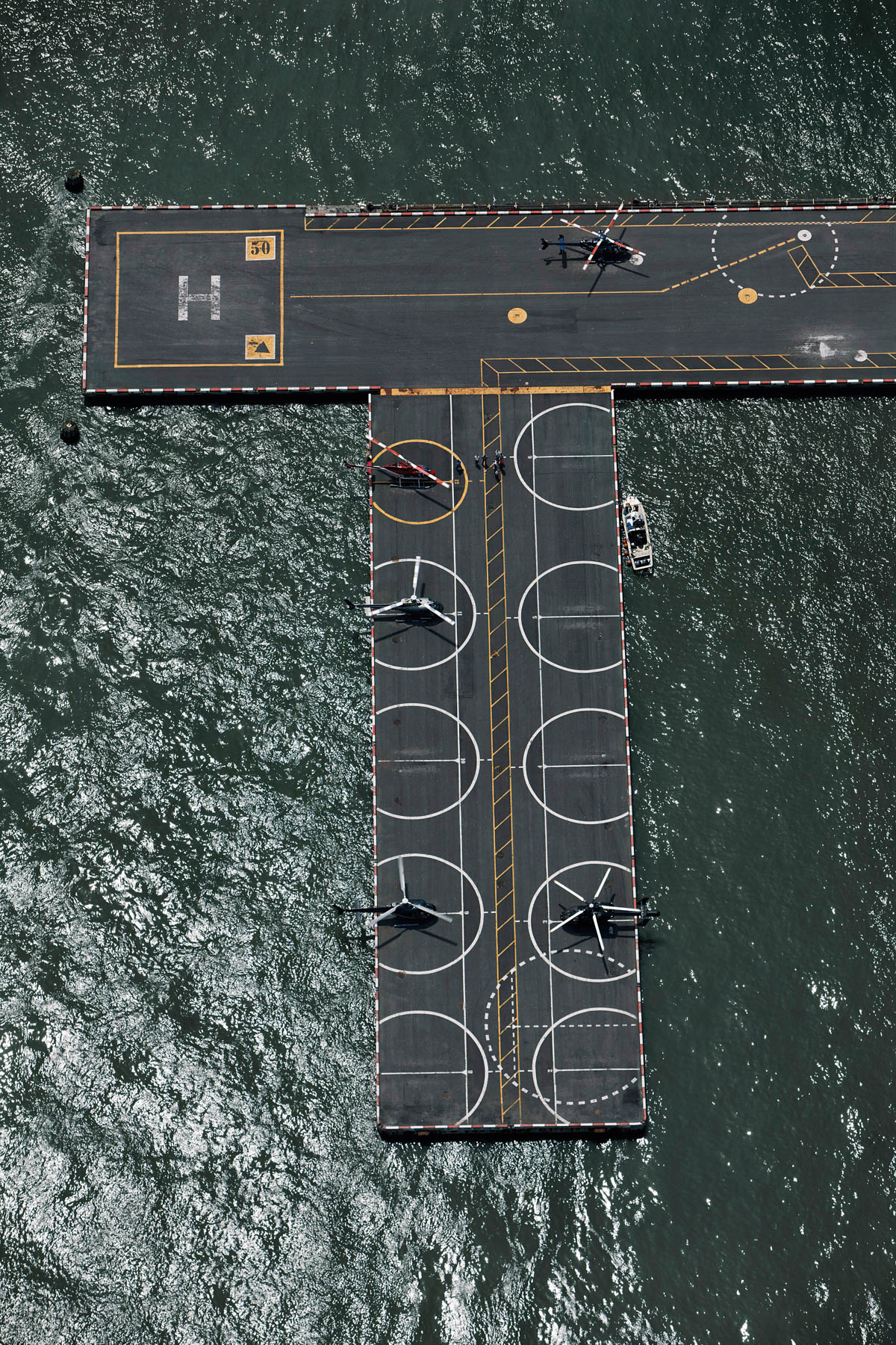
Downtown Heliport, Pier 6, East River, Financial District, Manhattan, New York, United States (40°42'04"N, 74°00'32"W).
Former 26 Federal Plaza by Martha Schwartz, Jacob Javits Plaza, Tribeca, Manhattan, New York, United States(40°42′54″ N, 74°0′13″ W)
Battery park City and Financial District, Manhattan, New York, United States (40°43'9.45" N, 74° 0'49.79" W).
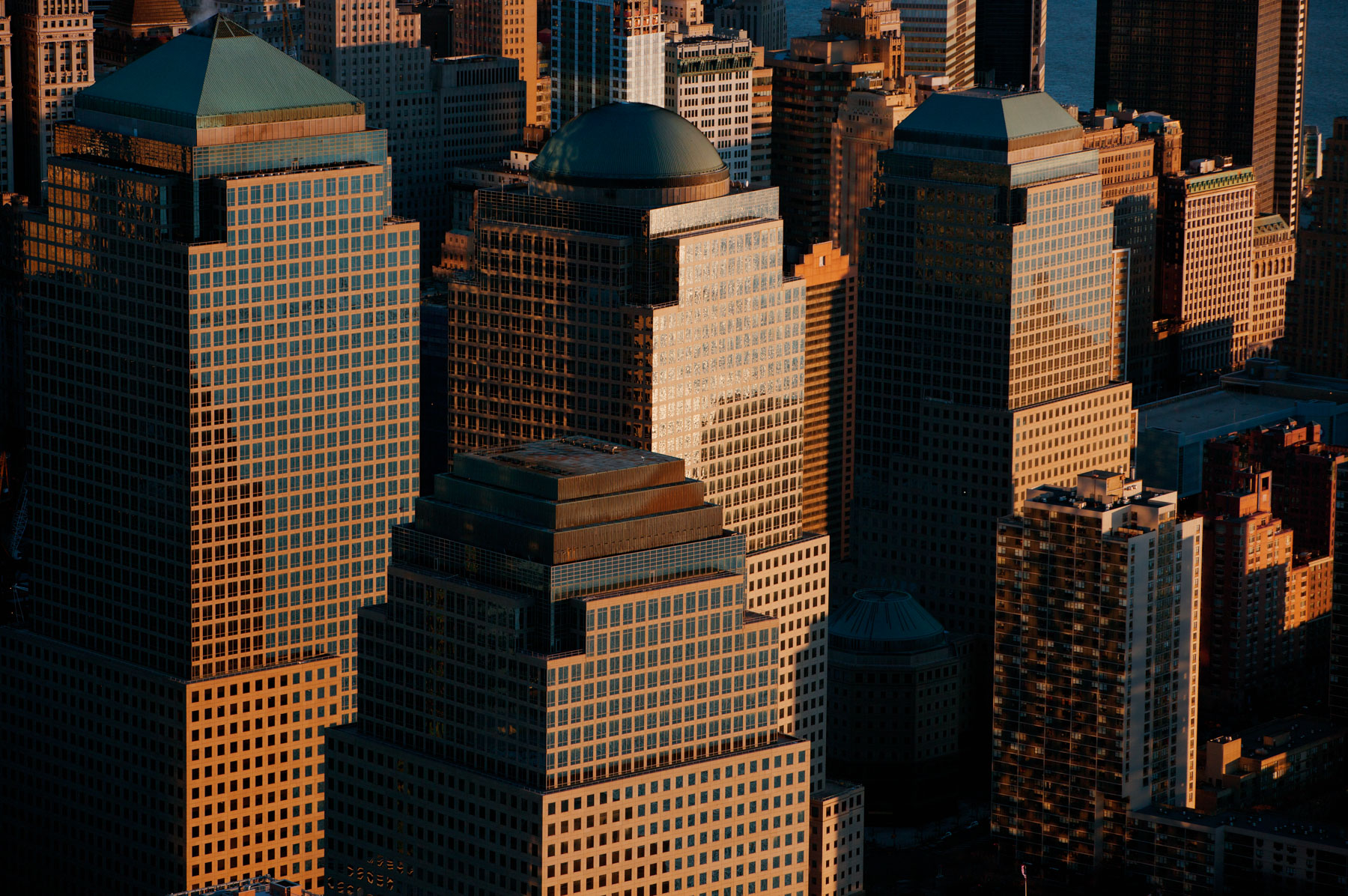
World Financial Center in Battery Park City, Financial District, Manhattan, New York, United States (40°42'48.73" N, 74° 0'57.35"O W).
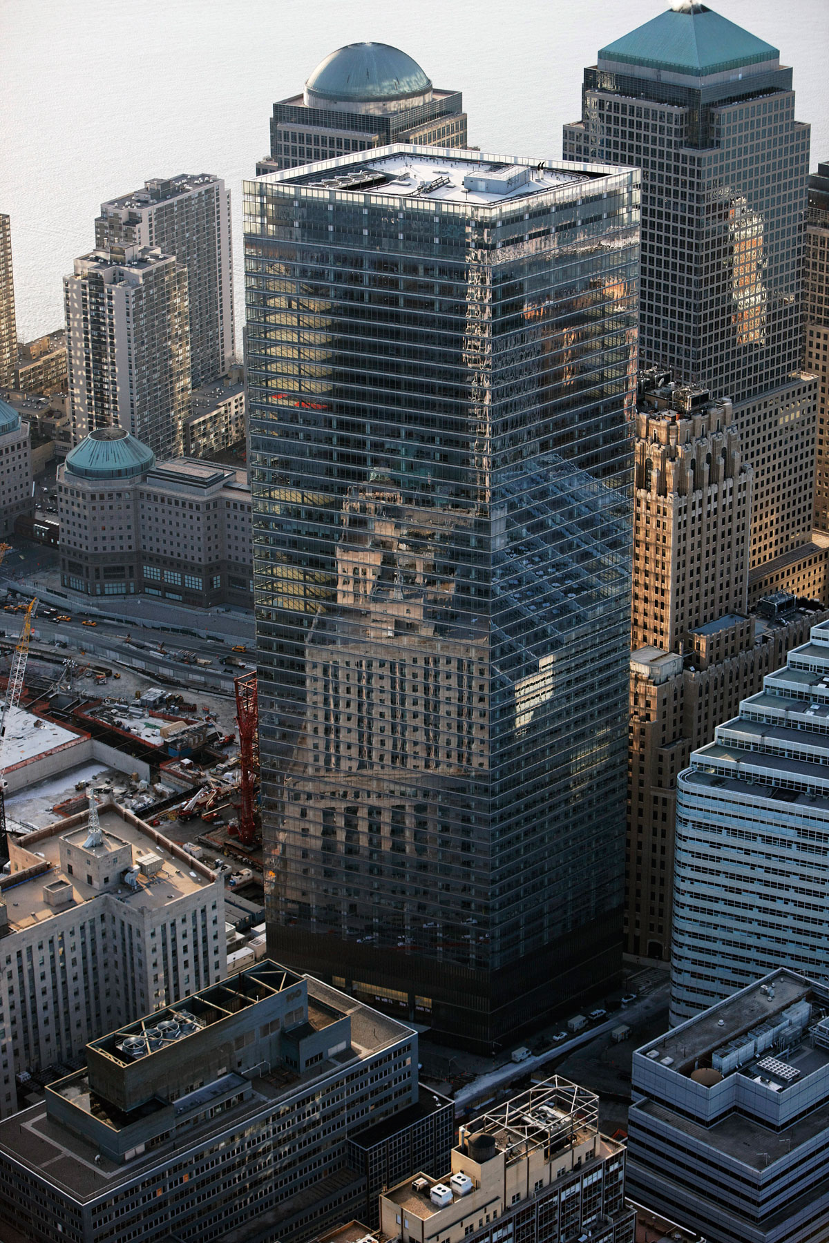
7 World Trade Center in Battery Park City, Financial District, Manhattan, New York, United States (40°42′47.88″N, 74°00′43.2″W).
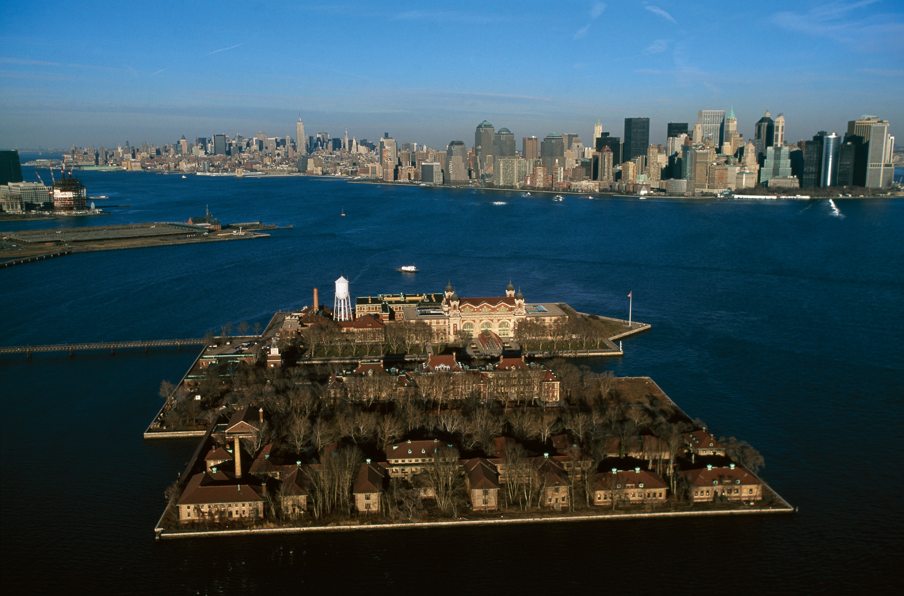
Ellis Island, Upper New York Bay, New York, United States (40°41 55″N, 74°02′28″W).
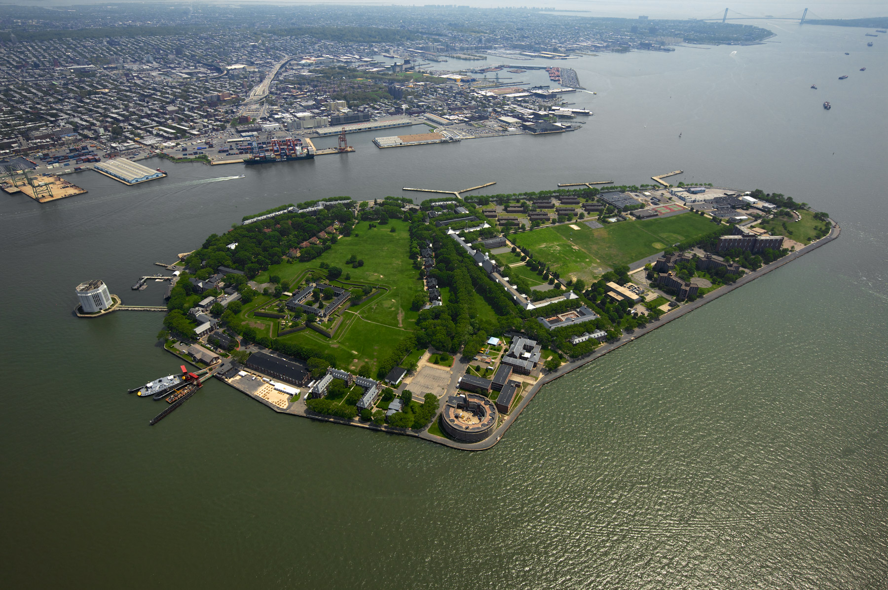
Governors Island National Monument, Governors Island, Upper New York Bay, New York, United States (40°41’ N, 74°01’ W).
Statue of Liberty, Liberty Island, Upper New York Bay, New York, United States (40°41' N, 74°03' W).
Brooklyn, New York, United States (40°41'4.09" N, 73°58'34.12" W).
Chamber of Commerce Building, Court Remsen Building, Brooklyn, New York, United States (40°41'30.69" N, 73°59'30.33" W).
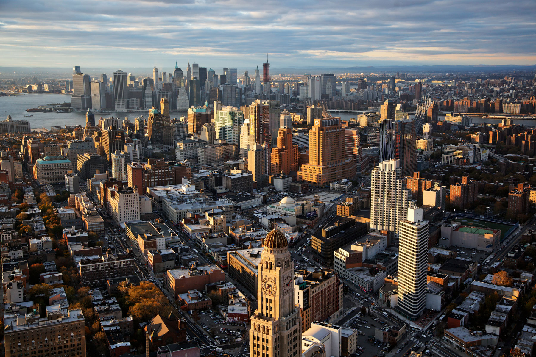
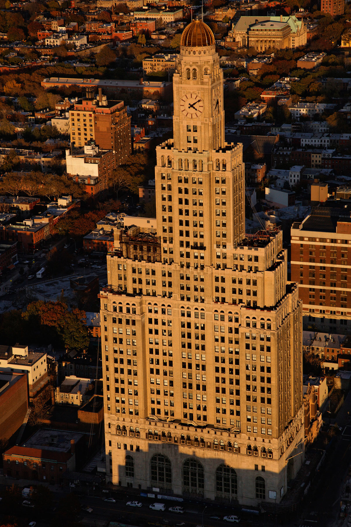
Williamsburgh Savings Bank Tower, One Hanson Place, Brooklyn, New York, United States (40°41′8″N, 73°58′40″W).
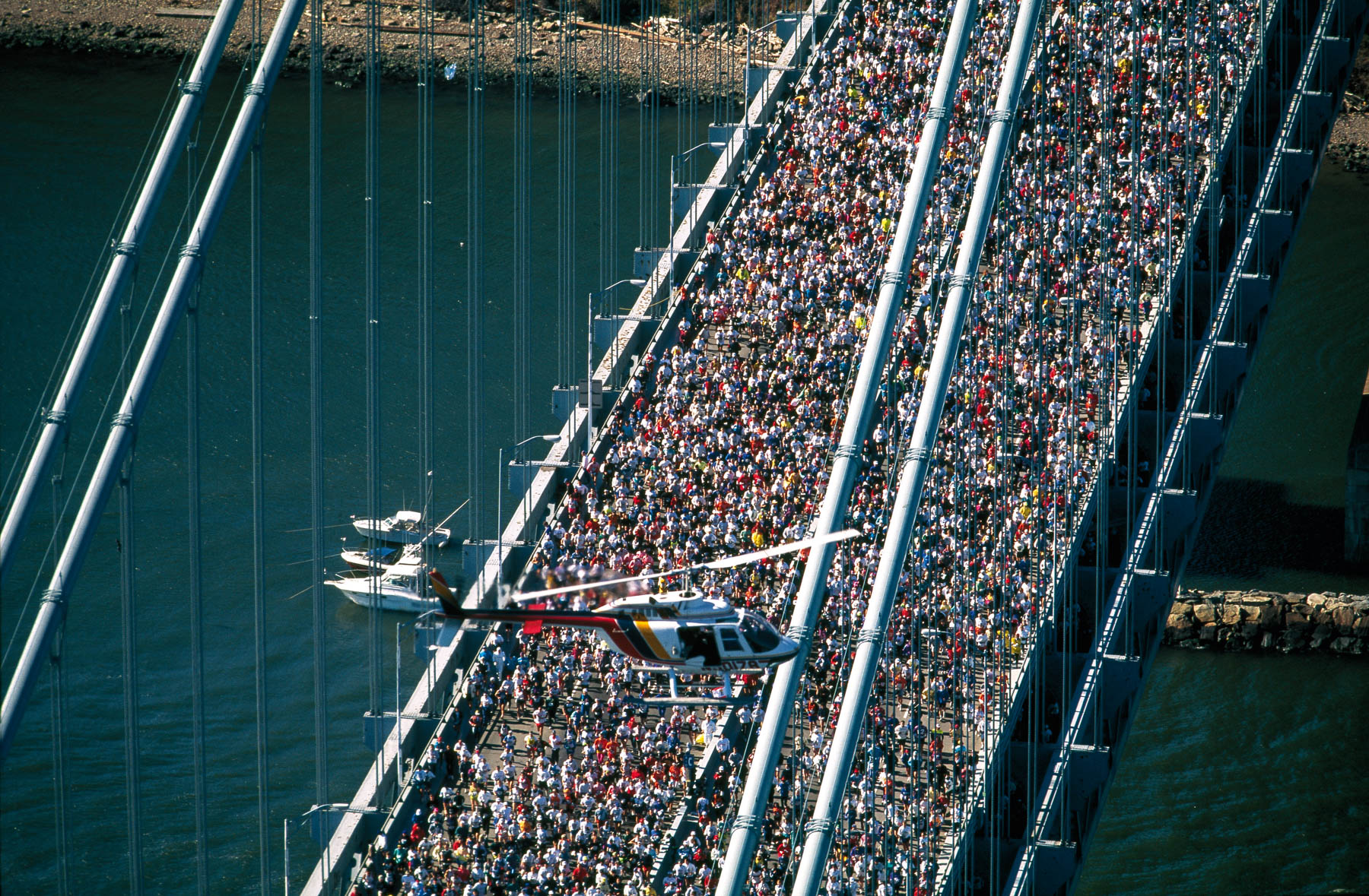
Marathon crossing the Verrazano Bridge, New York, United States (40°36’ N, 74°03’ W).
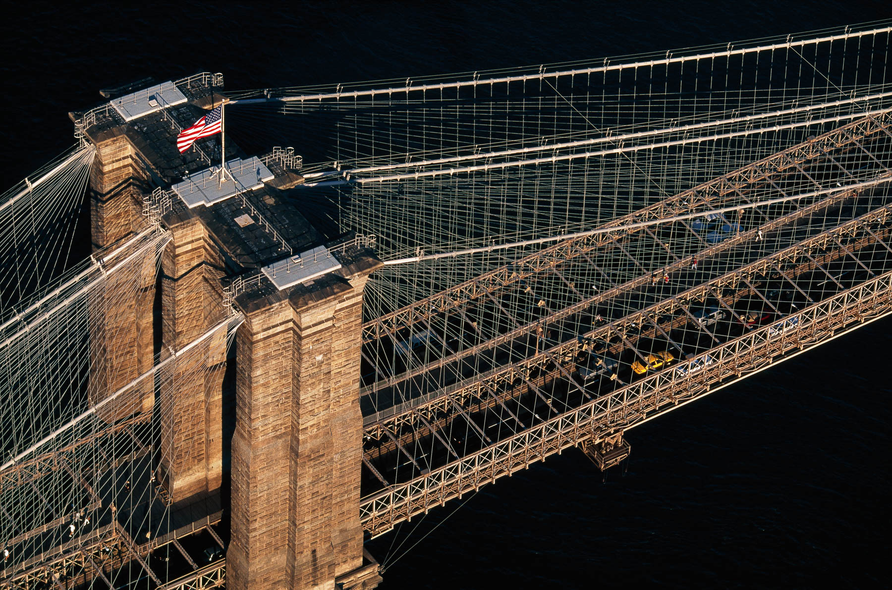
The Brooklyn Bridge over the East River, New York, United States (40°42′22″N, 73°59′49"W).
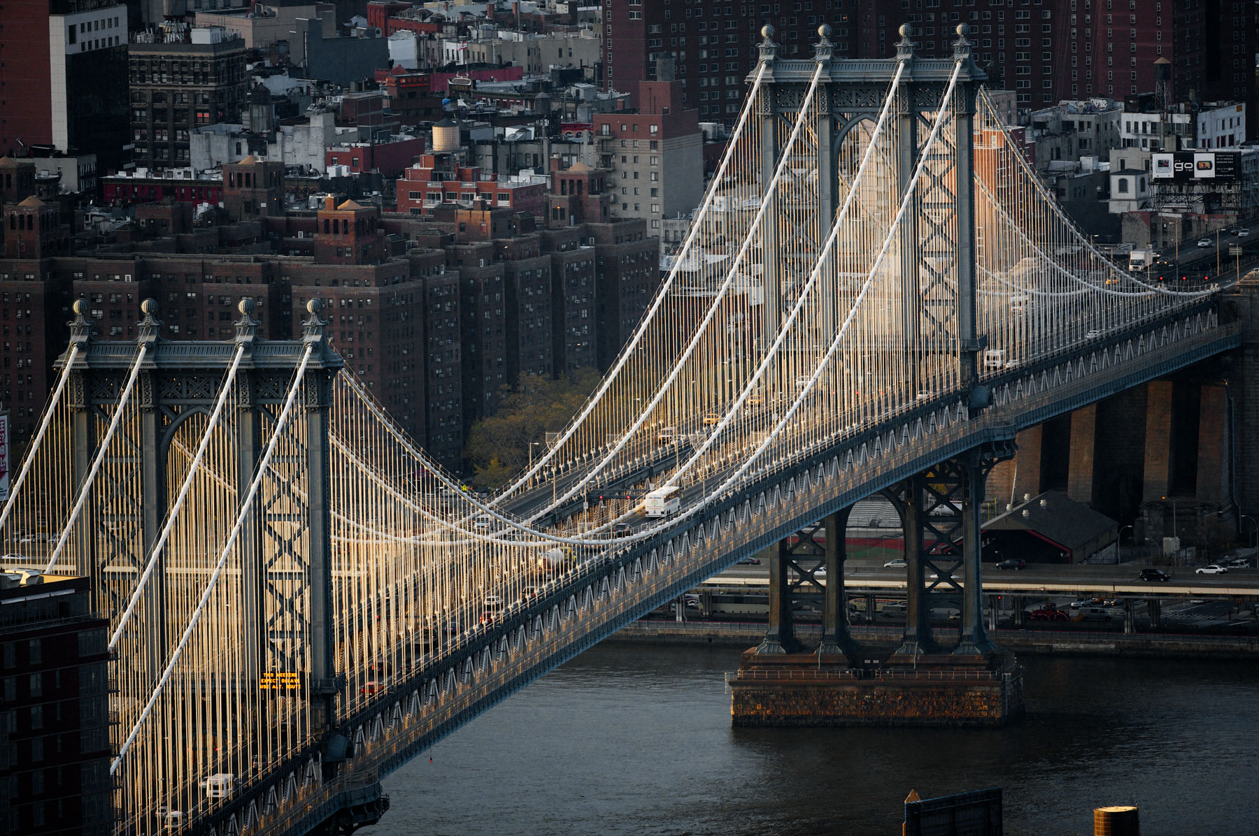
Manhattan Bridge over the East River, New York, United States(40°42′ 24″N, 73°59′25″W).
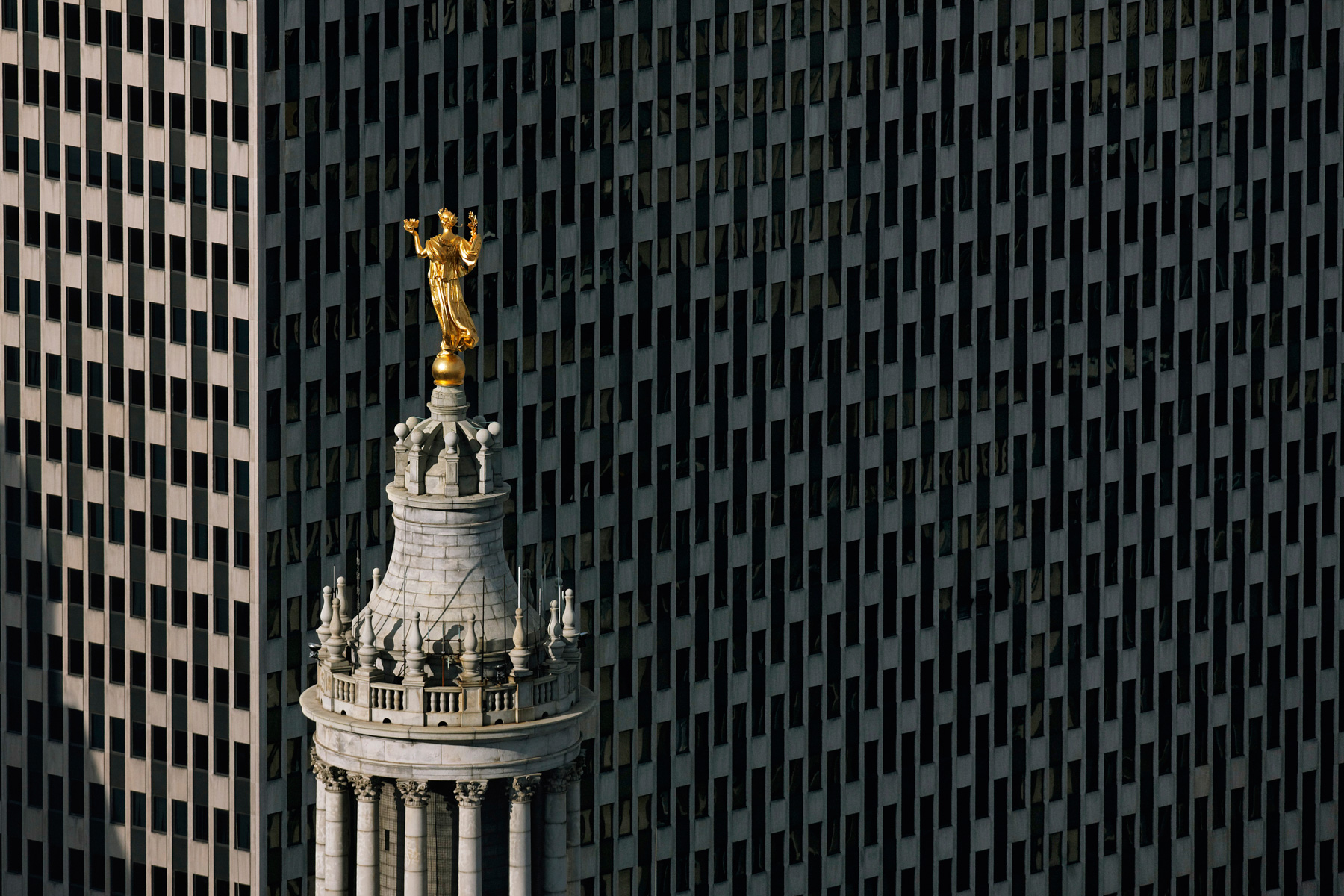
Civic Fame Statue on the top of the Municipal Bulding, Tribeca, Manhattan, New York, United States (40°42′47″N, 74°00′14″W).
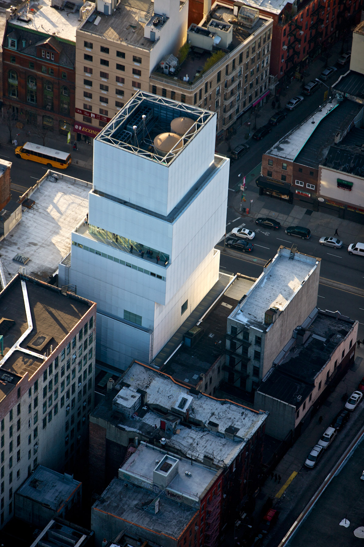
New Museum of Contemporary Art, 235 Bowery Street, Little Italy, Manhattan, New York, United States (40°43′21″N, 73°59′34″W).
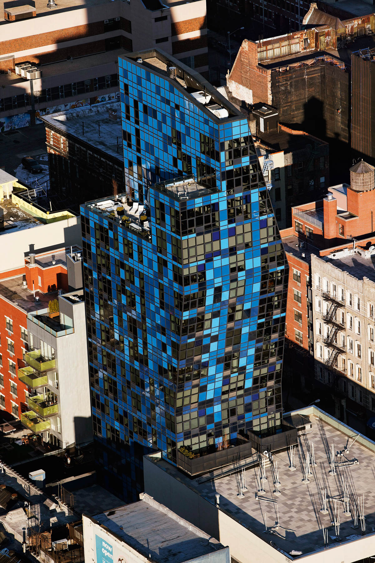
The Blue Condominium Tower by the architect Bernard Tschumi, Lower East Side, Manhattan, New York, Etats-Unis (40°43’ N, 73°59’ W).
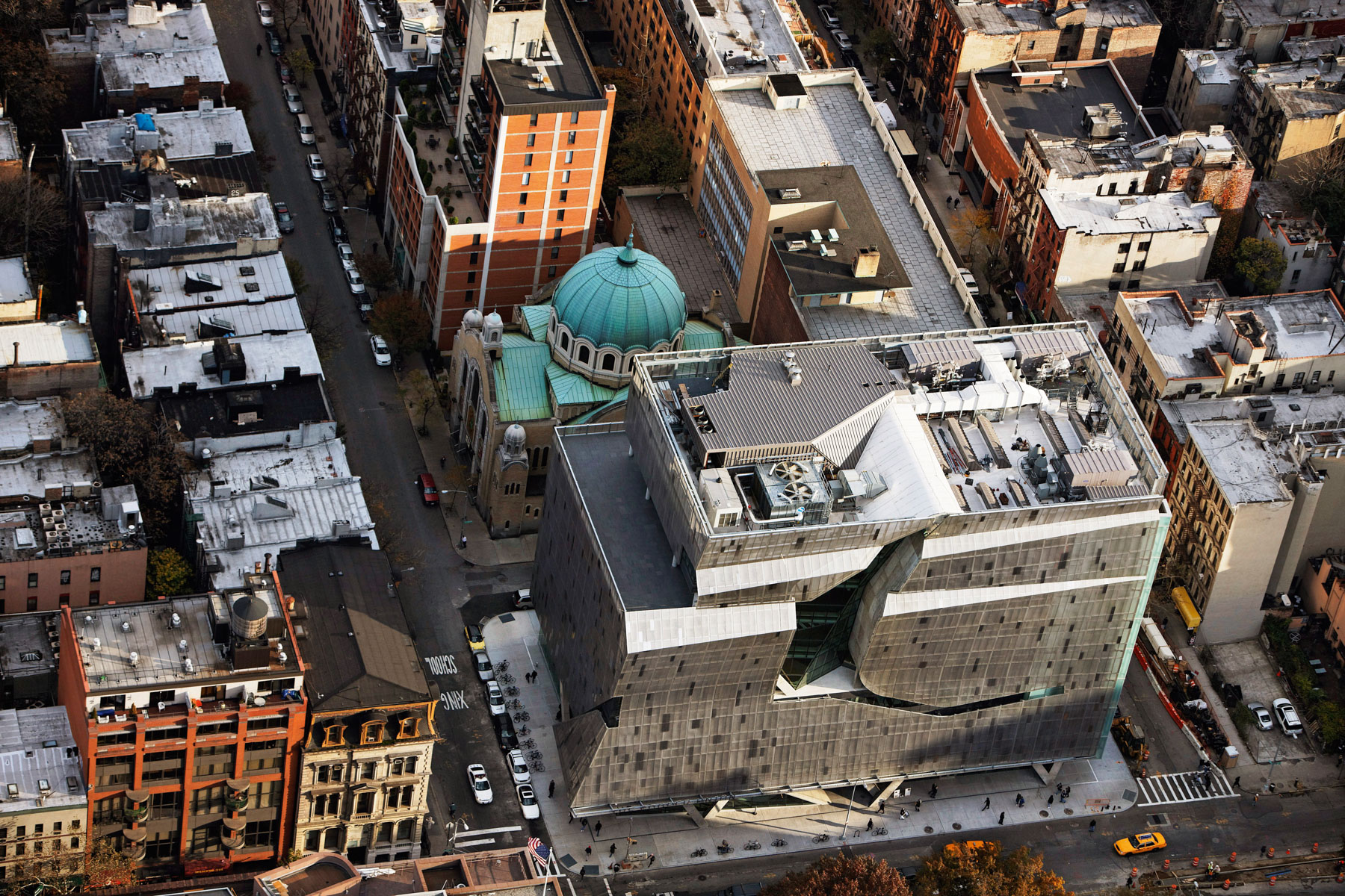
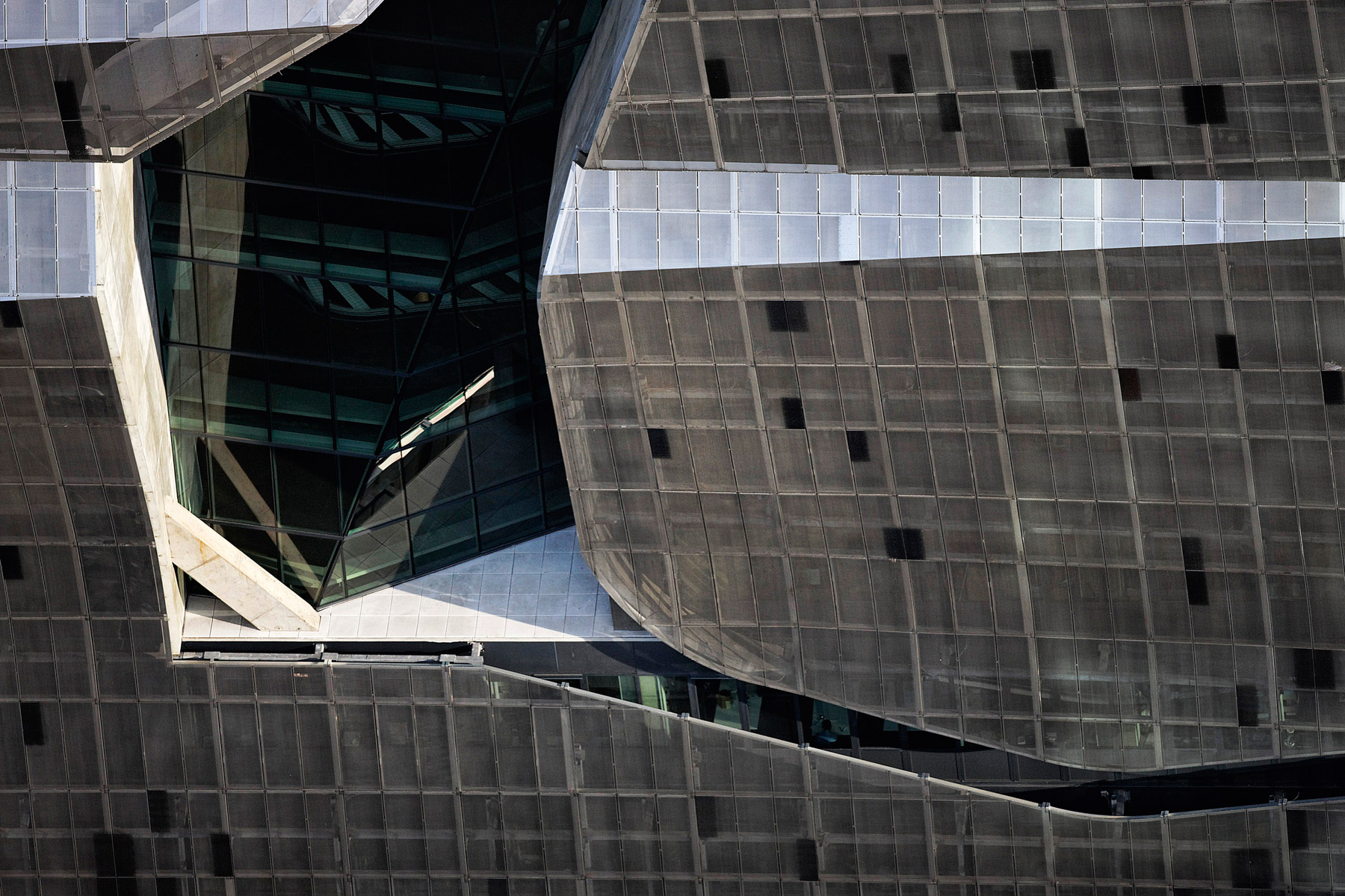
Cooper Union New Academic Building, East Village, Manhattan, New York, United States (40°44’ N, 73°59’ W).
Cooper Union New Academic Building, East Village, Manhattan, New York, United States (40°44’ N, 73°59’ W).
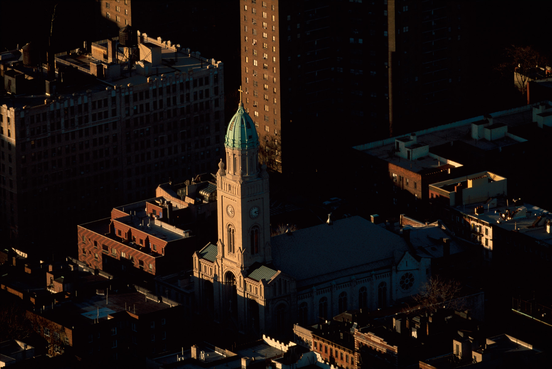
Most Holy Redeemer Church, Lower East Side, Manhattan, New York, United States (40°43′24″N, 73°59′04″W).
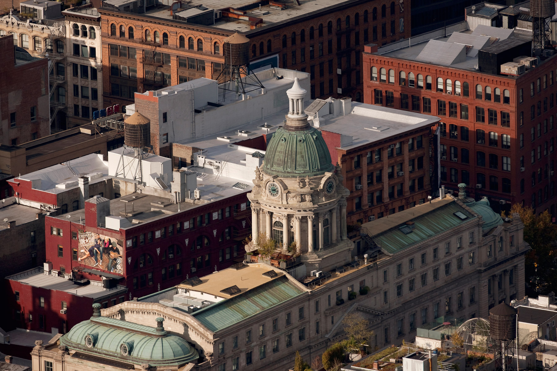
240 Centre Street former Police Headquarters Building, Little Italy, Manhattan, New York, United States (40°43’ N, 73°60’ W).
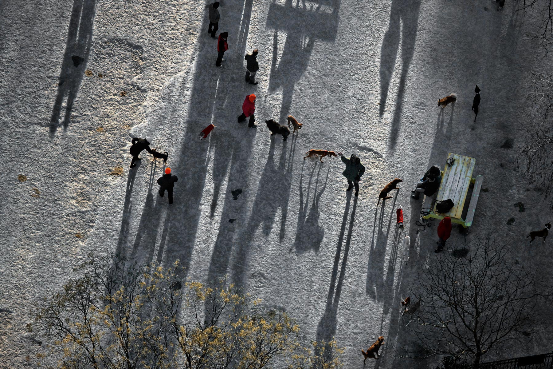
The Dog Run or First Run, Tompkins Square Park, East Village, Manhattan, New York, United States (40°43′34″N, 73°58′53″W).
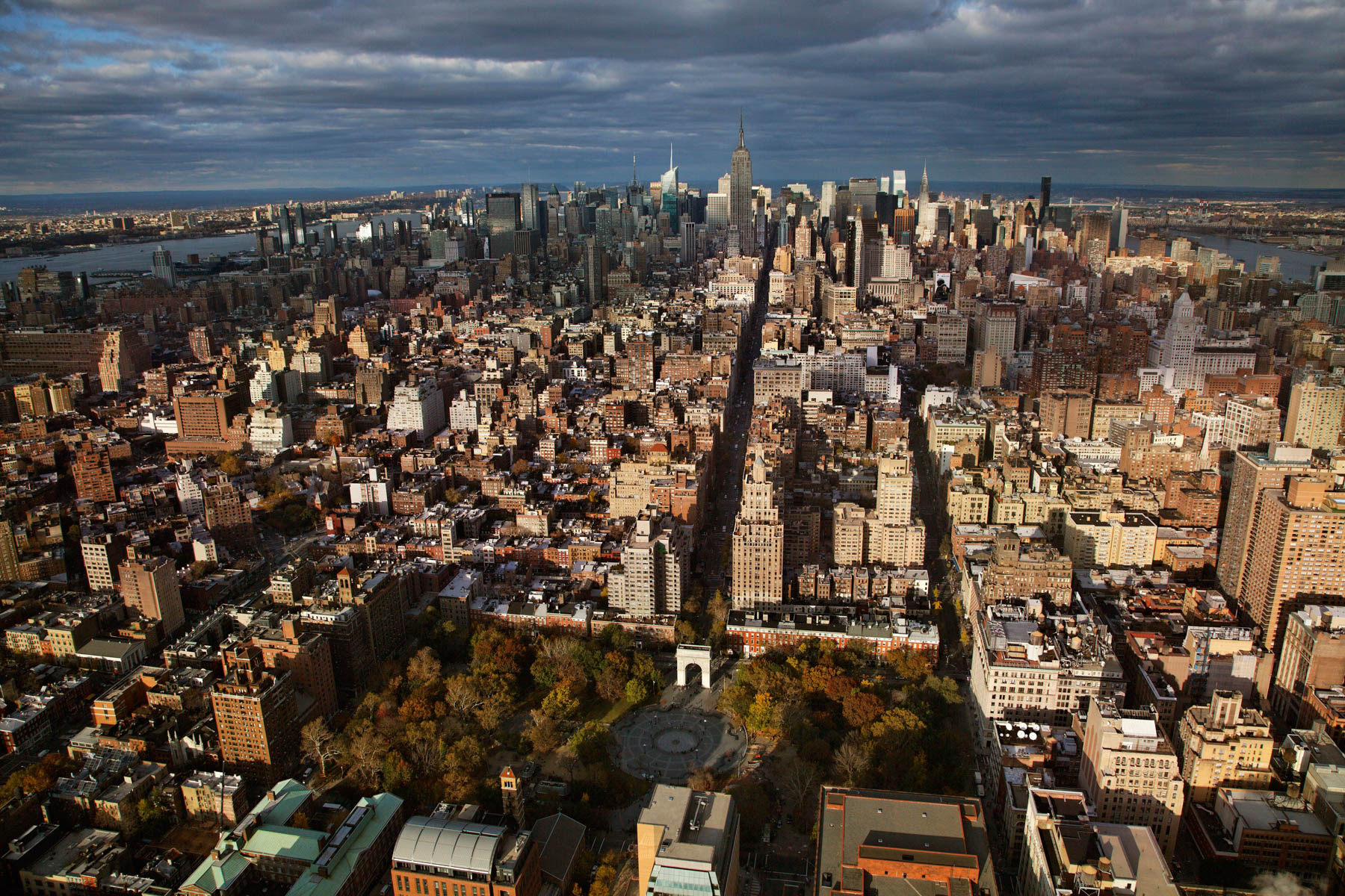
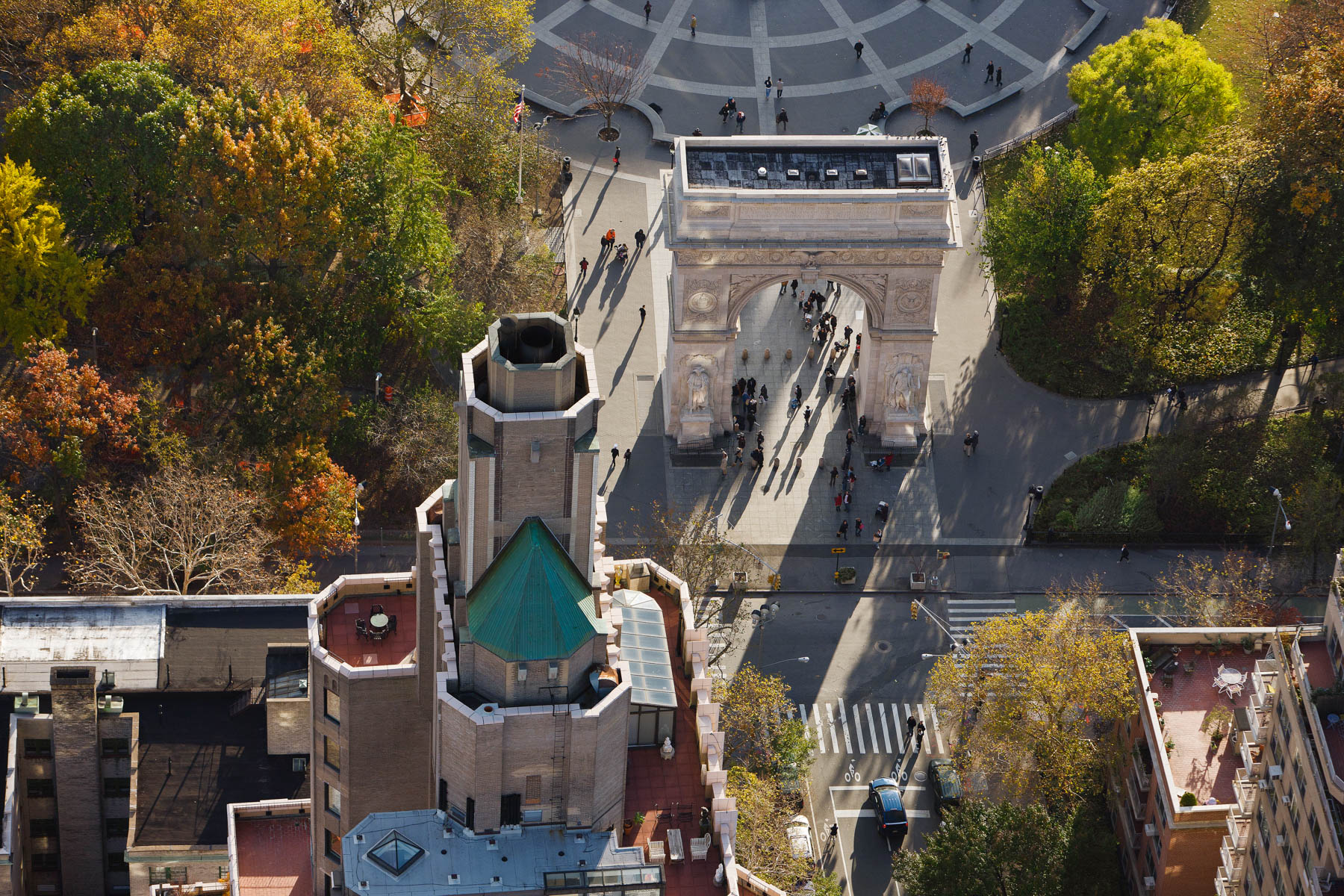
Washington Square Arch and Lower Manhattan, Greenwich Village, Manhattan, New York, United States (40°43'52.41" N, 73°59'49.57"O W).
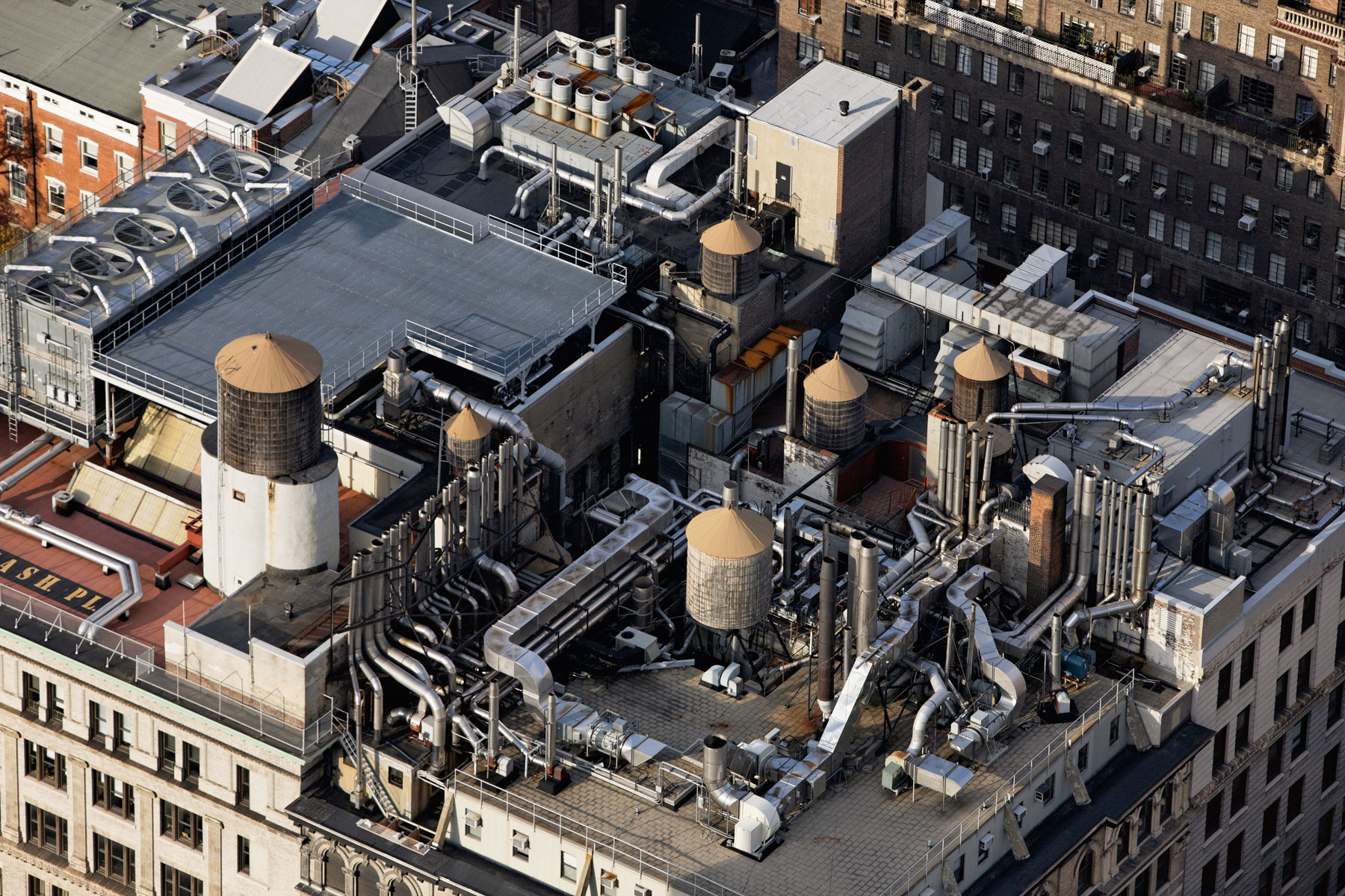
Brown Building of Science, 29 Washington Place, Greenwich Village, Manhattan, New York, United States(40°43′48″N, 73°59′45″W).
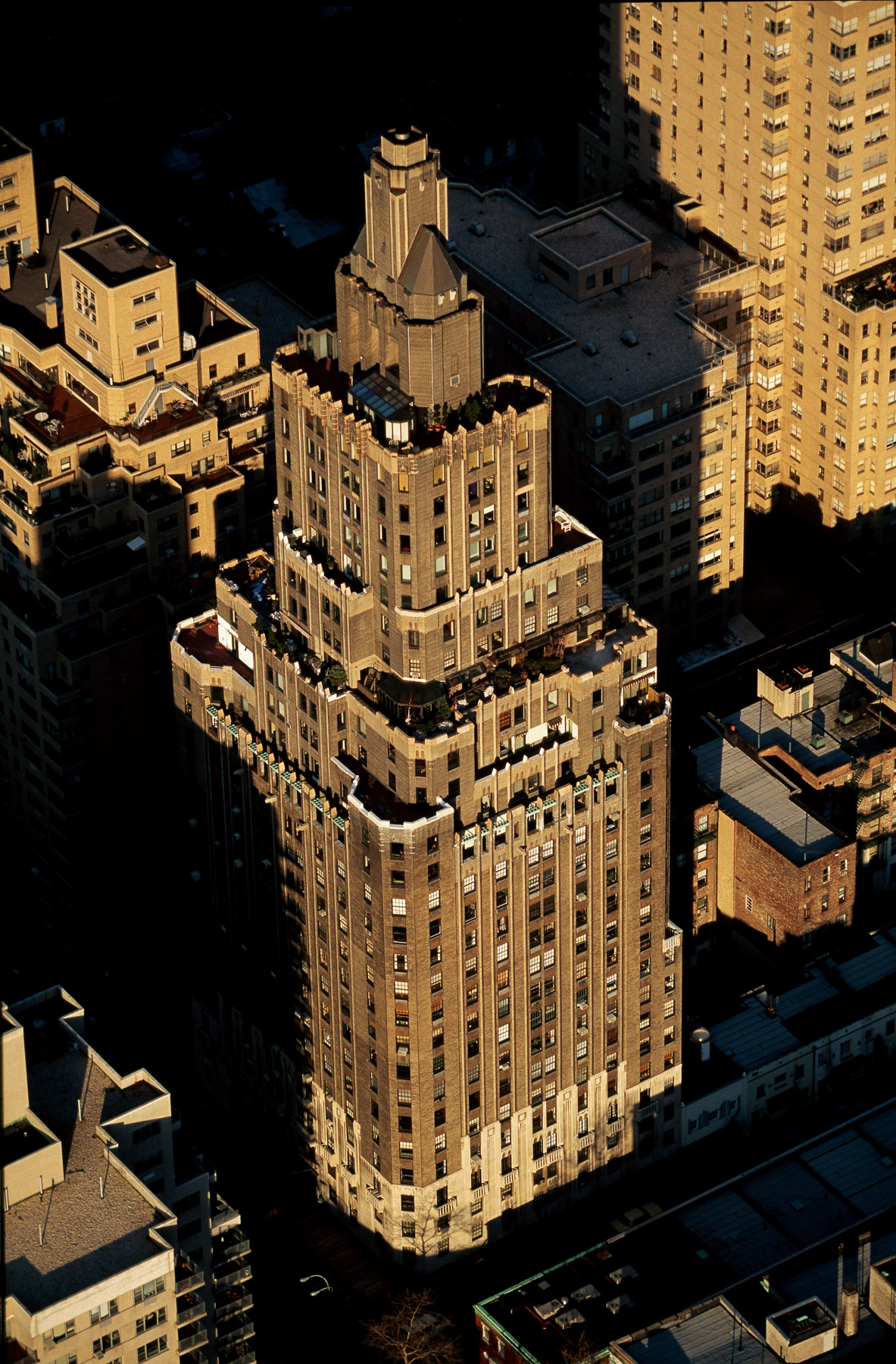
One Fifth Avenue Apartment by Harvey Wiley Corbett, Greenwich Village, Manhattan, New York, United States (40°43'54.84" N, 73°59'46.35" W).
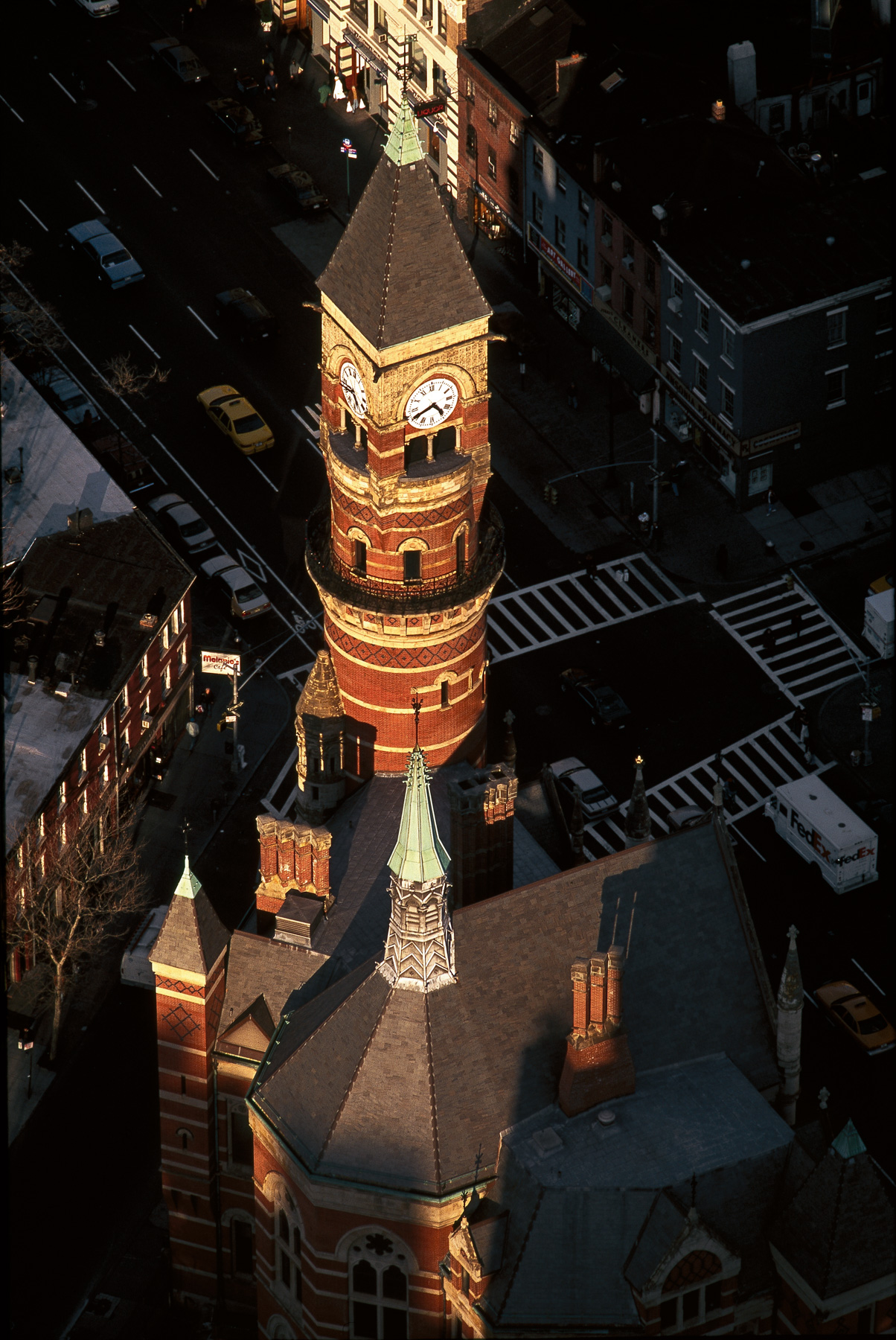
Jefferson Market Library, 425 Sixth Avenue, West Village, Manhattan, New York, United States (40°44′05″N, 73°59′57″W).
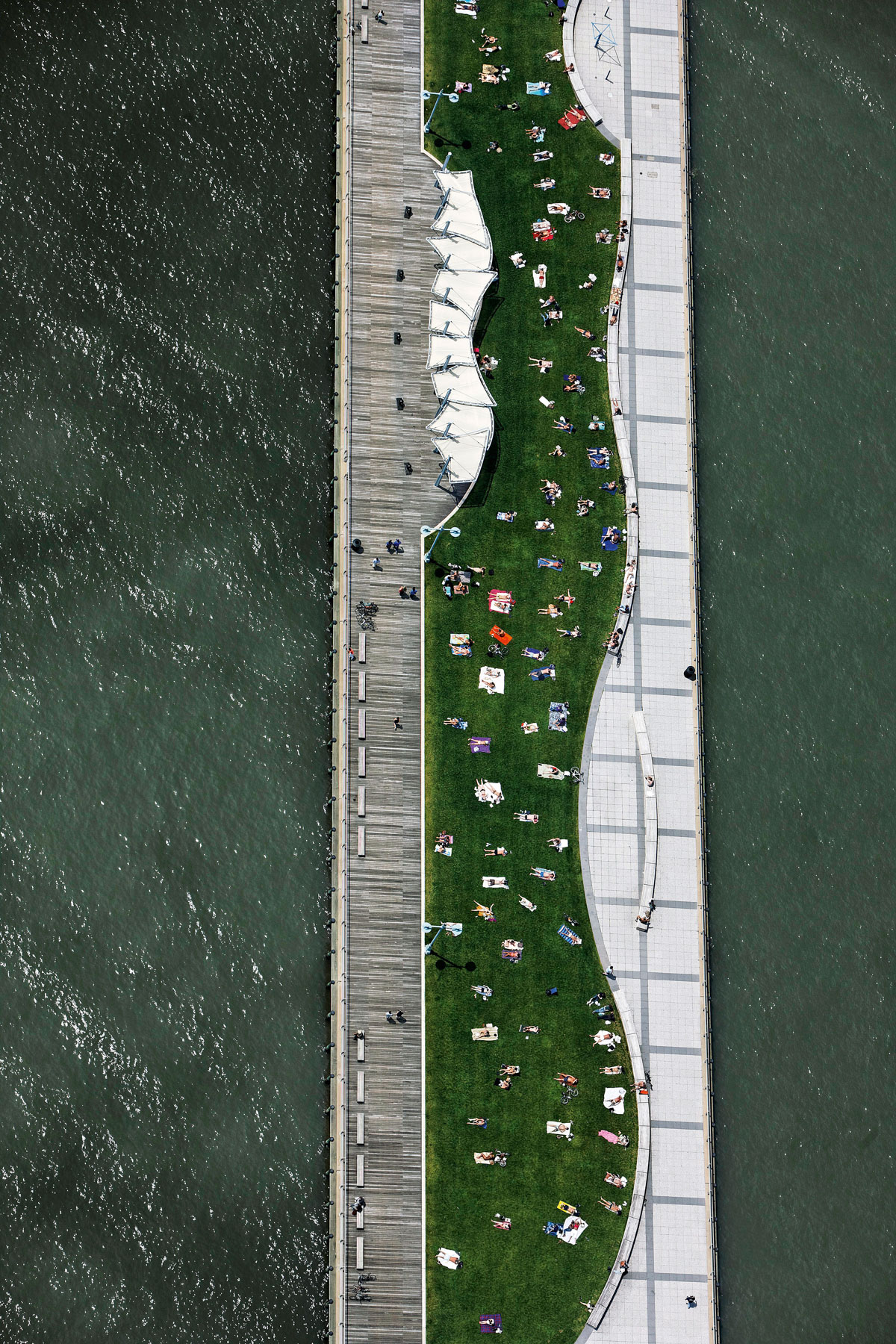
Christopher Street Pier, Pier 45, Greenwich Village, Manhattan, New York, United States(40°43′59″N, 74°00′40″W).
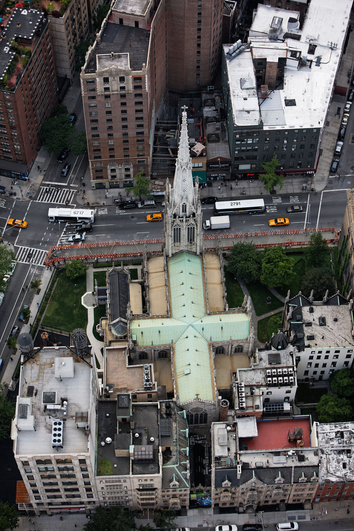
Grace Church, Greenwich Village, Manhattan, New York, United States (40°44’ N, 73°59’ W).
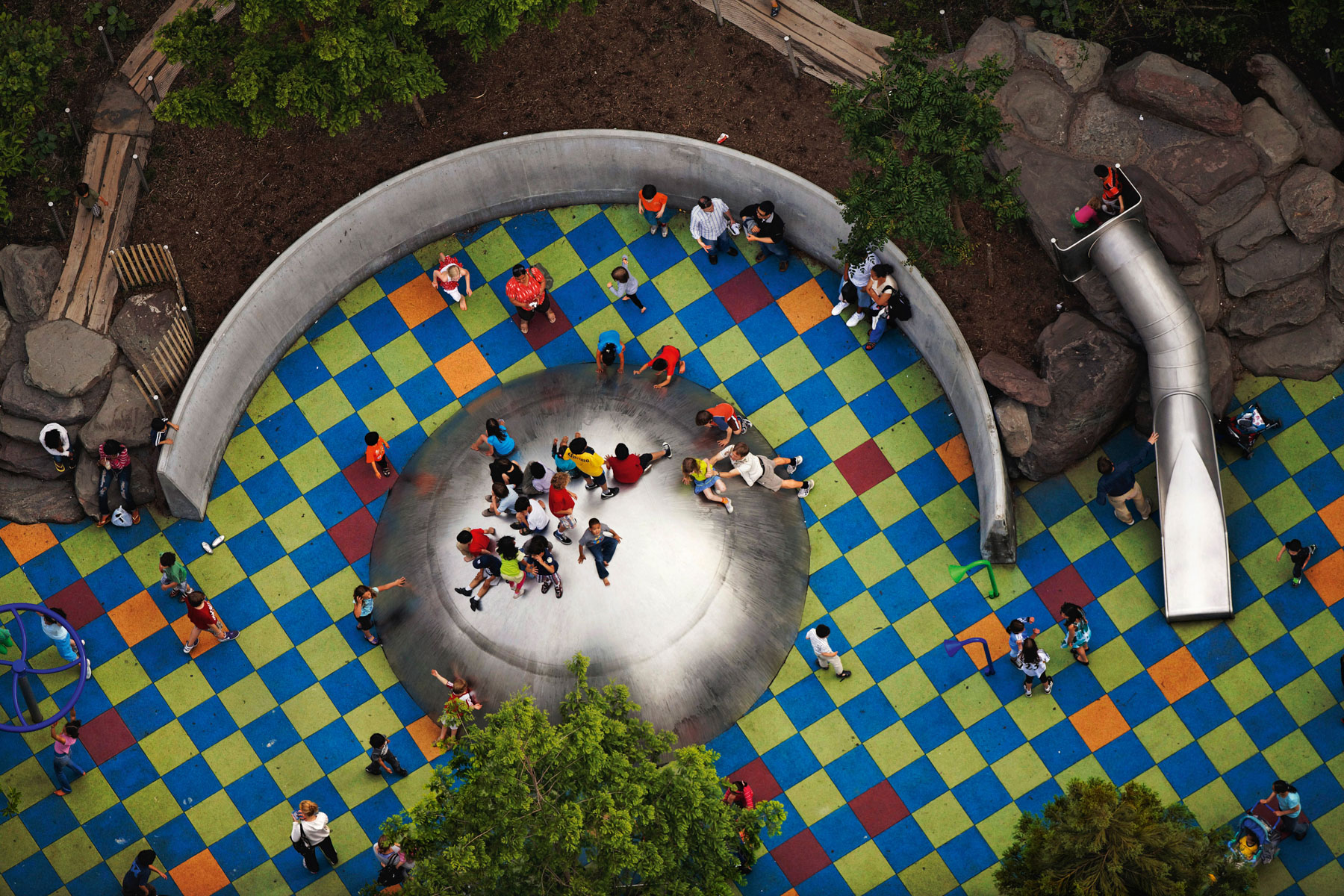
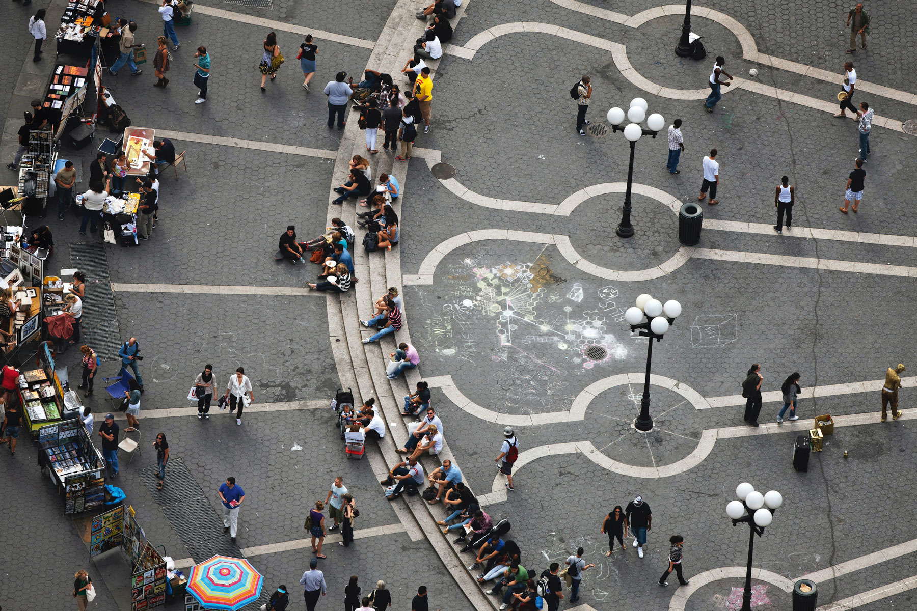
Union Square Park Playground, Gramercy, Manhattan, New York, United States (40°44’ N, 73°59’ W).
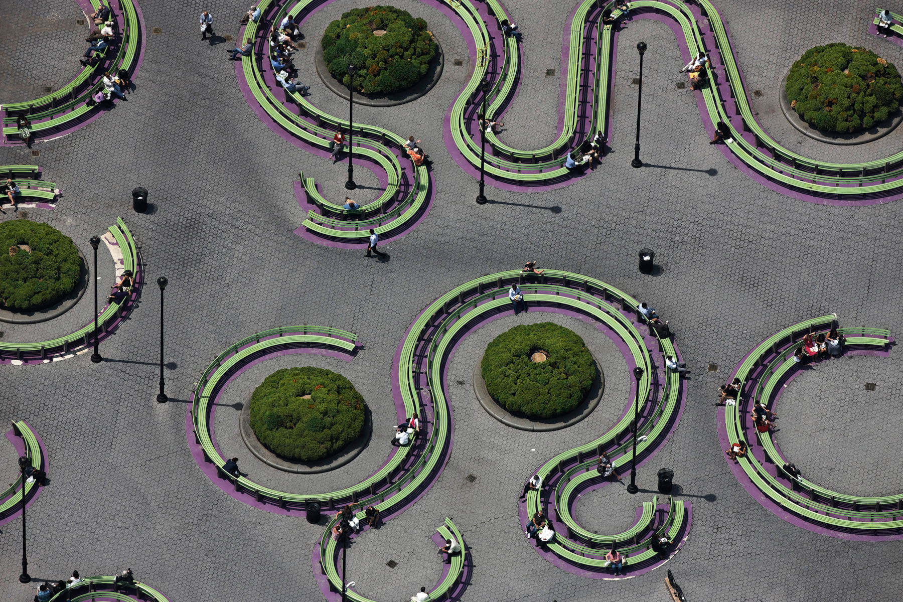
Union Square Park, Gramercy, Manhattan, New York, United States (40°44’ N, 73°59’ W).
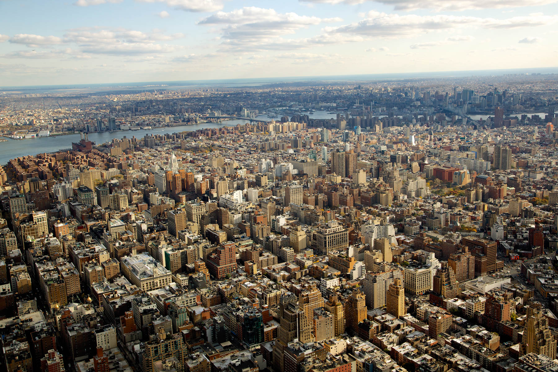
The Queens, Brooklyn and the East River from Manhattan, New York, United States (40°44'24.89" N, 73°59'35.45" W).
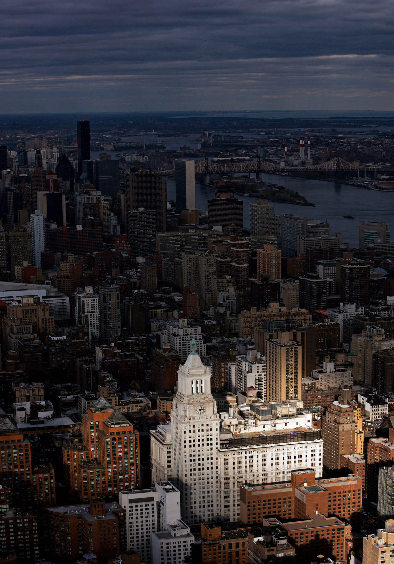
Consolidated Edison Tower, 4 Irving Place, Gramercy district, Manhattan, New York, United States (40°44'3.23" N, 73°59'17.52" W).
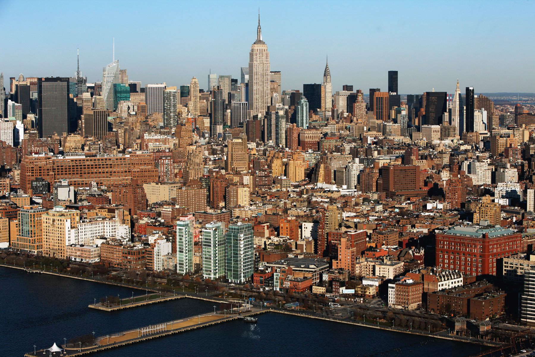
Empire State Building and Midtown from Hudson River, Manhattan, New York, United States (40°44'1.30" N, 74° 0'48.16" W).
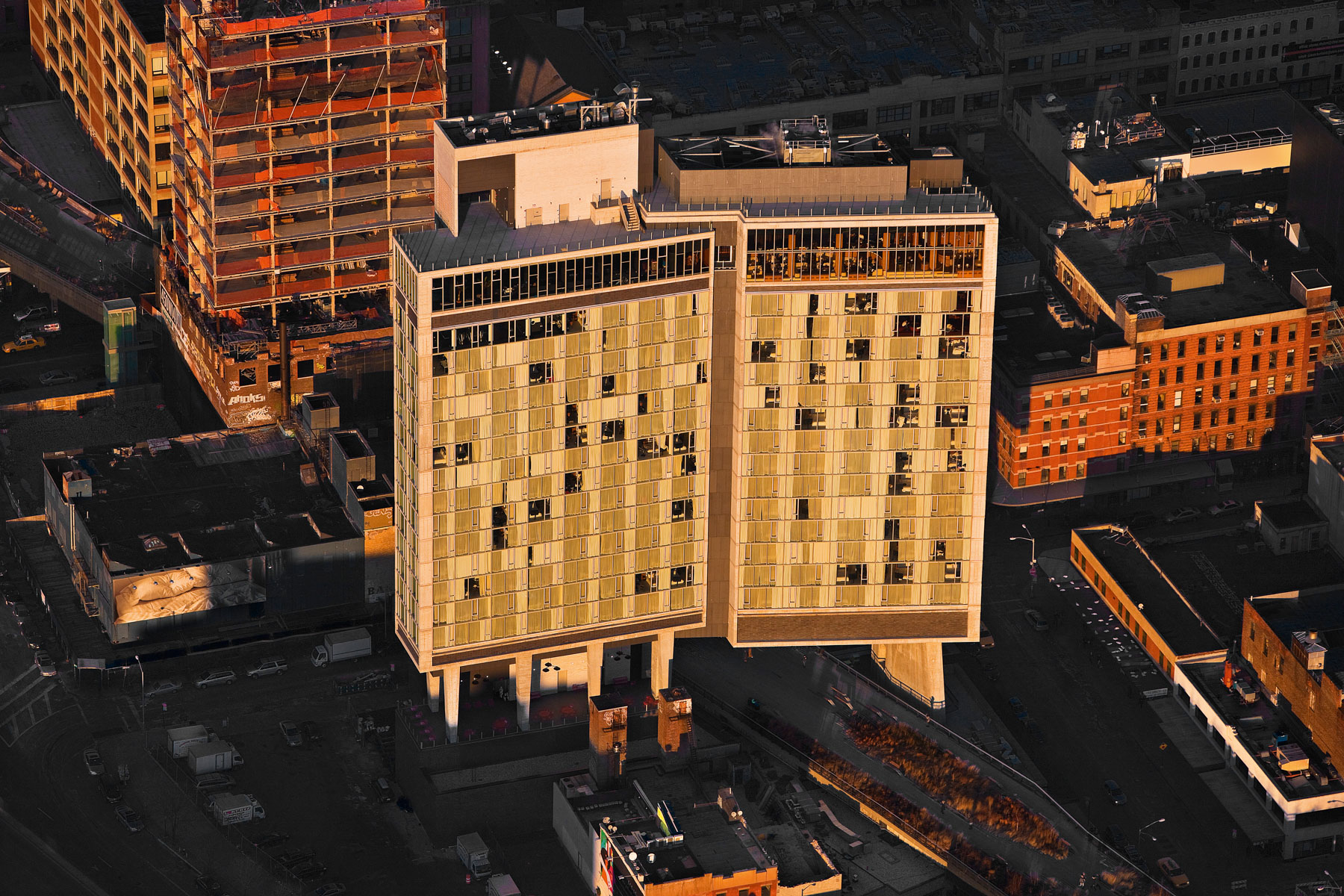
Standard Hotel and the High Line, Meatpacking district, Manhattan, New York, United States (40°44′54″N, 74°0′18″W).
Palazzo Chupi by Julian Schnabel, West Village, Manhattan, New York, United States (40°44′07″N, 74°00′32″W).
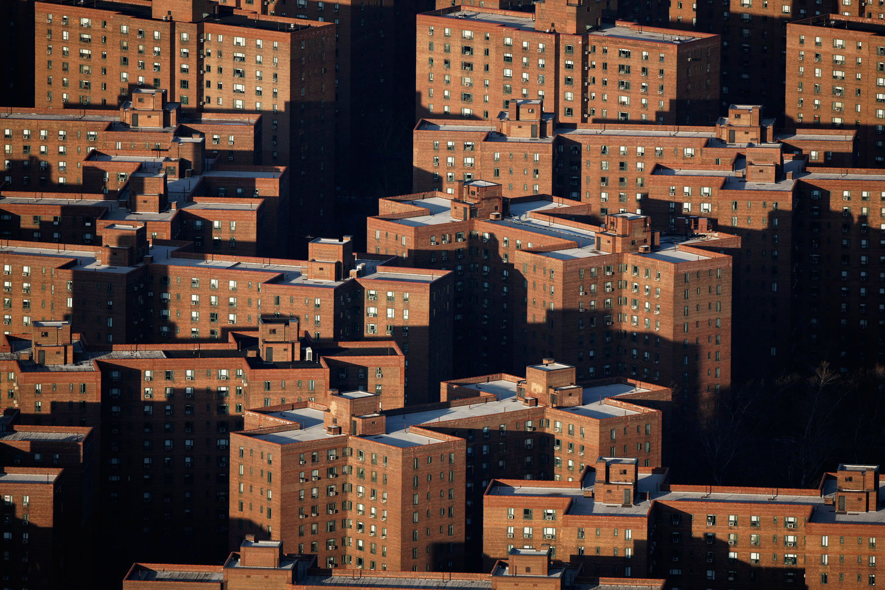
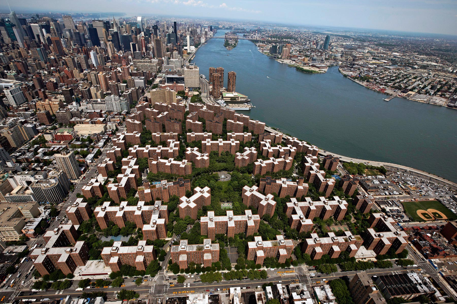
Peter Cooper Village and Stuyvesant Town, Manhattan, New York, United States (40°44’N, 73°59’W).
Peter Cooper Village and Stuyvesant Town, Manhattan, New York, United States (40°44’N, 73°59’W).
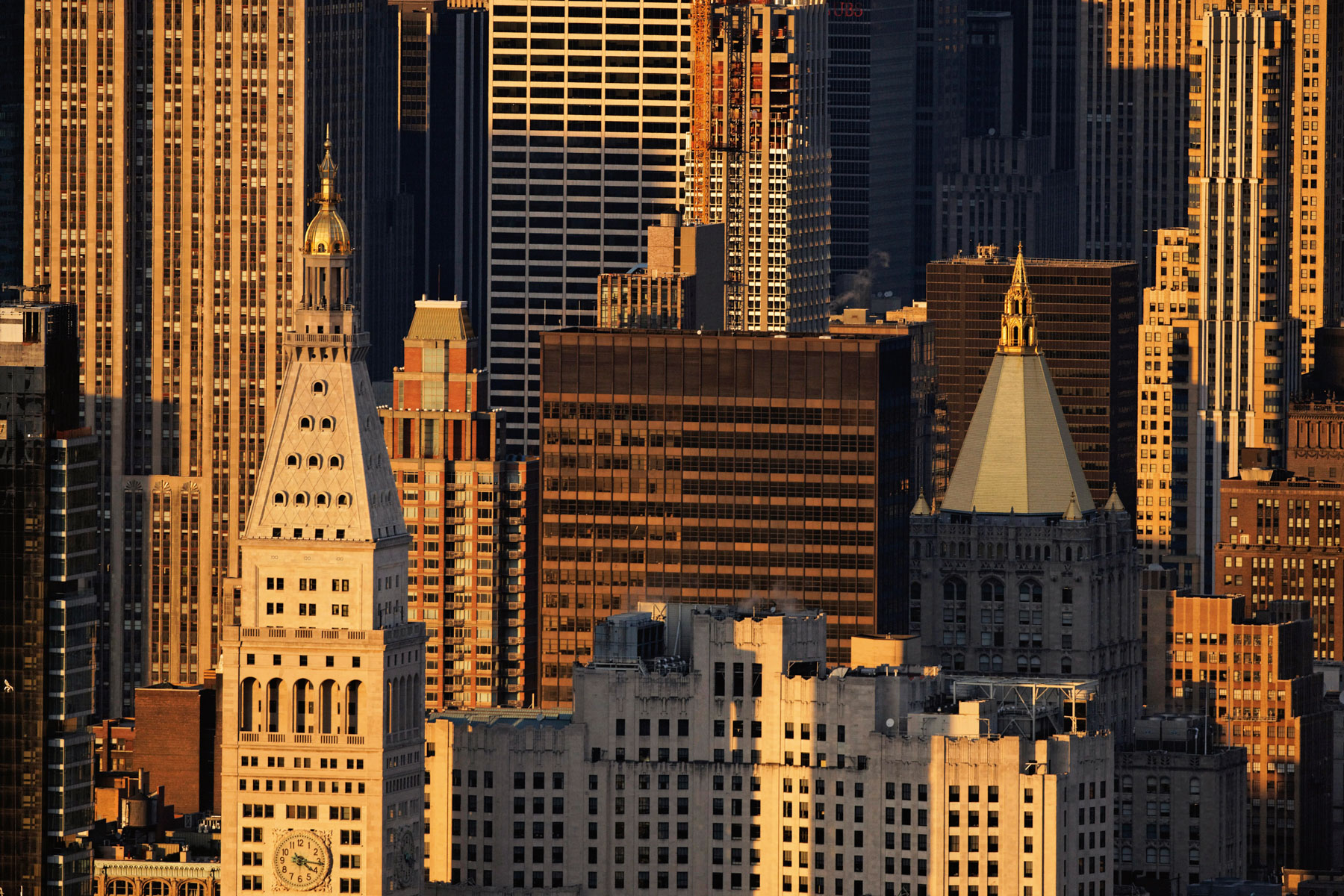
Metropolitan Life Tower, Midtown, Manhattan, New York, United States (40°44′28.46″N, 73°59′14.64″W).
New York Life Building, New York Life Insurance Company, Midtown South, Manhattan, New York, United States (40°44′34″N, 73°59′08″W).
One Madison Building, Flatiron District, Manhattan, New York, United States (40°44’ N - 73°59’ W).
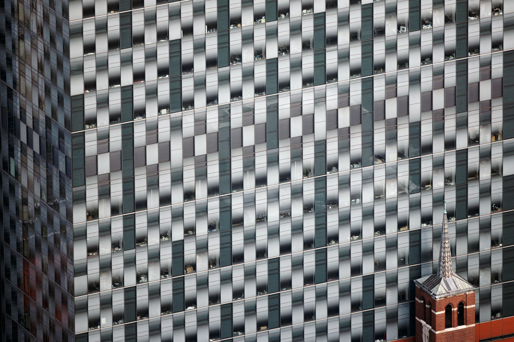
The facade of the Memorial Sloan Kettering Research Center by Skidmore Owing & Merrill and the bell tower of the Saint Catherine of Siena Church, Upper East Side, Manhattan, New York, United States (40°45'54.77" N, 73°57'24.58" W).
Flatiron Building former Fuller Building by Daniel Burnham, Midtown, Manhattan, New york (40°44′28″N, 73°59′23″W).
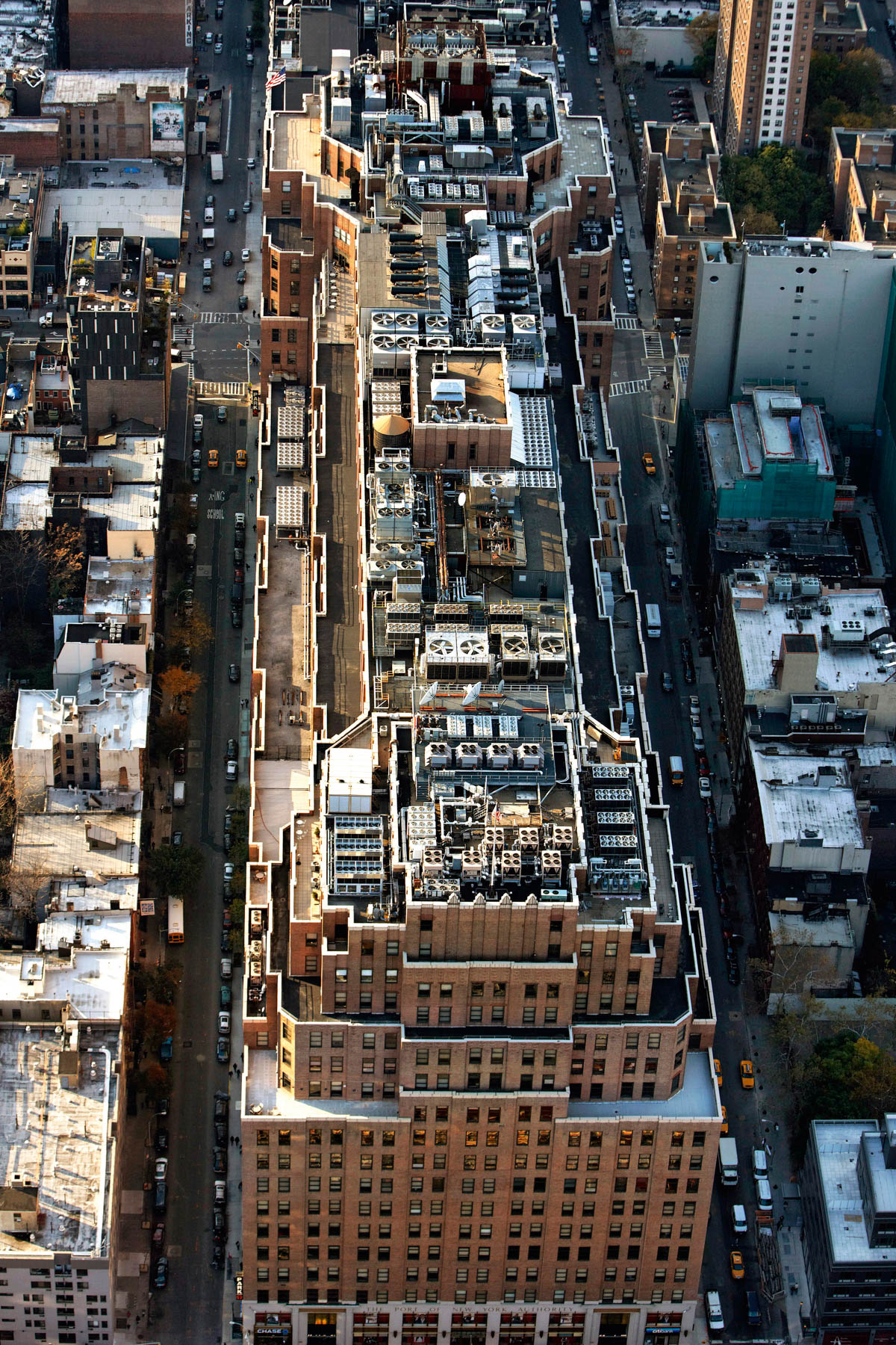
Port of New York Authority Building, 111 Eighth Avenue, Meatpacking District, Chelsea, Manhattan, New York (40°44′29″N, 74°0′11″W).
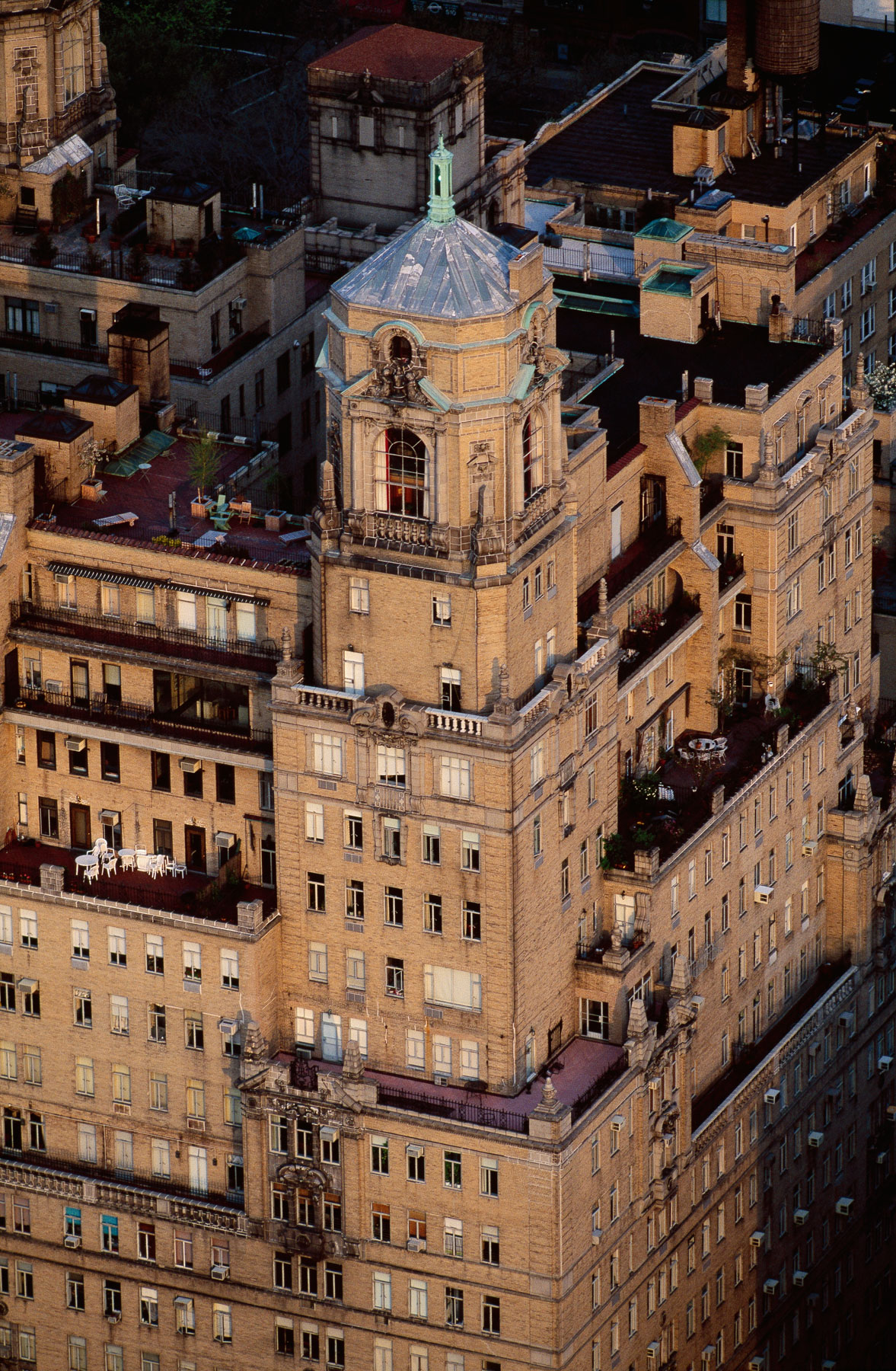
The Belvedere or Madison Belvedere Apartments, Midtown South, Manhattan, New York (40°44'41.24" N, 73°59'10.11" W).
CBS Building or Black Rock, Midtown, Manhattan, New York, United States (40°46’ N, 73°58’ W).
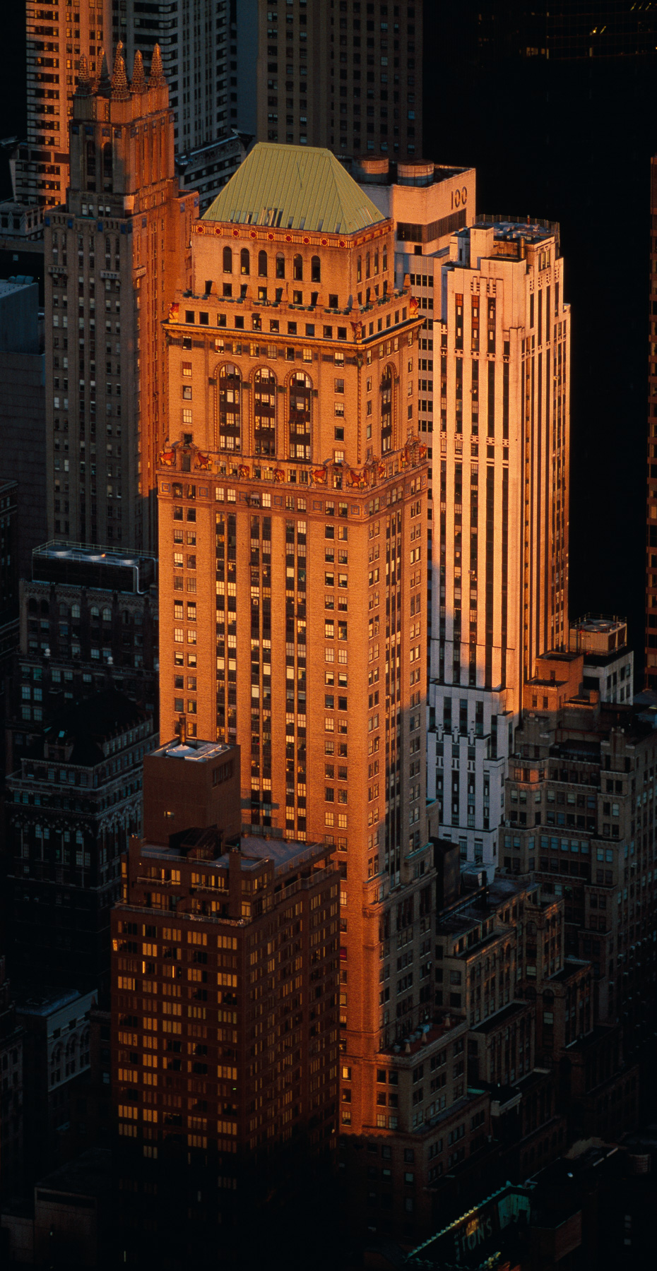
Victoria Building or Mercantile Building, 230 Fifth, Midtown South, Manhattan, New York (40°44'39.39" N, 73°59'18.49" W).
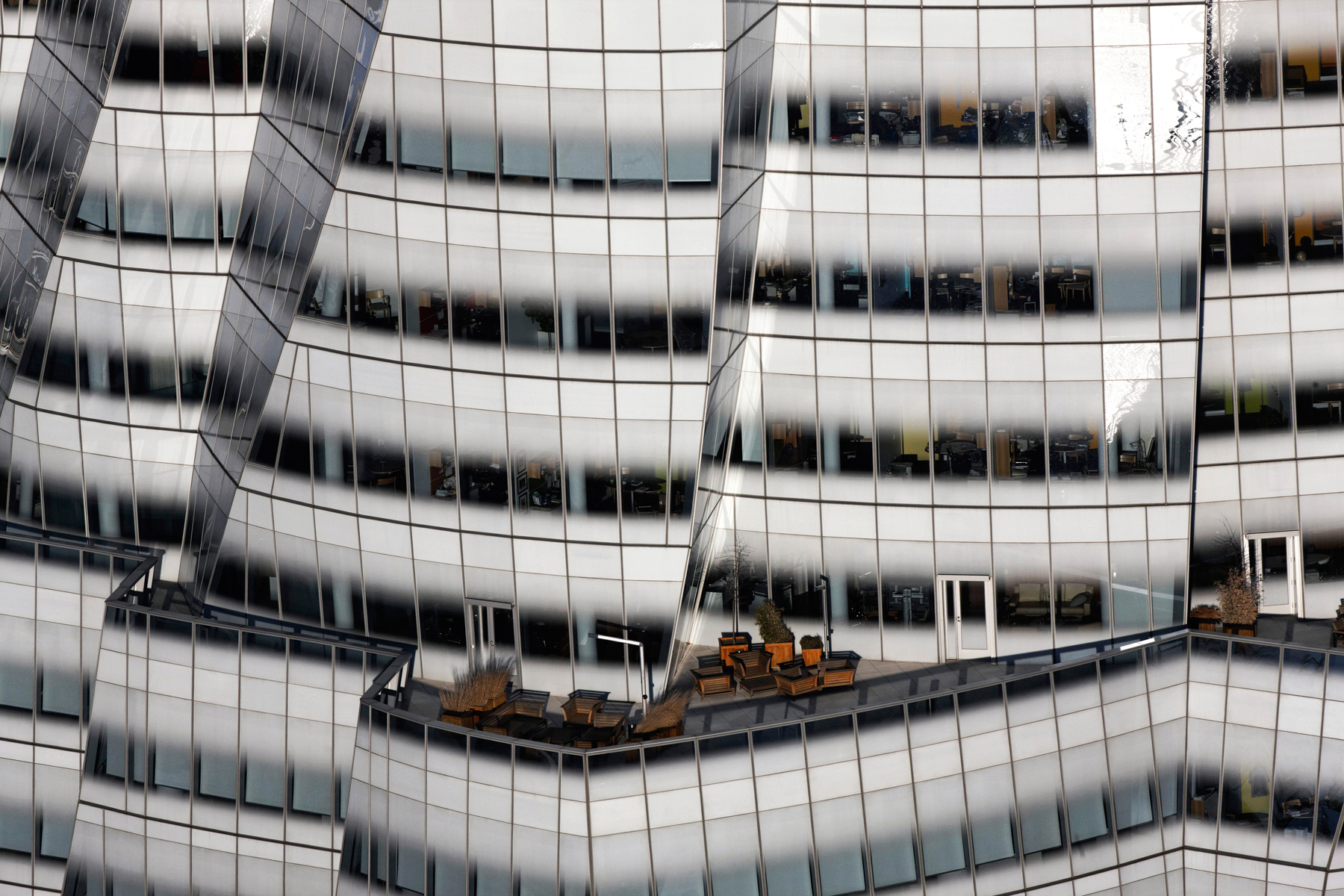
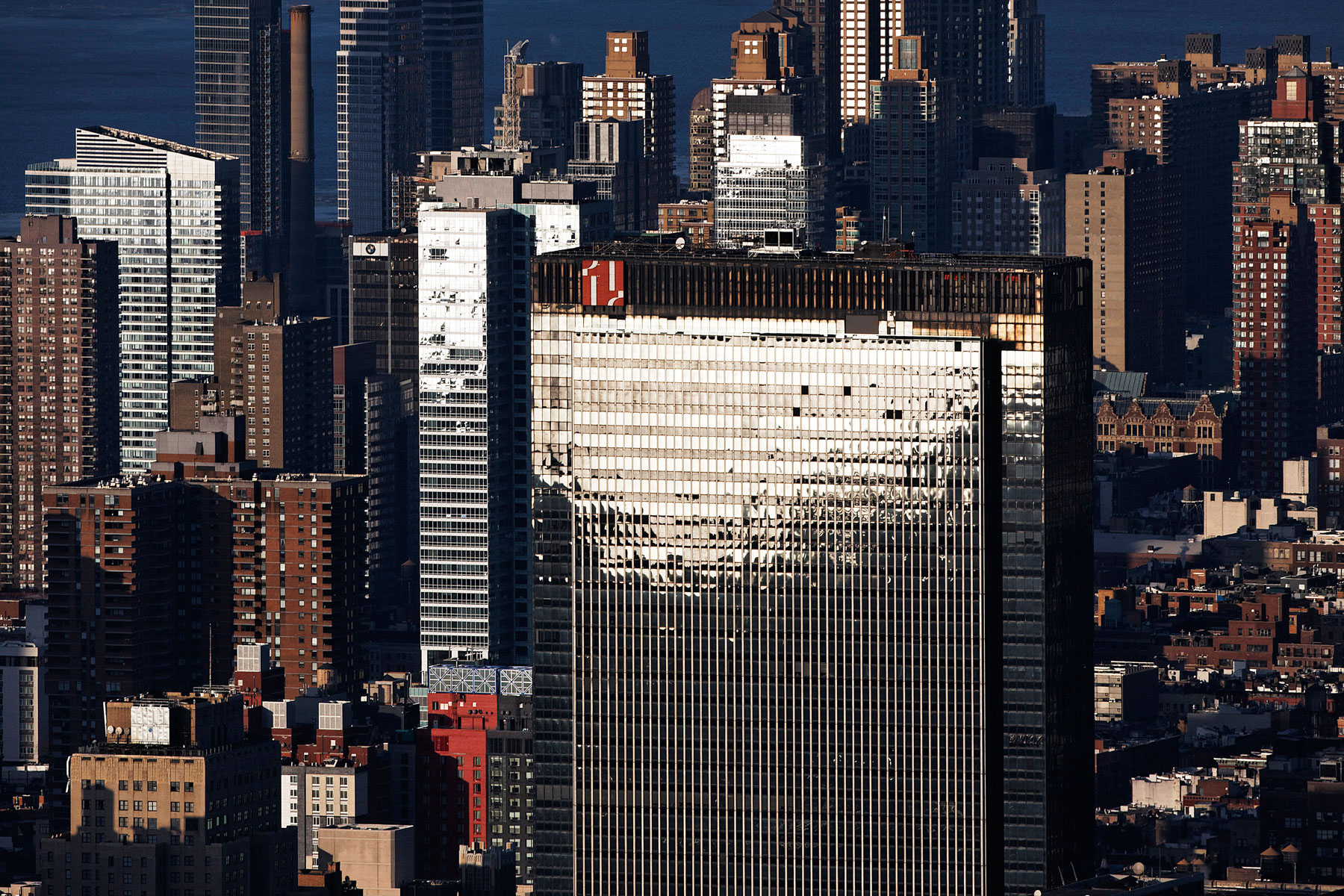
The IAC Building by Frank Gehry, Chelsea, Manhattan, New York (40°44′44″N, 74°00′28″W).
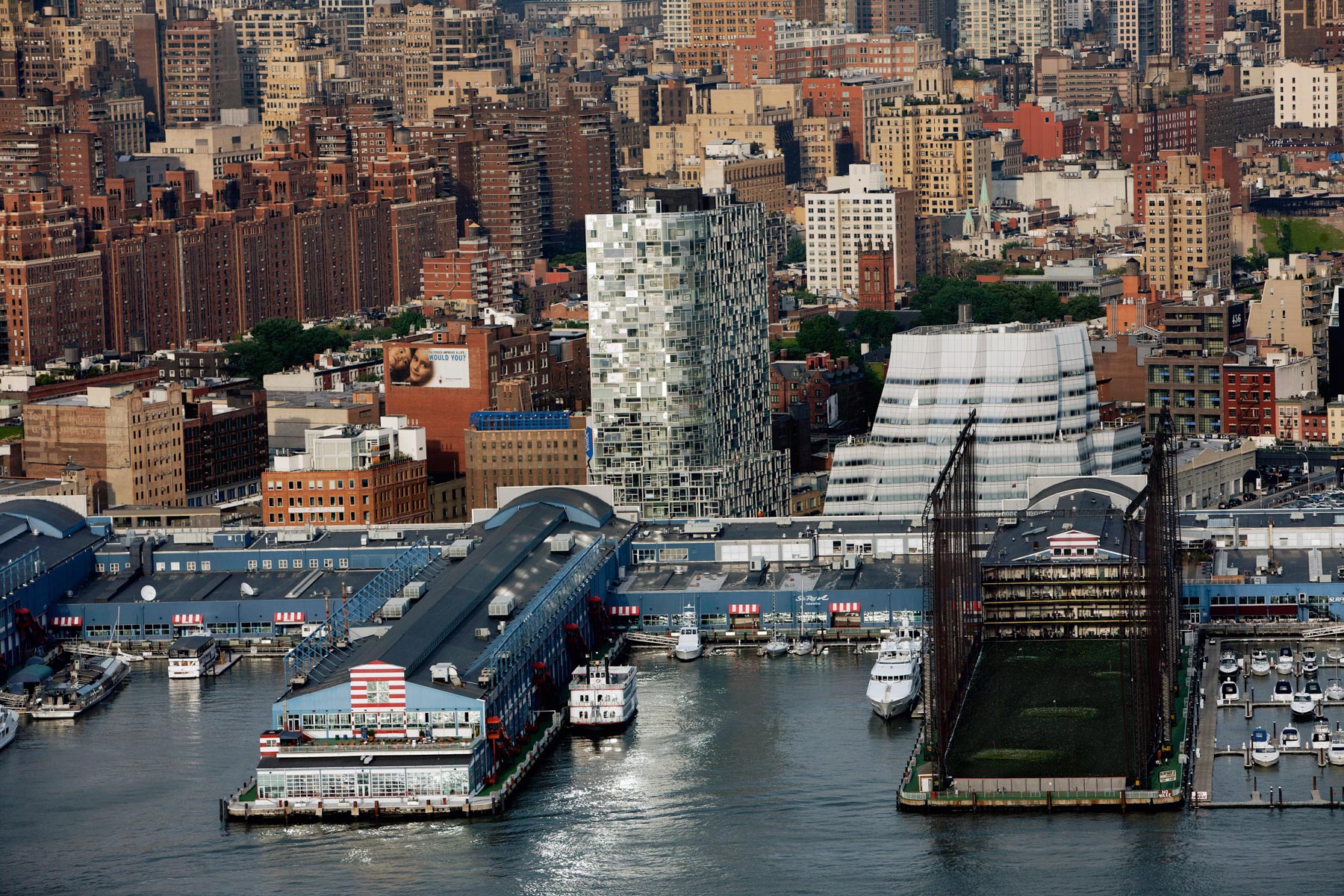
The IAC Building by Frank Gehry and the 100 Eleventh Avenue by Jean Nouvel, Chelsea, Manhattan, New York, United States (40°44′44″N, 74°00′28″W).
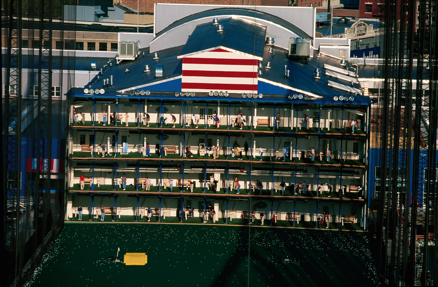
The Golf Driving Range at Chelsea Piers, New York, United States (40°43’ N, 74°01’ W).
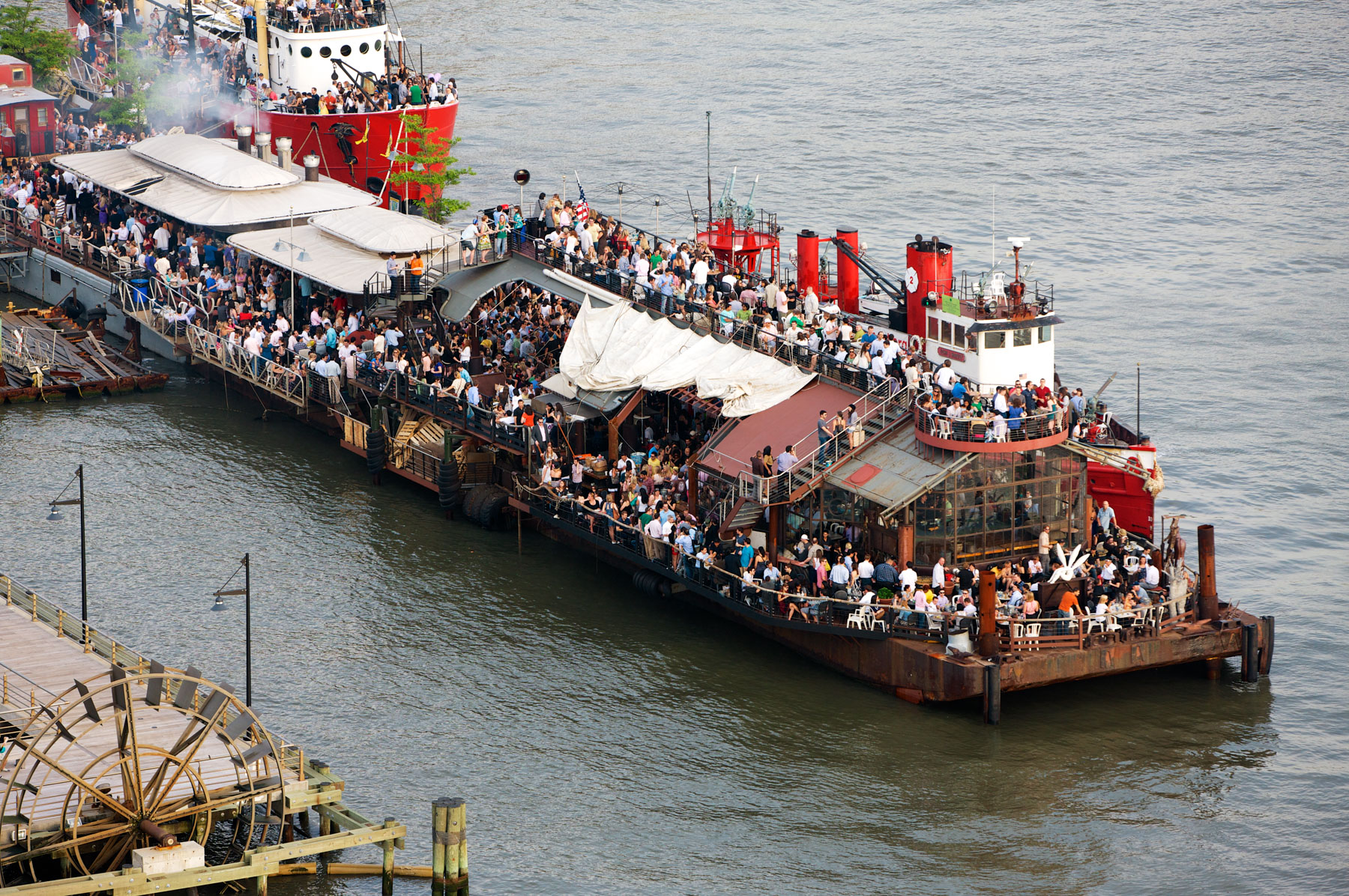
Pier 66, Chelsea, Manhattan, New York, United States (40°45’ N, 74°01’ W).
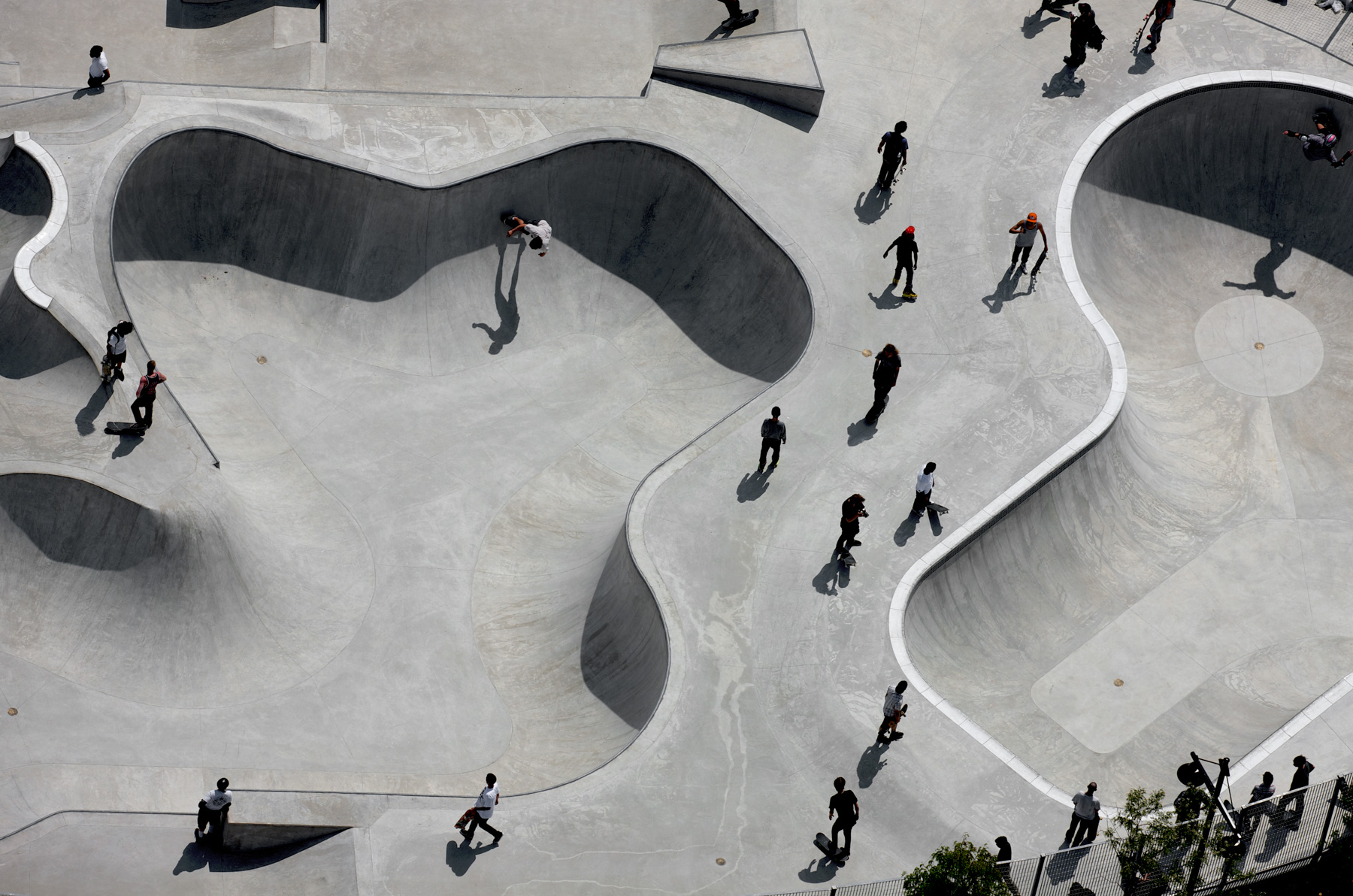
Hudson River Skate Park, Pier 62, Chelsea, Manhattan, New York, United States (40°44'55.34" N, 74° 0'33.91" W).
One Penn Plaza or the Silver City, Midtown, Manhattan, New York, United States (40°45′5″N, 73°59′35″W).
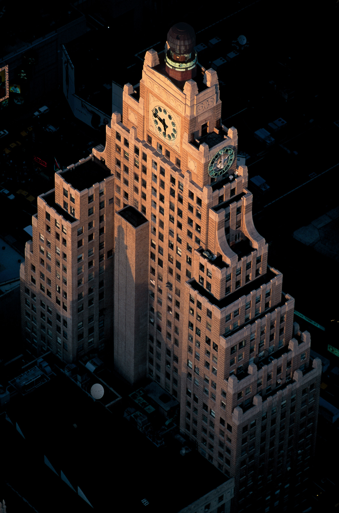
Paramount Building, 1501 Broadway, Midtown, Manhattan, New York, United States (40°45′26.28″N, 73°59′11.47″W).
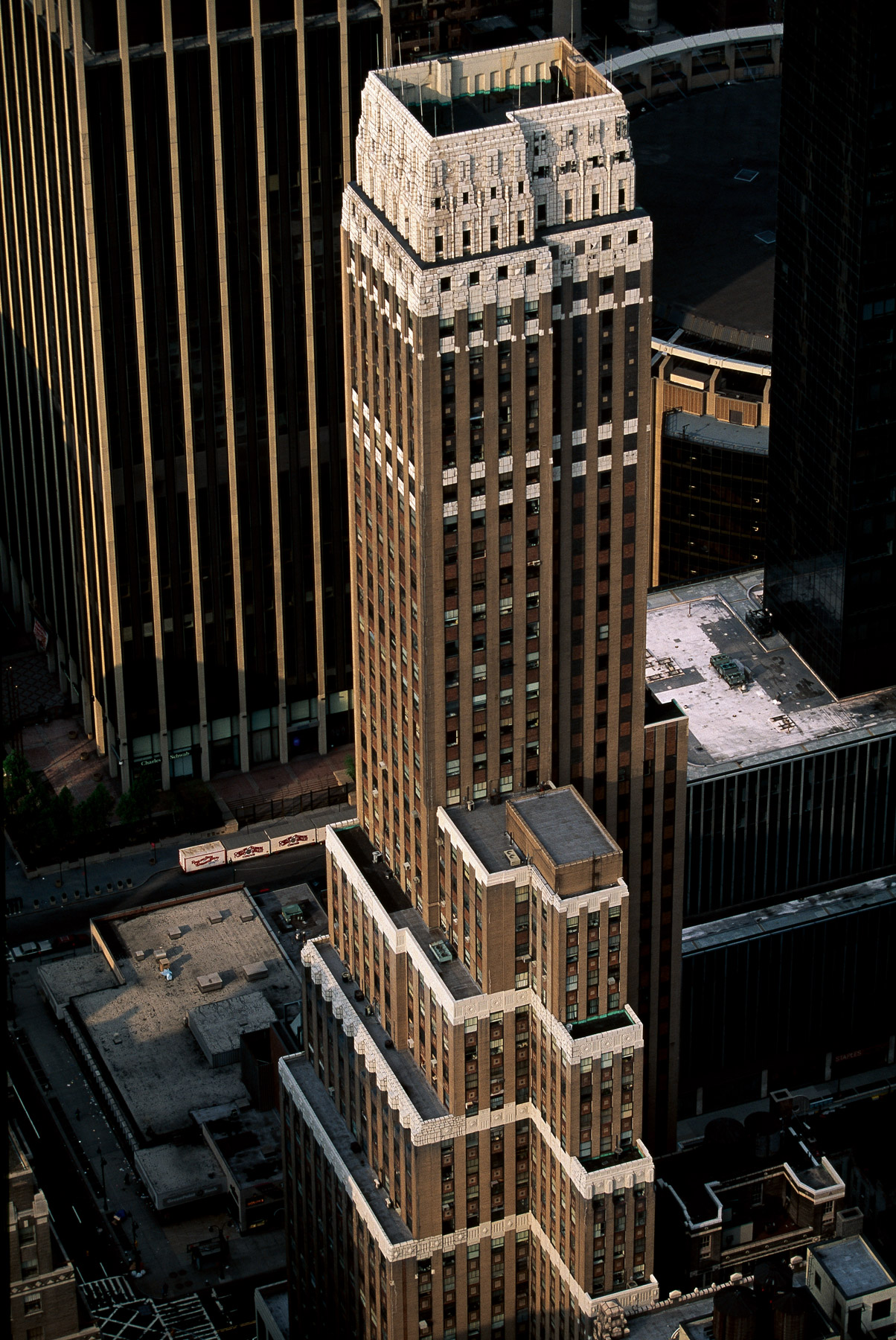
Nelson Tower, 450 Seventh Avenue, Midtown South, Manhattan, New York, United States (40°45'05"N, 73°59'27"W).
Pennsylvania Exchange Bank, 322 Eighth Avenue, Chelsea, Manhattan, New York, United States (40°44'50.10" N, 73°59'48.00" W).
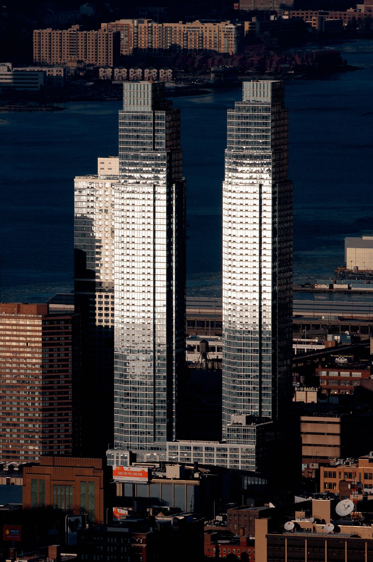
Silver Towers, Clinton, Manhattan, New York, United States (40°45'38.24" N, 73°59'57.21" W).
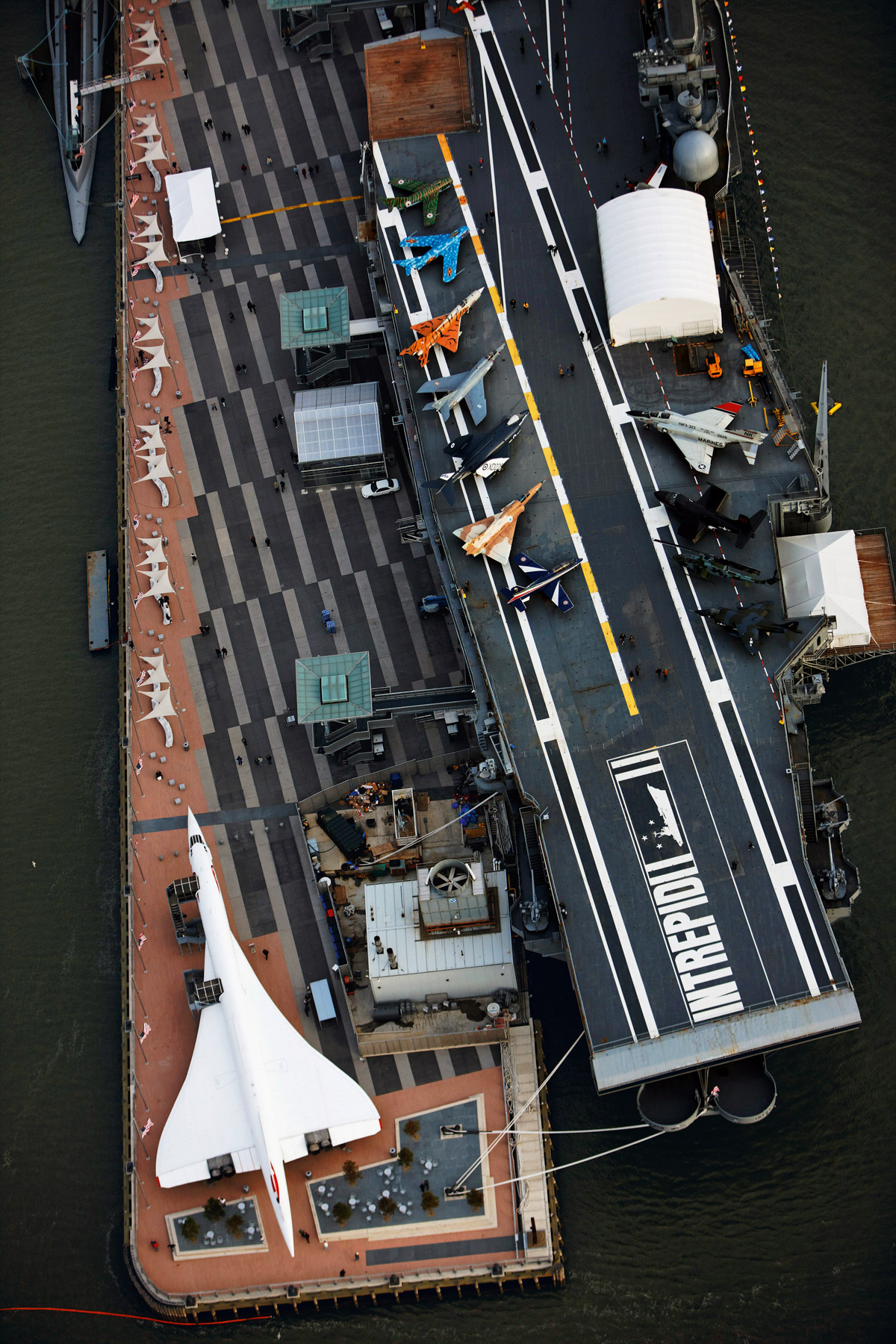
Intrepid Sea, Air and Space Museum, Pier 86, West Midtown, Manhattan, New York, United States (40°46' N, 74°00' W).
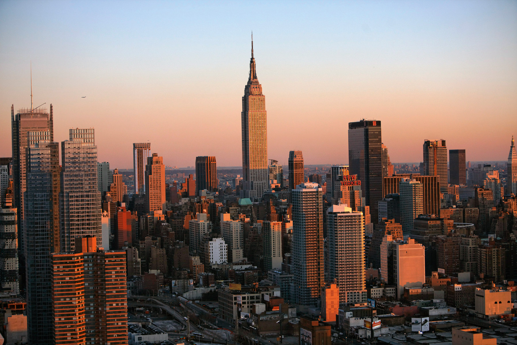
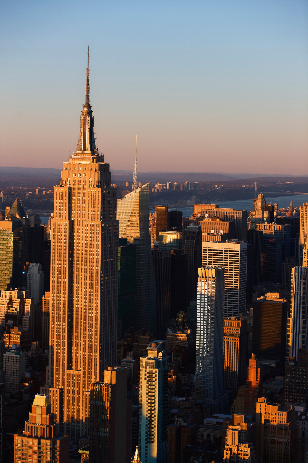
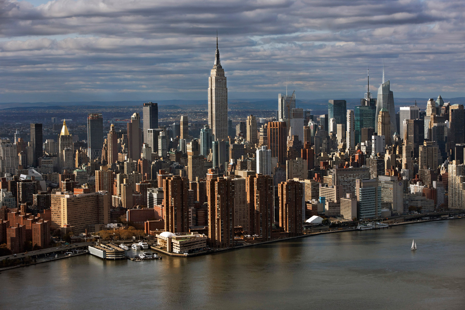
Empire State Building and Midtown, Midtown South, Manhattan, New York, United States (40°44′54.36″N, 73°59′08.36″W).
Empire State Building to the George Washington Bridge, Midtown South, Manhattan, New York, United States (40°44′54.36″N, 73°59′08.36″W).
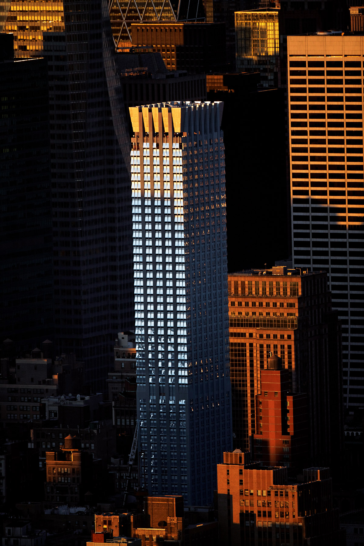
The 400 Fifth Avenue, Midtown South, Manhattan, New York, United States (40°45’ N, 73°59’ W).
Lefcourt Colonial Building, 295 Madison Avenue, Midtown, New York, United States (40°45′06″N, 73°58′45.7″W).
Mercantile Building, 10 East 40th Tower, Murray Hill, Manhattan, New York, United States (40°45′06″N, 73°58′53″W).
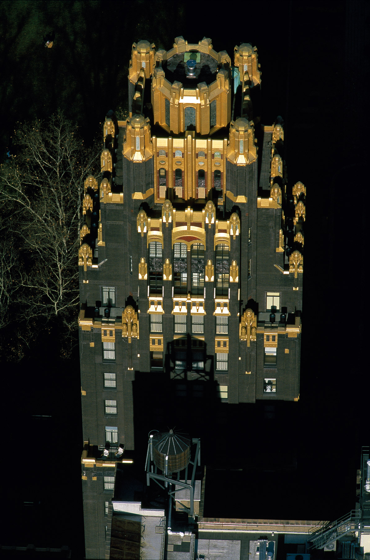
The Bryant Park Hotel, American Radiator Building, Midtown, Manhattan, New York, United States (40°45'10"N, 73°59'02"W).
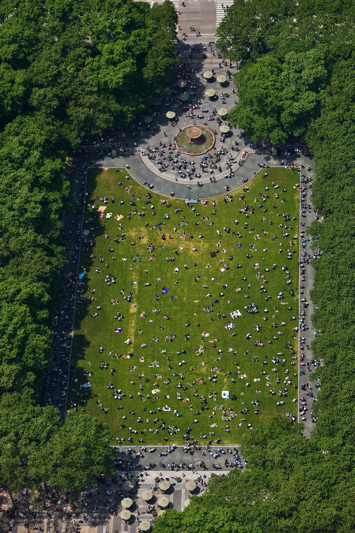
Bryant Park, Midtown, Manhattan, New York, United States (40°45’ N, 73°59’ W).
One Worldwide Plaza, Clinton, Manhattan, New York, United States (40°45'45"N, 73°59'16"W).
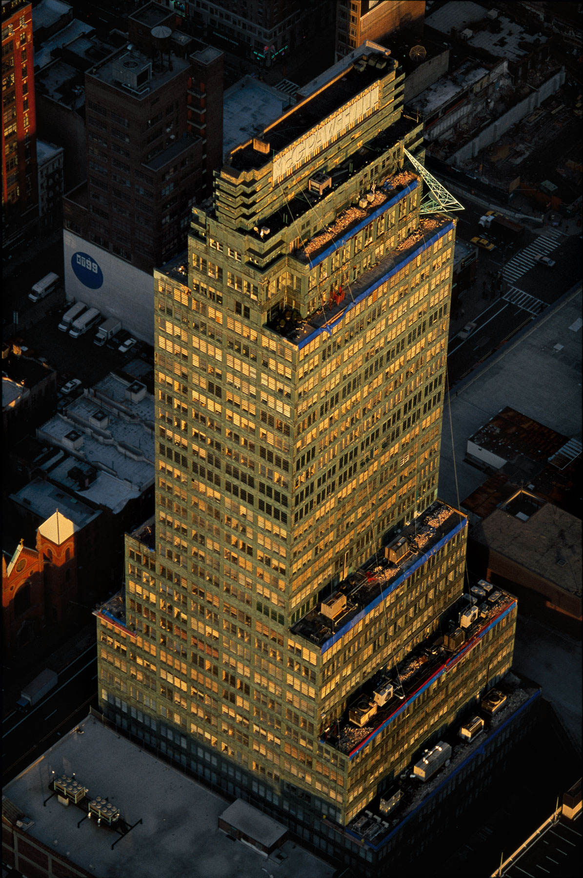
McGraw Hill Building, 330 West 42nd Street, Clinton, Manhattan, New York, United States (40°45′26.5″N, 73°59′30″W).
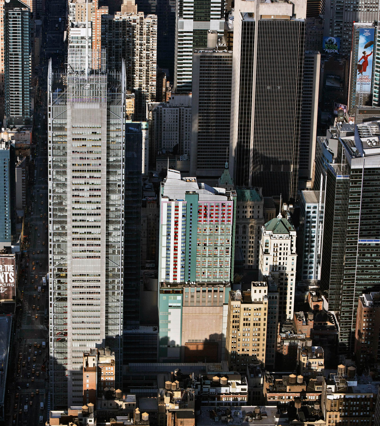
New York Times Tower by Renzo Piano, 620 Eighth Avenue, Midtown West, Manhattan, New York, United States (40°45′23″N, 73°59′24″W).
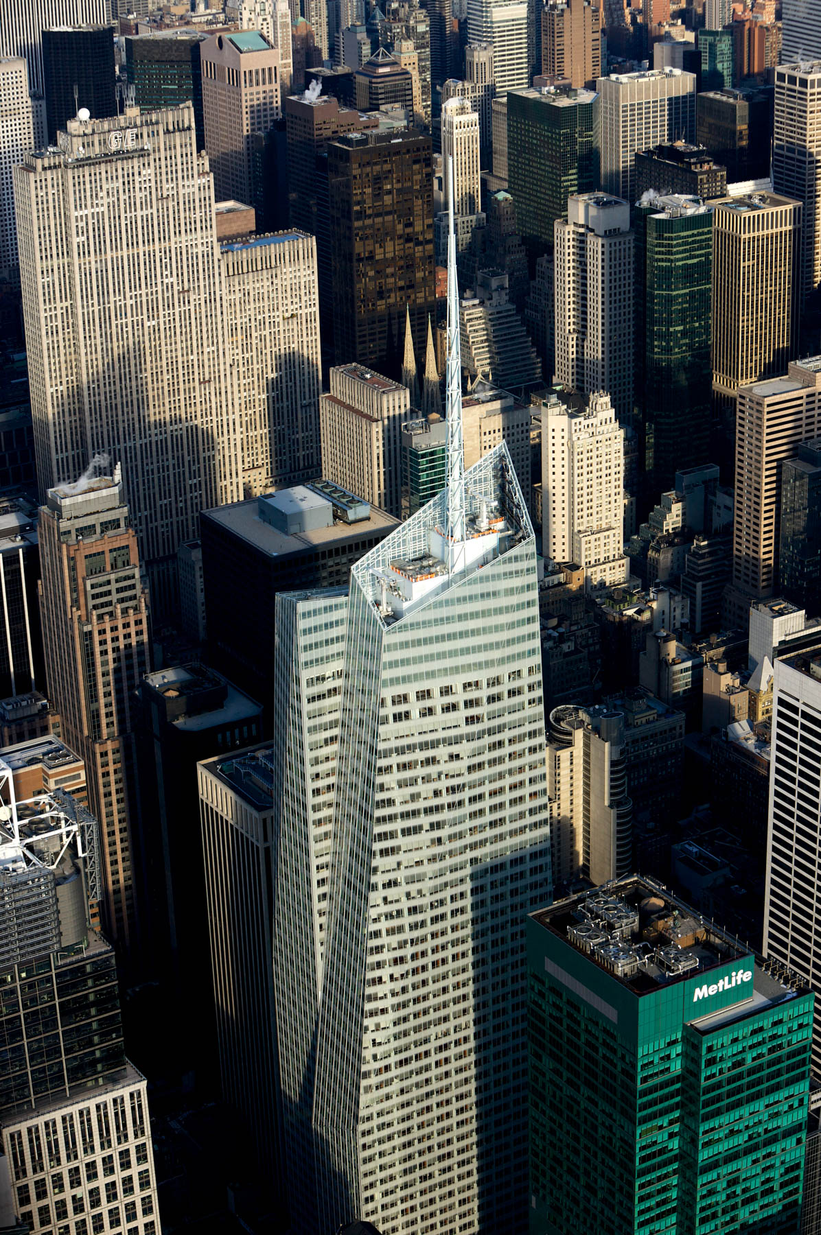
Bank of America Tower, One Bryant Park, Midtown, Manhattan, New York, United States (4°45'19"°N, 7°59'03"W).
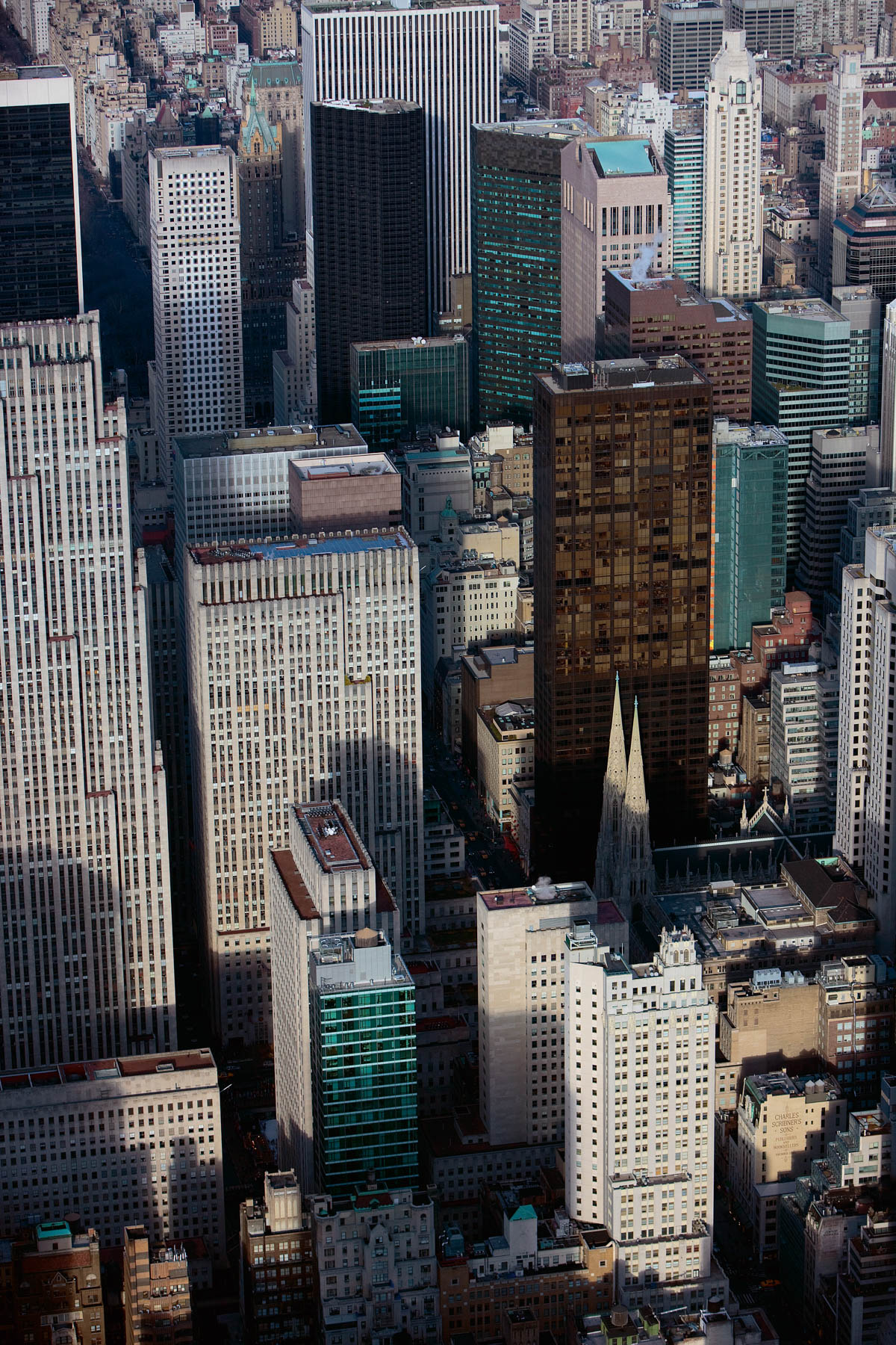
Midtown and Saint Patrick's Cathedral, from 47th Street and Fifth Avenue, Manhattan, New York, United States (40°45′31″N, 73°58′35″W).
E Walk Westin New York Hotel at Times Square, Midtown, Manhattan, New York, United States (40°45′24″N, 73°59′11″W).
E Walk Westin New York Hotel at Times Square, Midtown, Manhattan, New York, United States (40°45′24″N, 73°59′11″W).
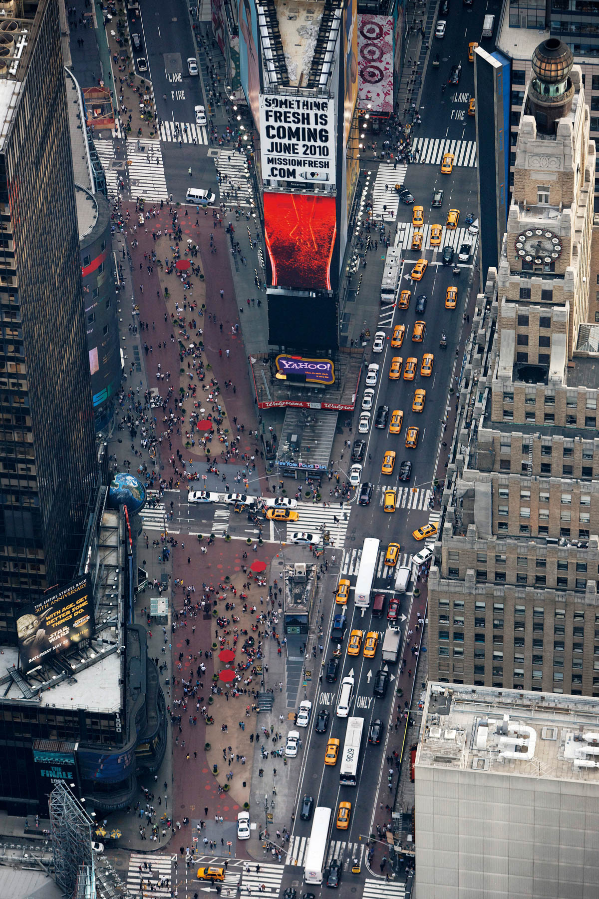
Times Square, Midtown, Manhattan, New York, United States (40°45′24″N, 73°59'11″W).
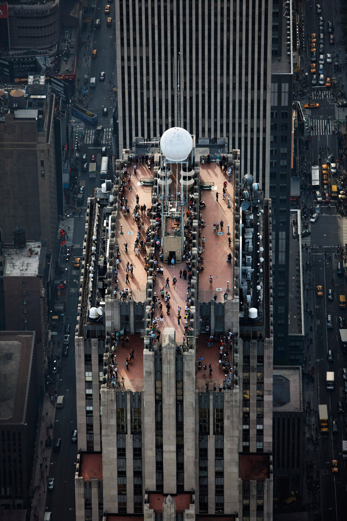
Obeservation Deck, GE Building, the RCA Building, 30 RockefellerPlaza, Midtown, Manhattan, New York, United States(40°45′31″N, 73°58′45″W).
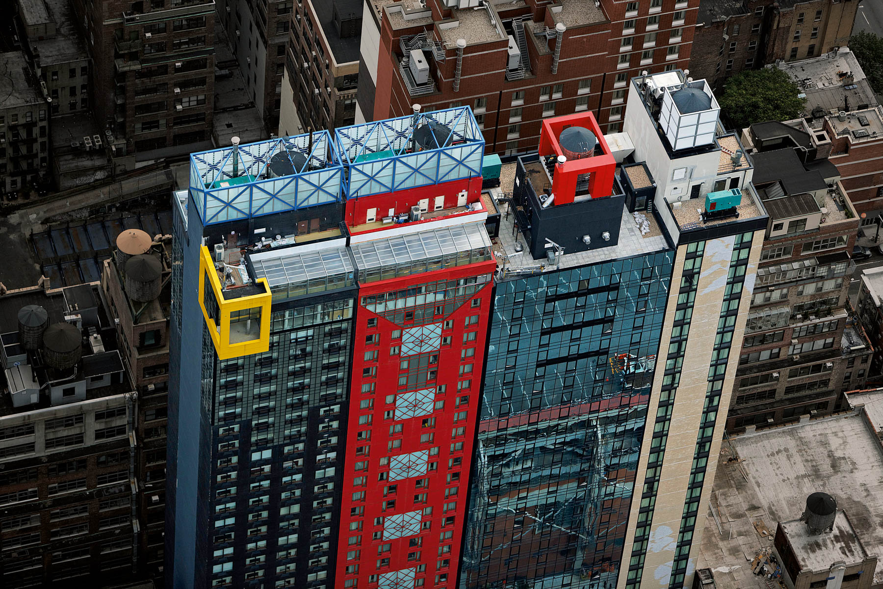
New Hotel Row: Sheraton, Marriott, Staybridge Suites and Distrikt Hotel, Times Square, Clinton, Manhattan, New York, United States (40°45’ N, 73°60’ W).
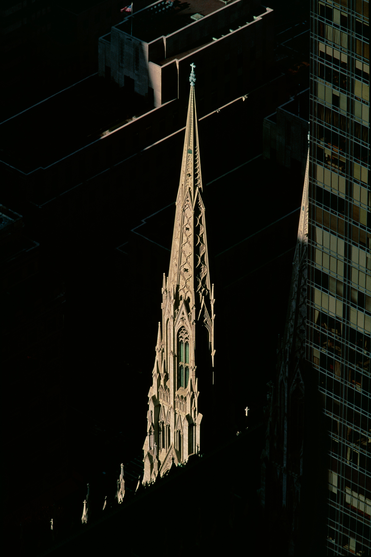
Saint Patrick's Cathedral, Manhattan, Fifth Avenue, New York, United States (40°45′31″N, 73°58′35″W).
Waldorf Astoria Hotel, 301 Park Avenue, Midtown, Manhattan, New York, United States (40°45′23″N, 73°58′27″W).
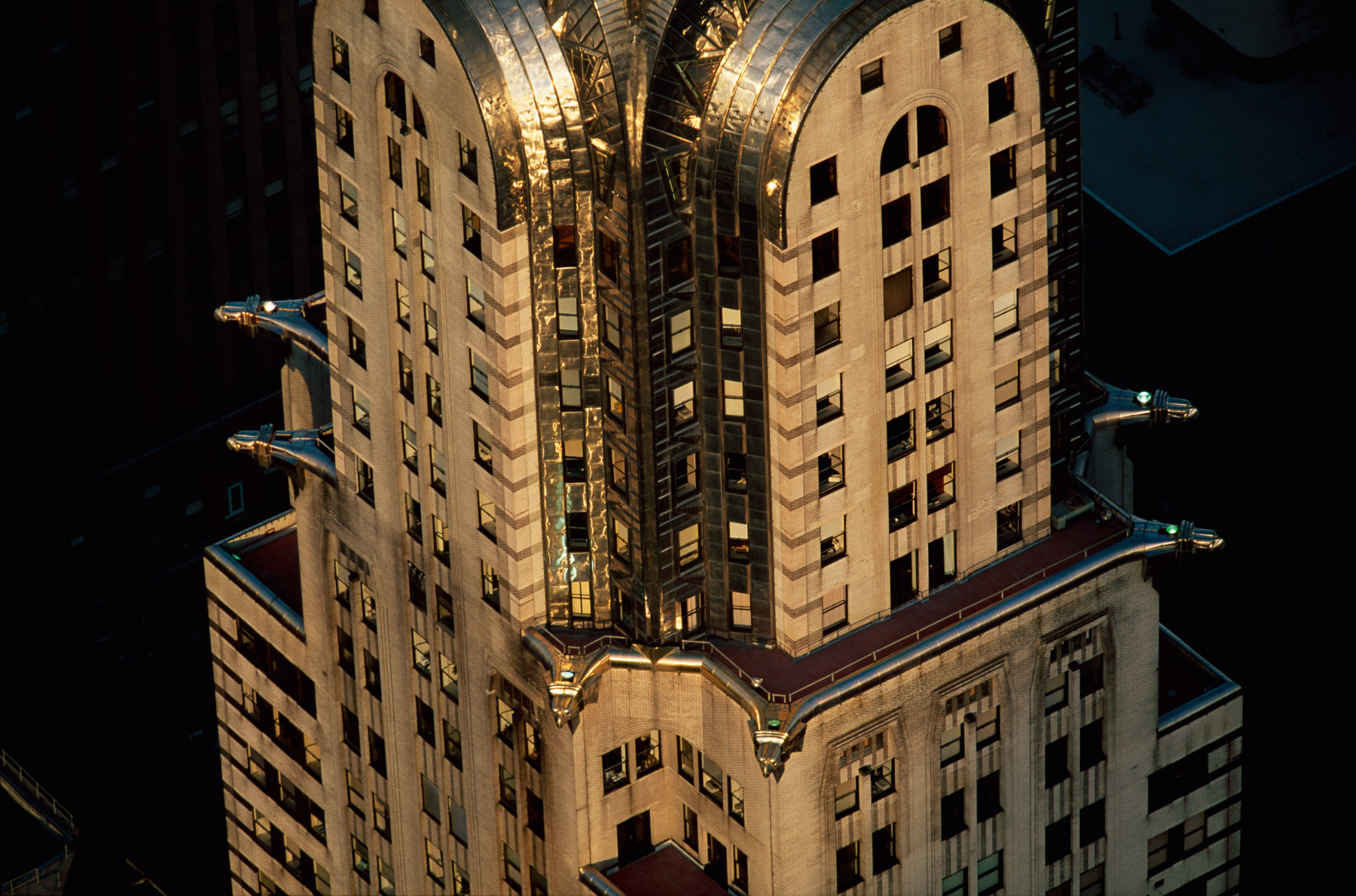
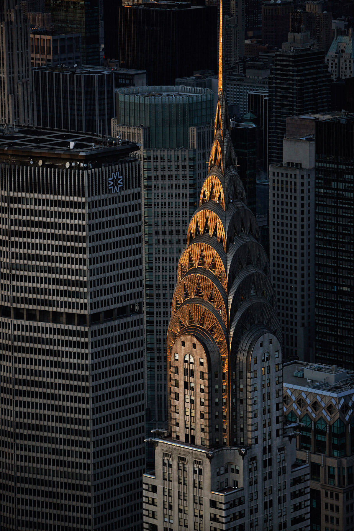
Chrysler Building, 405 Lexington Avenue, Midtown, Manhattan, New York, United States (40°45'6.12"N, 73°58'31.06"W).
Chrysler Building, 405 Lexington Avenue, Midtown, Manhattan, New York, United States (40°45'6.12"N, 73°58'31.06"W).
Empire States Building and Midtown East, Manhattan, New York, United States (40°44'54.39" N, 73°59'8.39" W).
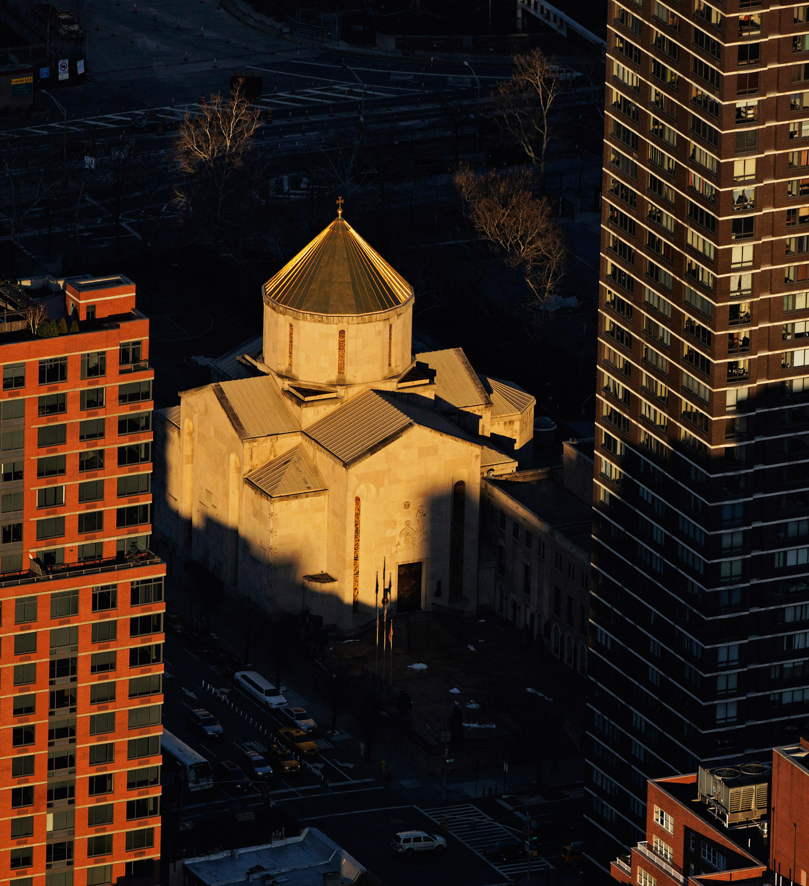
Saint Vartan Cathedral, 630 Second Avenue, Kips Bay, Manhattan, New York (40°45’ N, 73°59’ W).
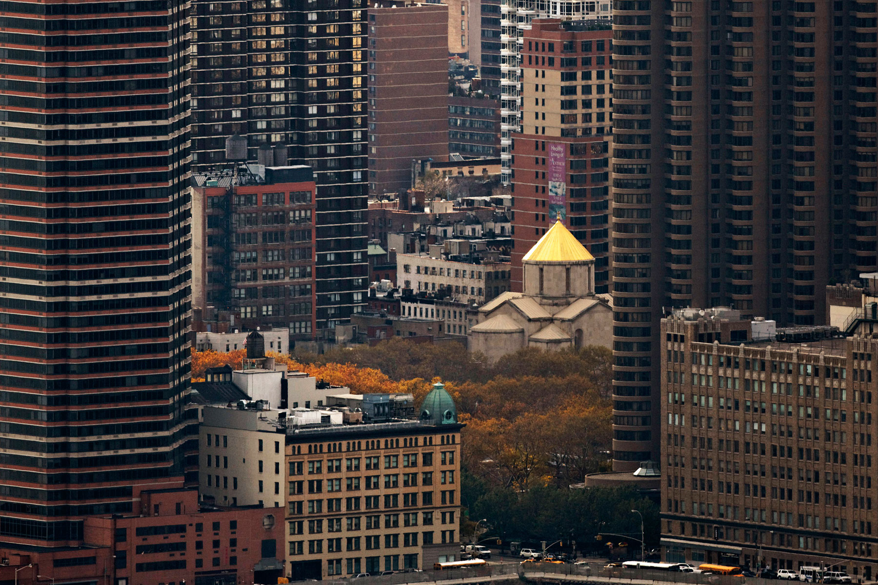
View from 30th to 40th Street East and Saint Vartan Cathedral, Kips Bay, Manhattan, New York, United States (40°45’ N, 73°59’ W).
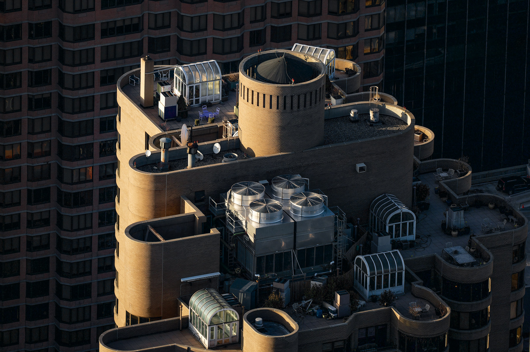
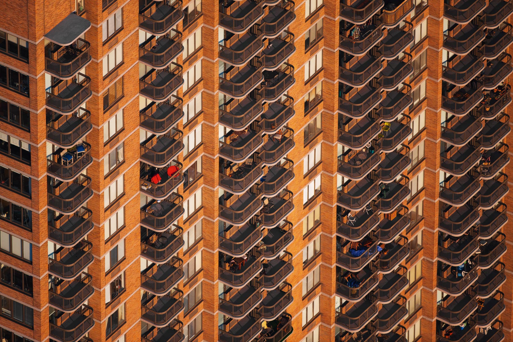
Corinthian Apartments, Kips Bay, Manhattan, New York, United States (40°44′47″N, 73°58′21″W).
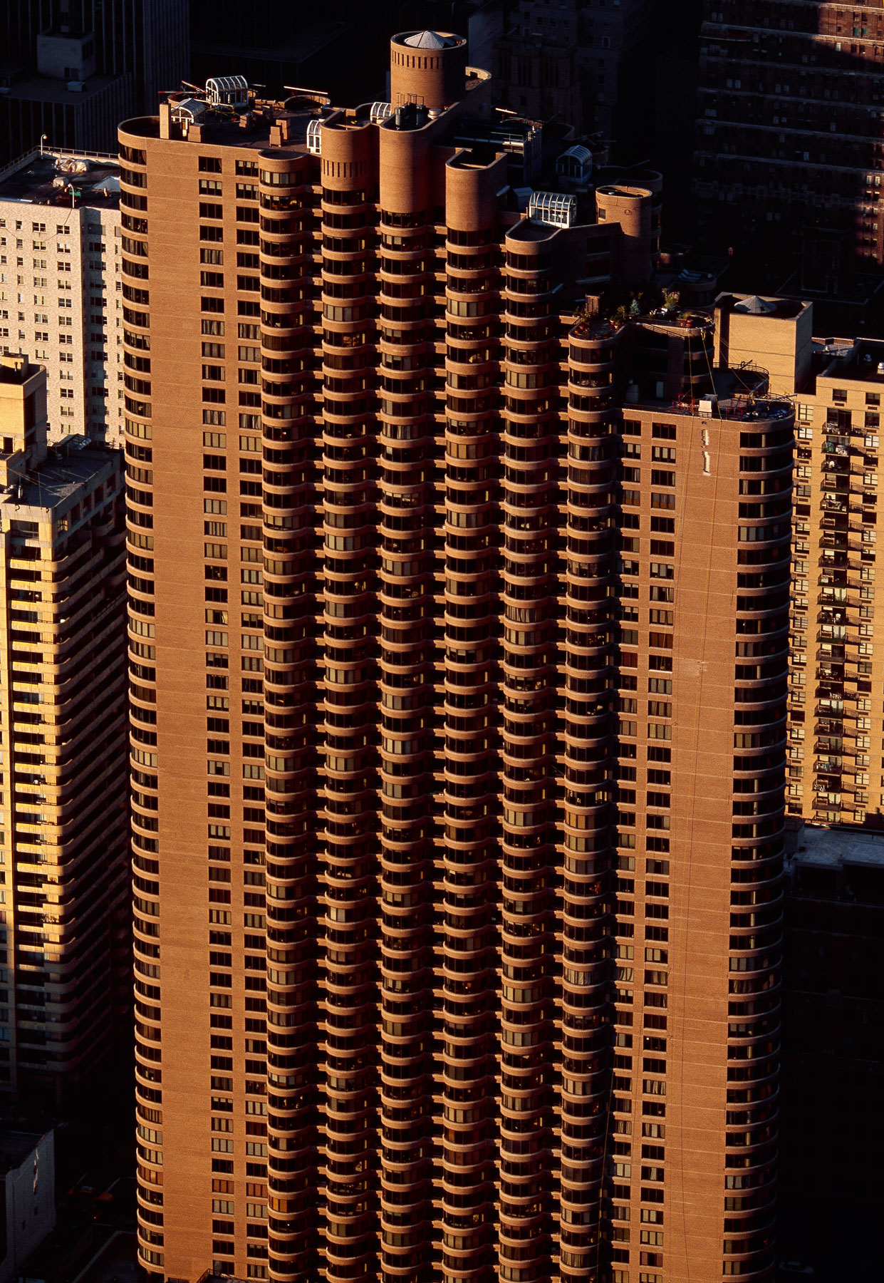
Corinthian Apartments, Kips Bay, Manhattan, New York, United States (40°44′47″N, 73°58′21″W).
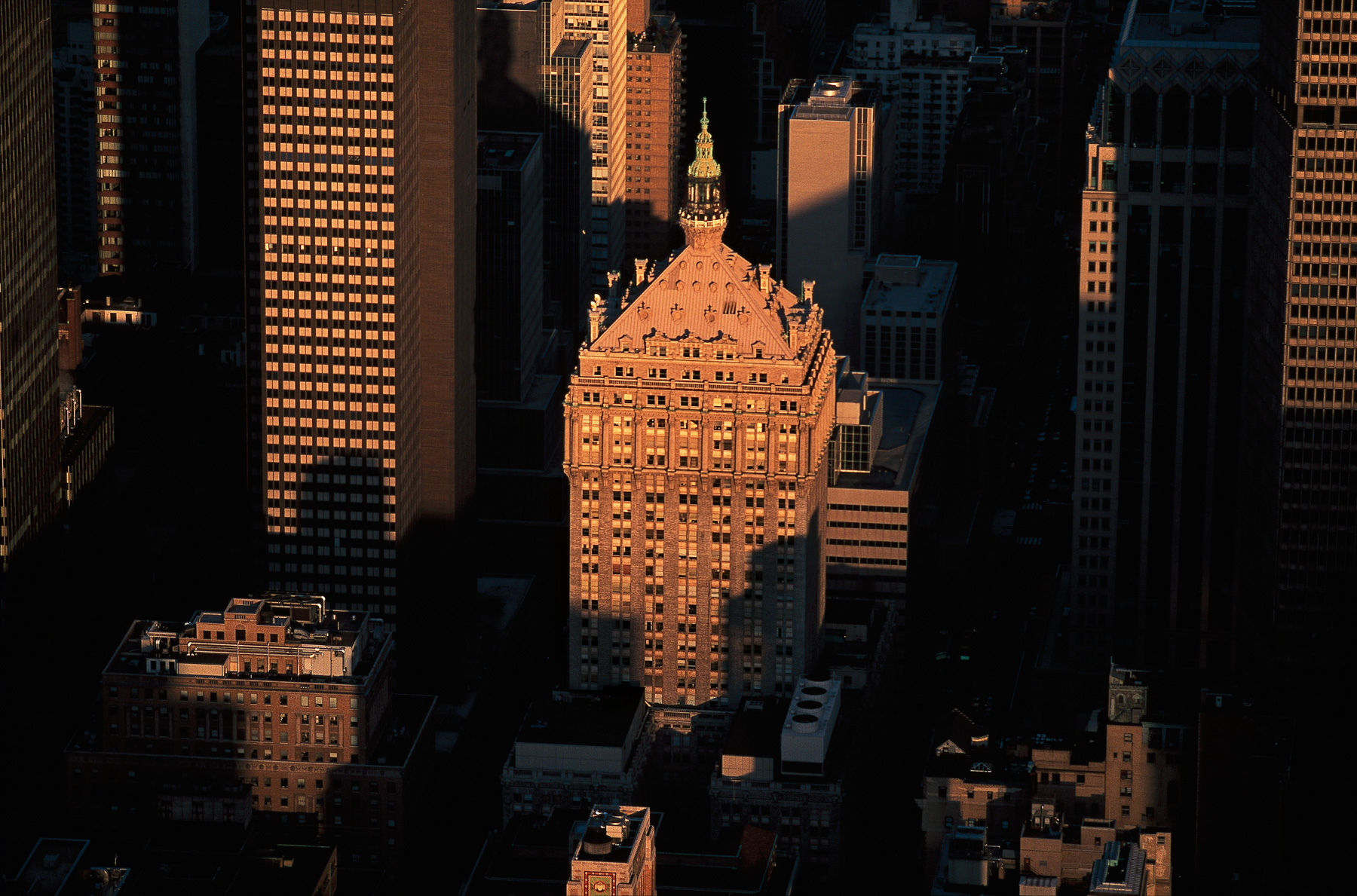
Helmsley building, 230 Park Avenue, Midtown, Manhattan, New York, United States (40°45'16"N, 73°58'33"W).
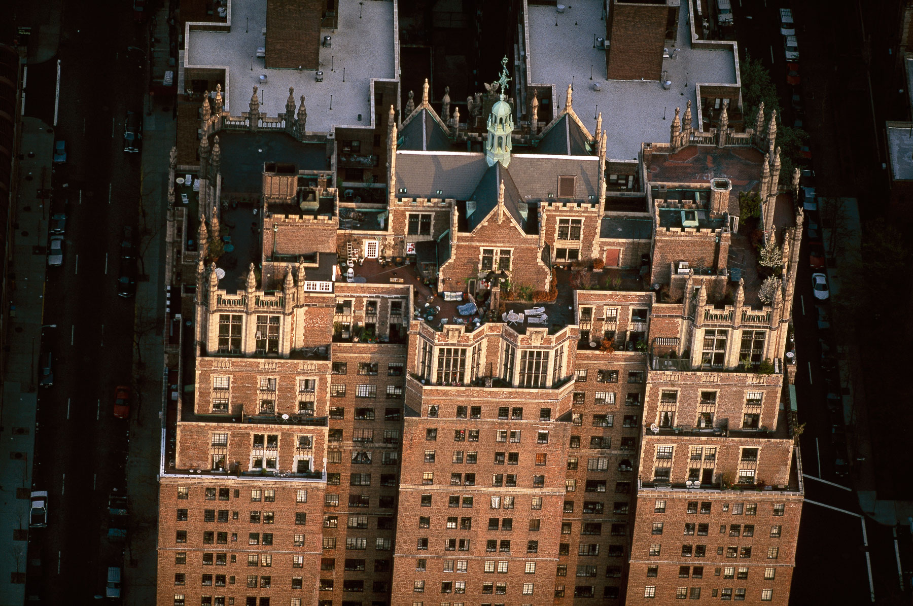
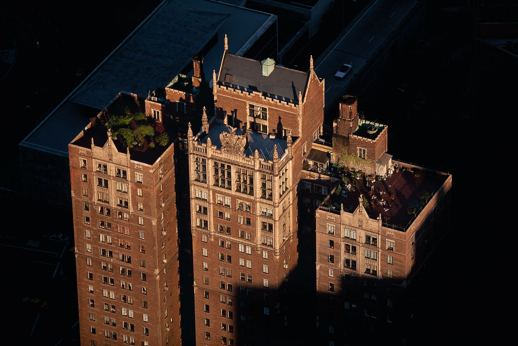
Tudor City, 5 Tudor City Place, Manhattan, New York, United States (40°44'583N, 73°58'11.5"W).
Tudor City, 5 Tudor City Place, Manhattan, New York, United States (40°44'583N, 73°58'11.5"W).
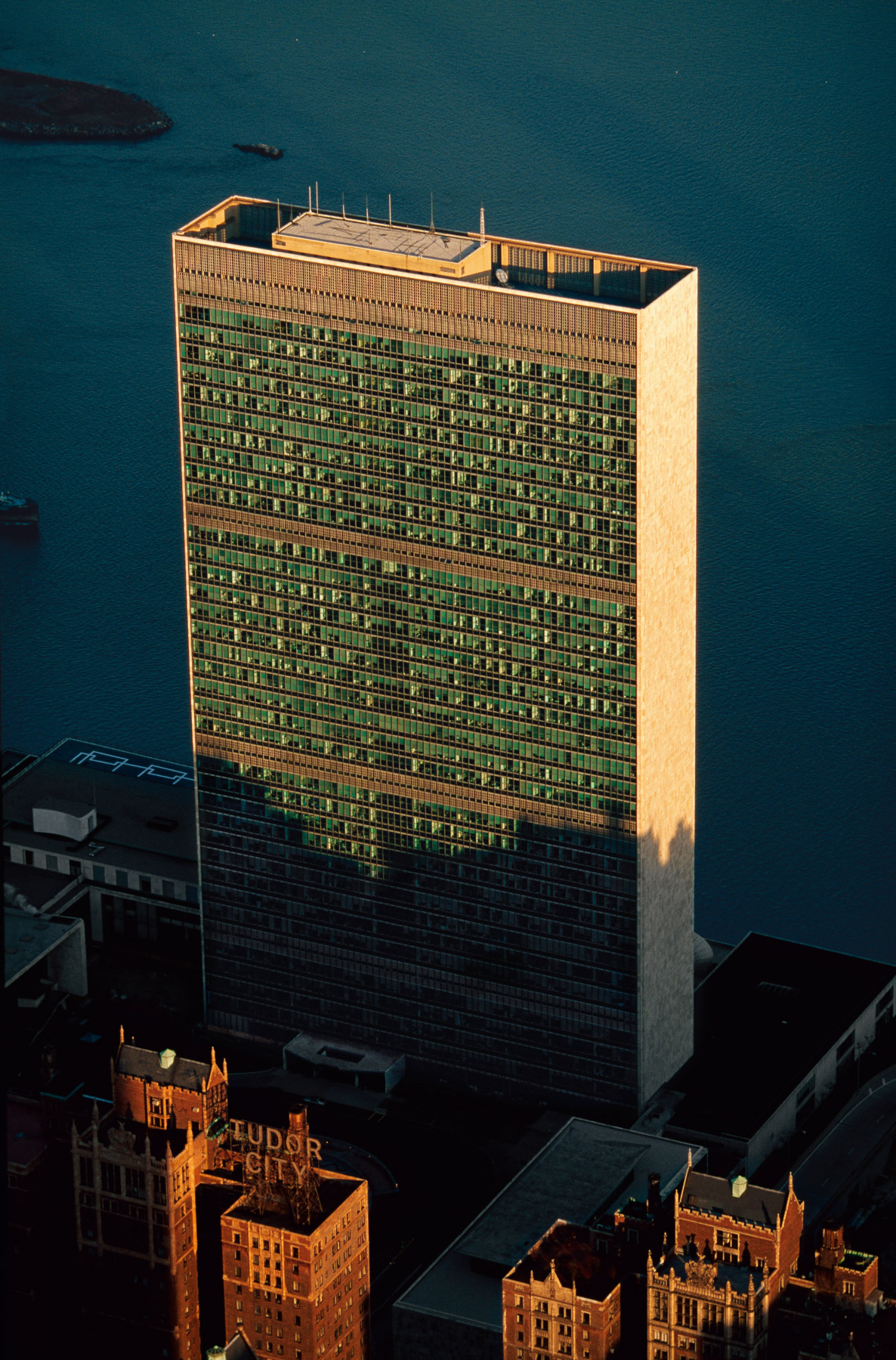
United Nations Secretariat, Turtle Bay, Manhattan, New York, United States (40°44'58"N, 73°58'53W).
River House Apartments, Turtle Bay, Manhattan, New York, United States (40°45’ N, 73°58’ W).
Tower 570, 570 Lexington Avenue, Midtown, Manhattan, New York, United States (40°45’N, 73°58’ W).
Top of the Tower 570, 570 Lexington Avenue, Midtown, Manhattan, New York, United States (40°45’N, 73°58’ W).
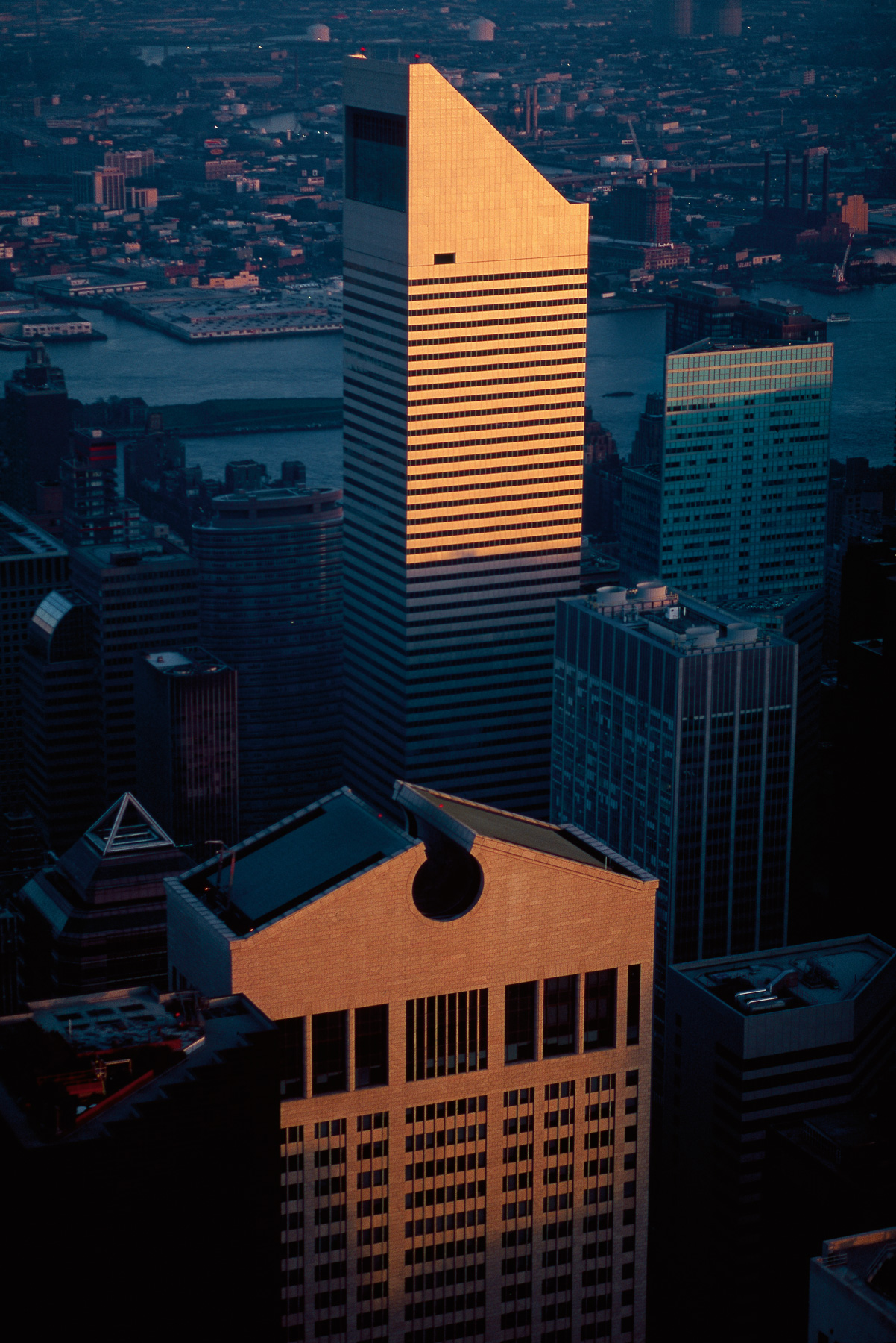
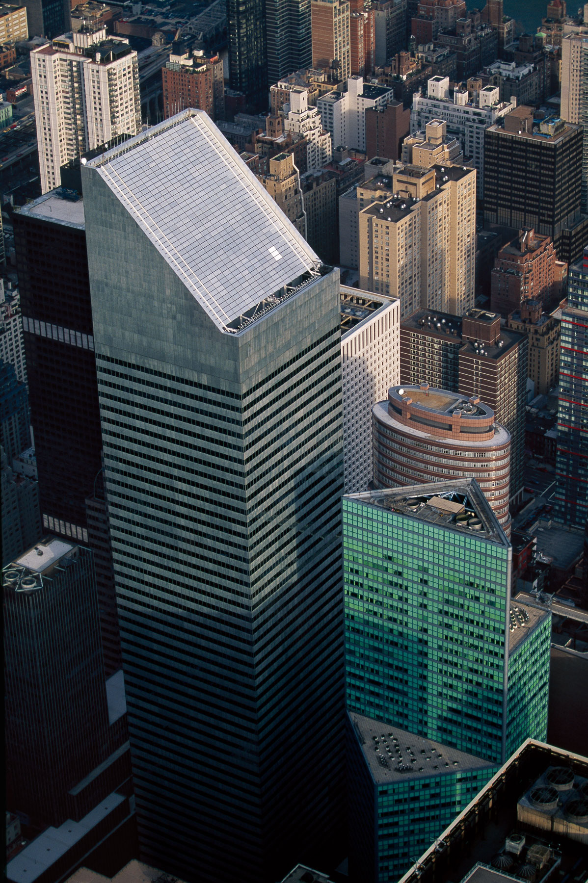
Citigroup Center and Sony Tower, former AT&T Building, Manhattan, New York, United States (40°45′41″N, 73°58′24″W).
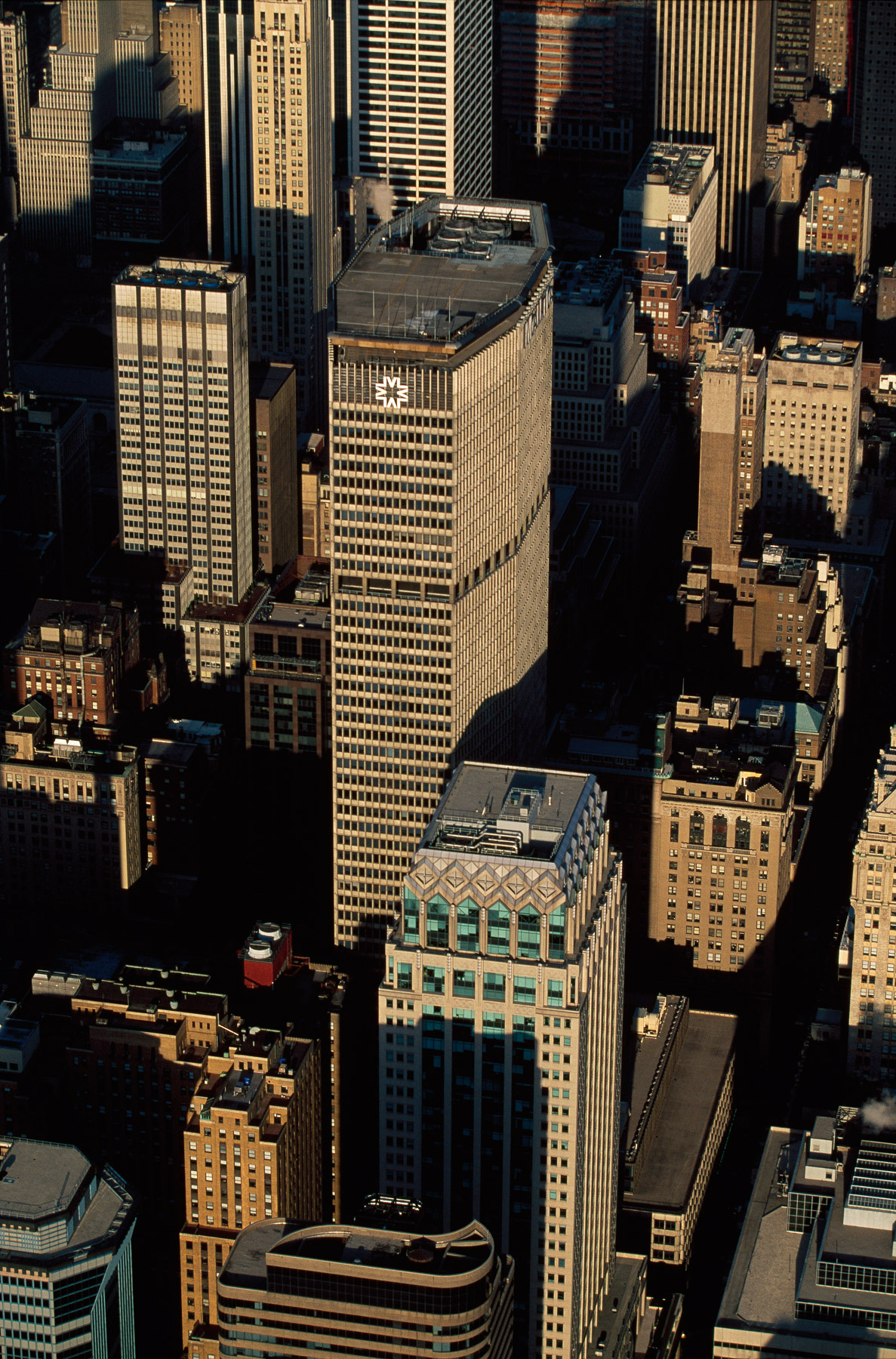
The MetLife Building, 200 Park Avenue, Midtown, New York, United States (40°45′12″N, 73°58′36″W).
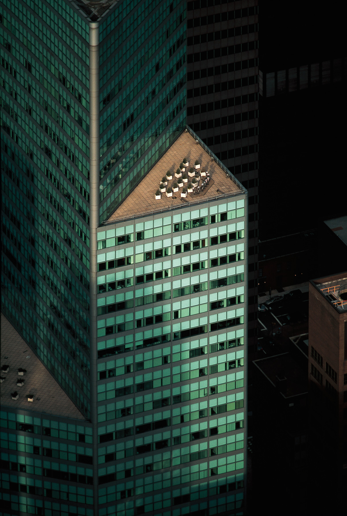
The Citigroup Center, the 599 Lexington Avenue and the 53rd at Third, Manhattan, New York, United States (40°45'29"N, 73°58'14"W).
The 599 Lexington Avenue, Turtle Bay, Manhattan, New York, United States (40°45'28"N, 73°58"15"W).
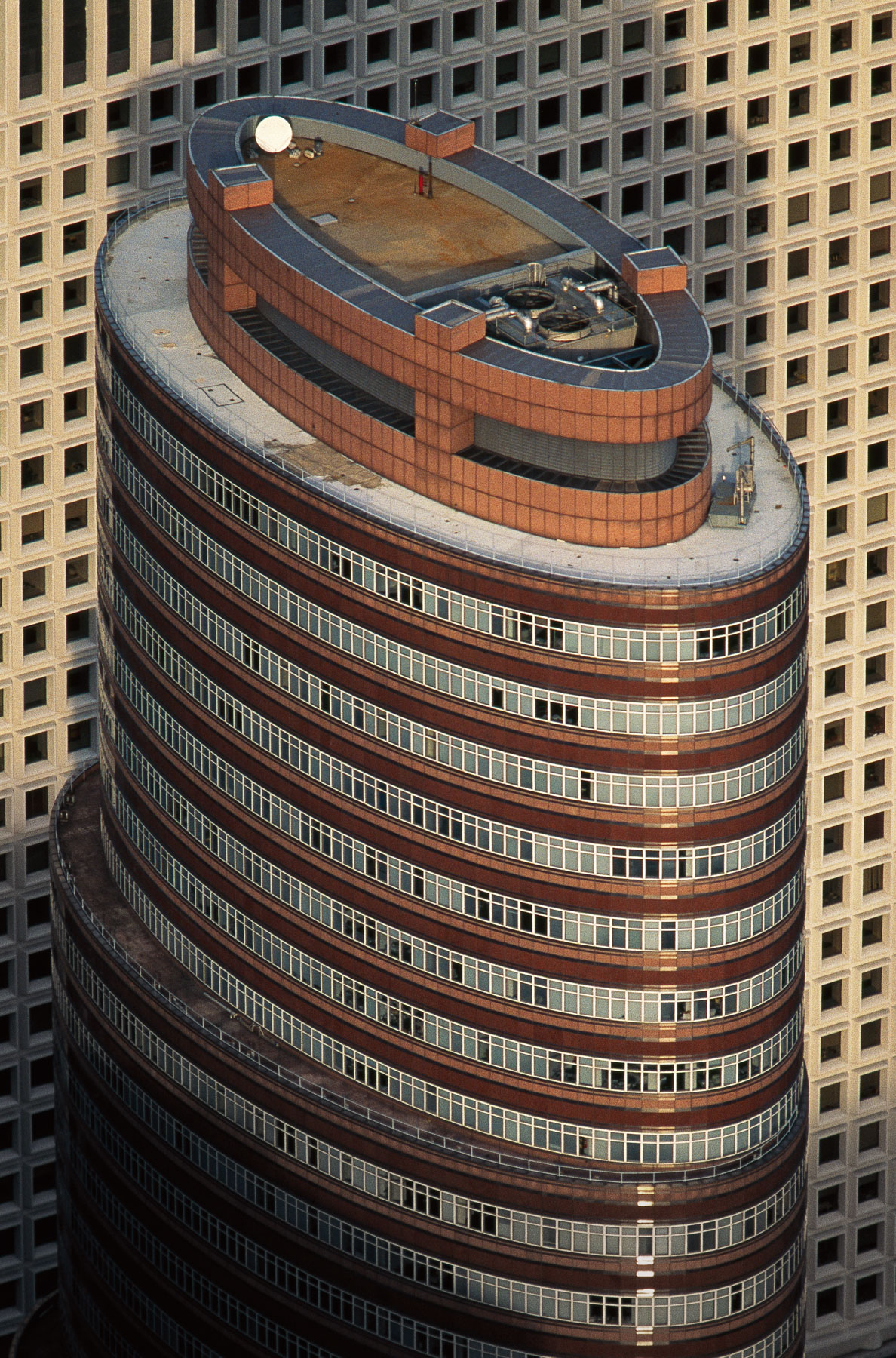
The Lipstick Building, 885 Third Avenue, Sutton Place, Manhattan, New York, United States (40°45′28″N, 73°58′08″W).
American Piano Company Building, 29 West and 57th Street, Midtown, Manhattan, New York, United States (40°45'50.27" N, 73°58'32.41" O)
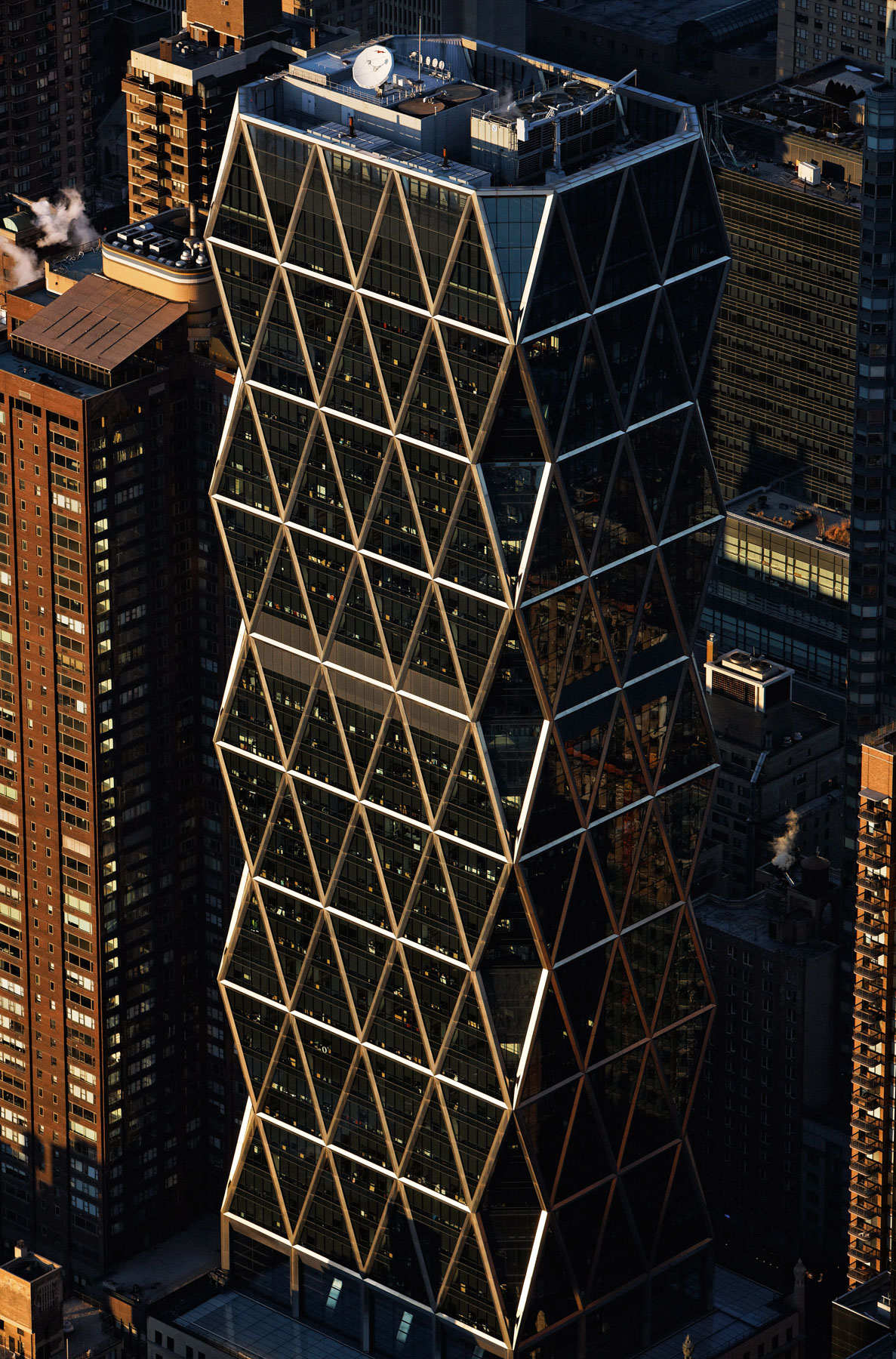
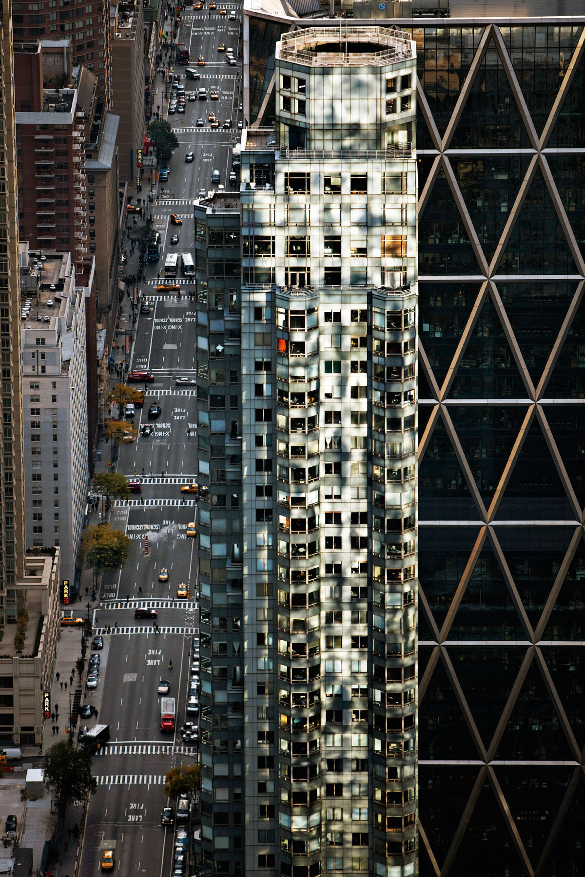
Hearst Tower by Norman Foster, 959 Eighth Avenue, Clinton, Manhattan, New York, United States (40°46’ N, 73°59' W).
Central Park Place Apartments, Clinton, Manhattan, New York, United States (40°46’ N, 73°59’ W).
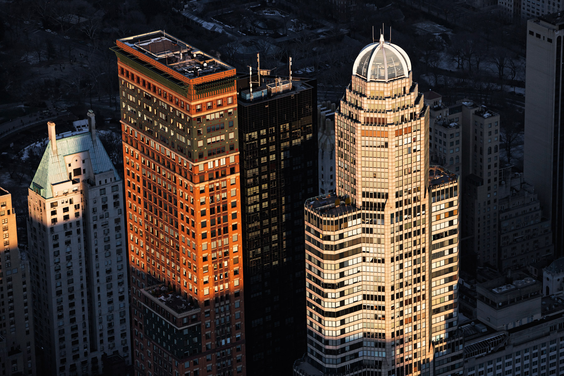
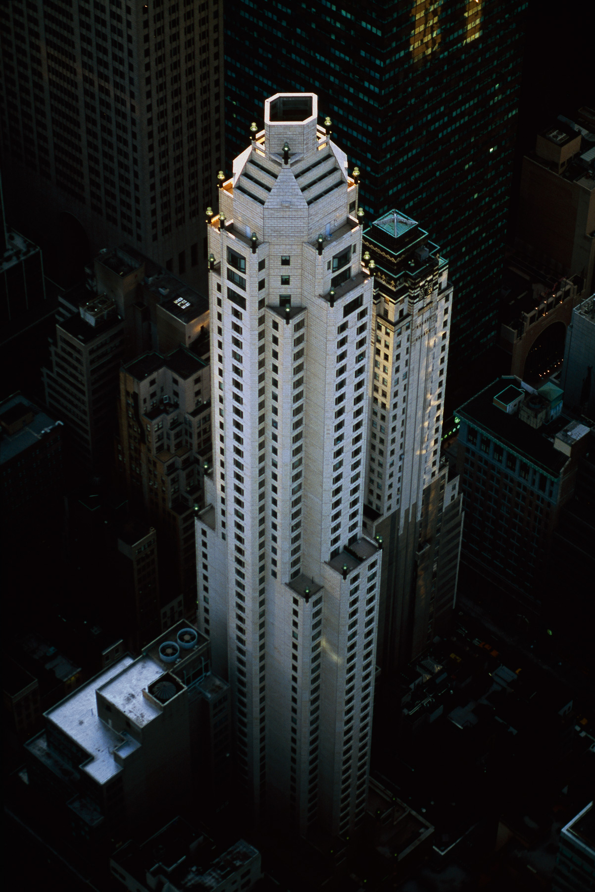
Four Towers: Hampshire House, Carnegie Hall Tower, Metropolitan Tower and the CitySpire Center, Midtown, Manhattan, New York, United States(40°45'53"N, 73°58'47"W).
Four Seasons Hotel, Midtown, Manhattan, New York, United States (40°45'44"N, 73°58'17"W).
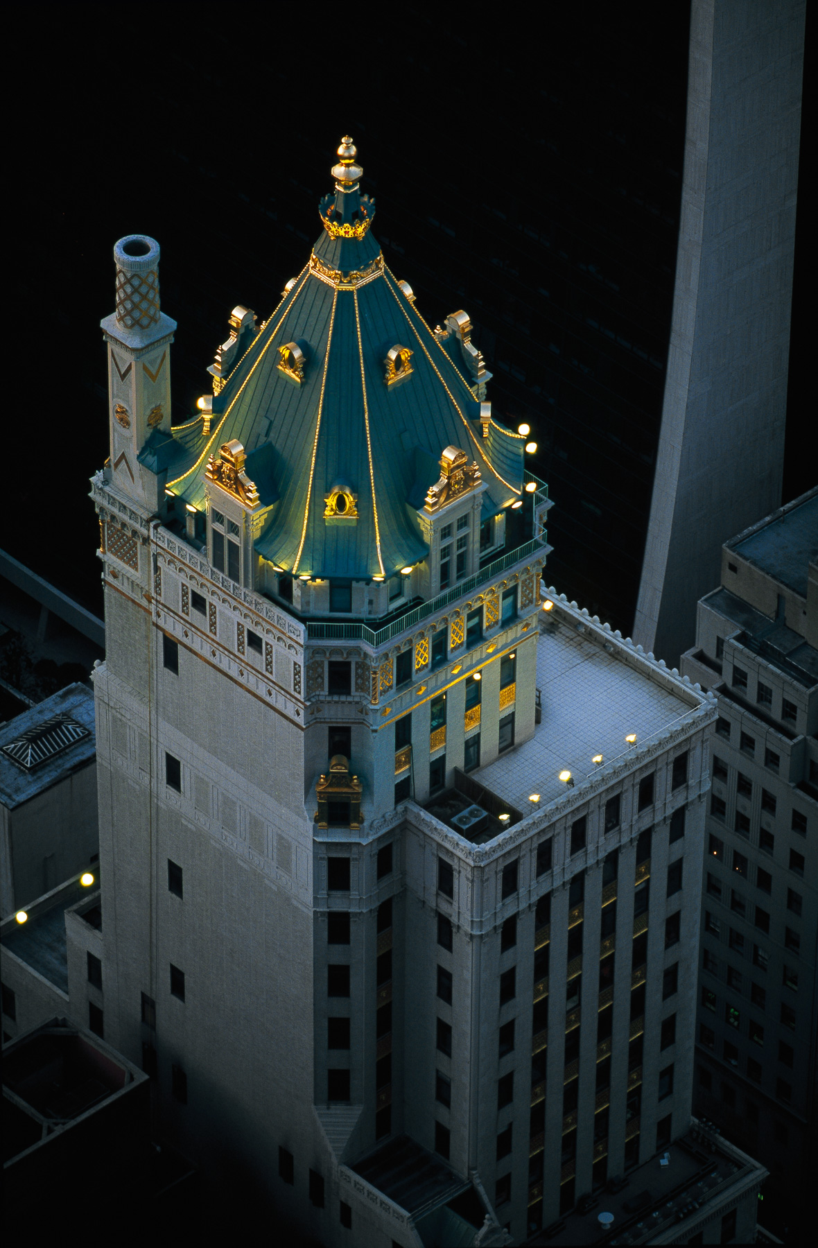
Crown Building former Heckscher Building, 730 Fifth Avenue, Midtown, Manhattan, New York, United States (40°45'46.32" N, 73°58'28.59" W).
Ritz Hotel Tower and The Galleria, Midtown, Manhattan, New York, United States (40°45'41.82" N, 73°58'12.70" W).
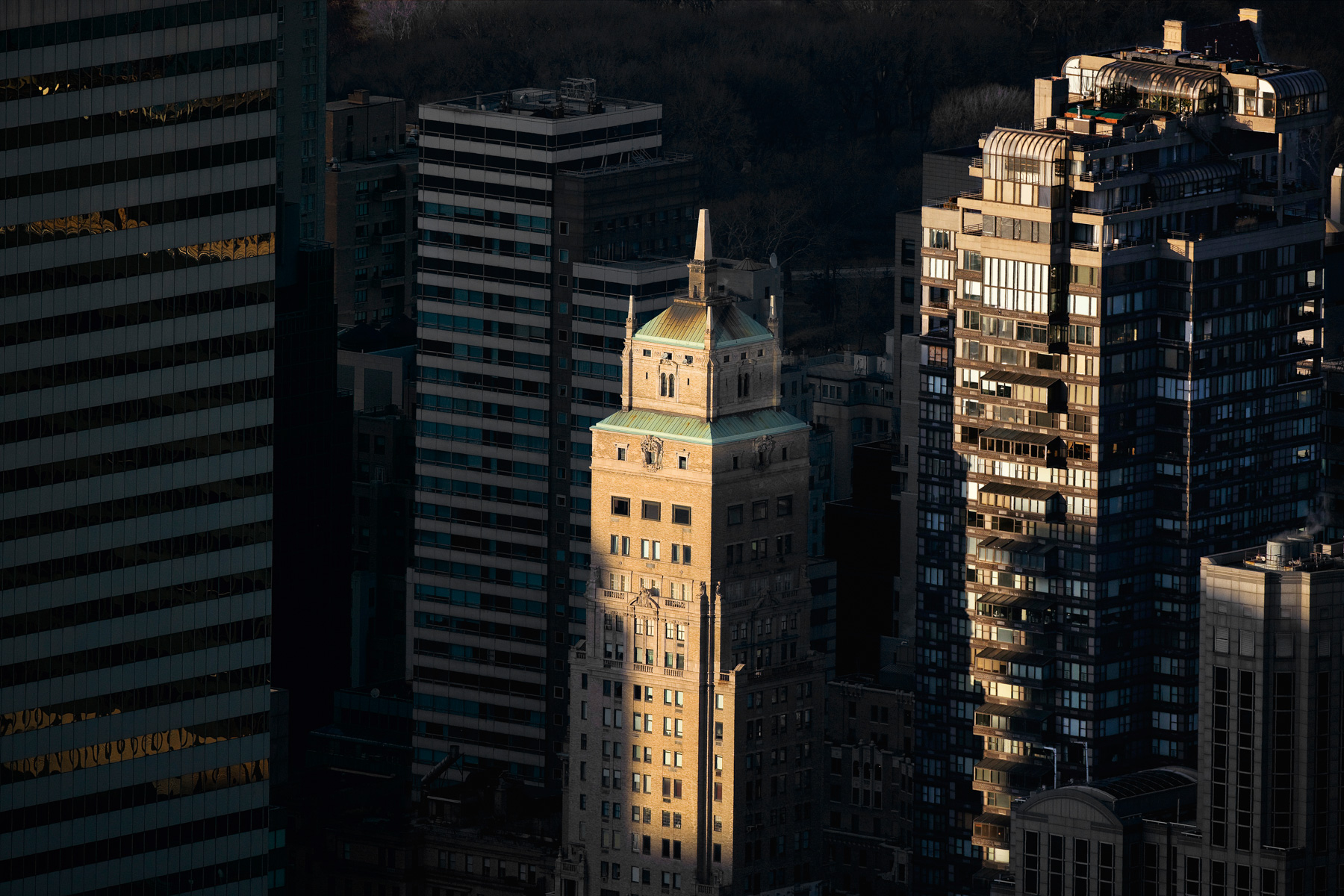
Sherry Netherland Hotel, 781 Fifth Avenue, Lenox Hill, Manhattan, New York, United States (40°45'52"N, 73°58'21"W).
Salon de Ning at the Gotham Hotel, The Peninsula hotel, 700 Fifth Avenue, Midtown, Manhattan, New York, United States (40°45′41.62″N, 73°58′31″W).
Carlyle Hotel, Upper East Side, Manhattan, New York, United States (40°46’ N, 73°58’ W).
The Pierre Hotel, Lenox Hill, Manhattan, New York, United States (40°45′54″N, 73°58′18″W).
Trump Palace Apartments, Upper East Side, Manhattan, New York, United States (40°46'03"N, 73°57'43"W).
From Park Avenue to 3rd Avenue, Upper East Side, Manhattan, New York, United States (40°46’ N, 73°58’ W).
The Upper East Side, Manhattan, New York, United States (40°46'7.77" N, 73°57'30.34" W).
Manhattan as seen from Upper East Side, New York, United States (40°46'14.55" N, 73°56'47.92" W).
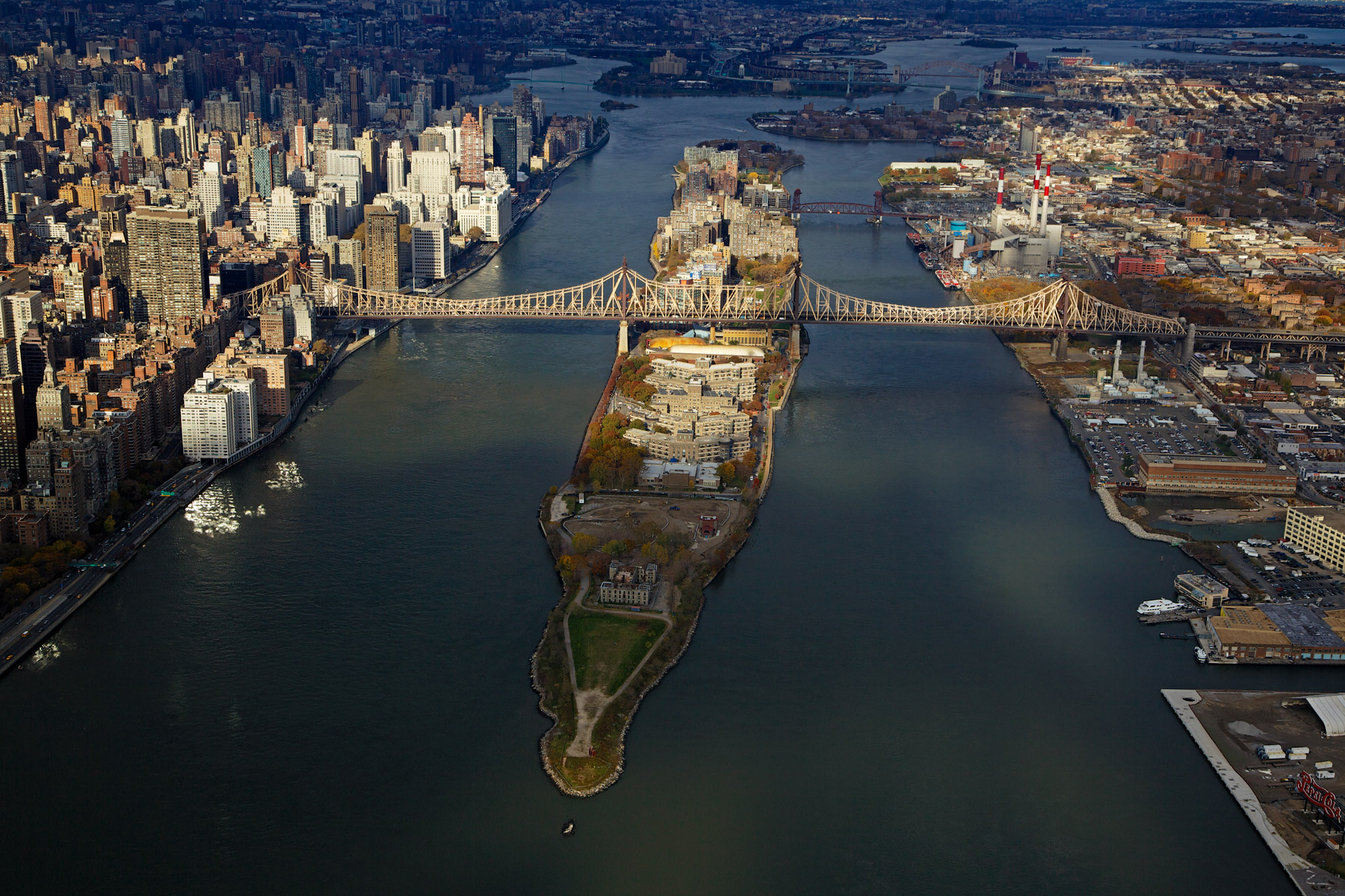
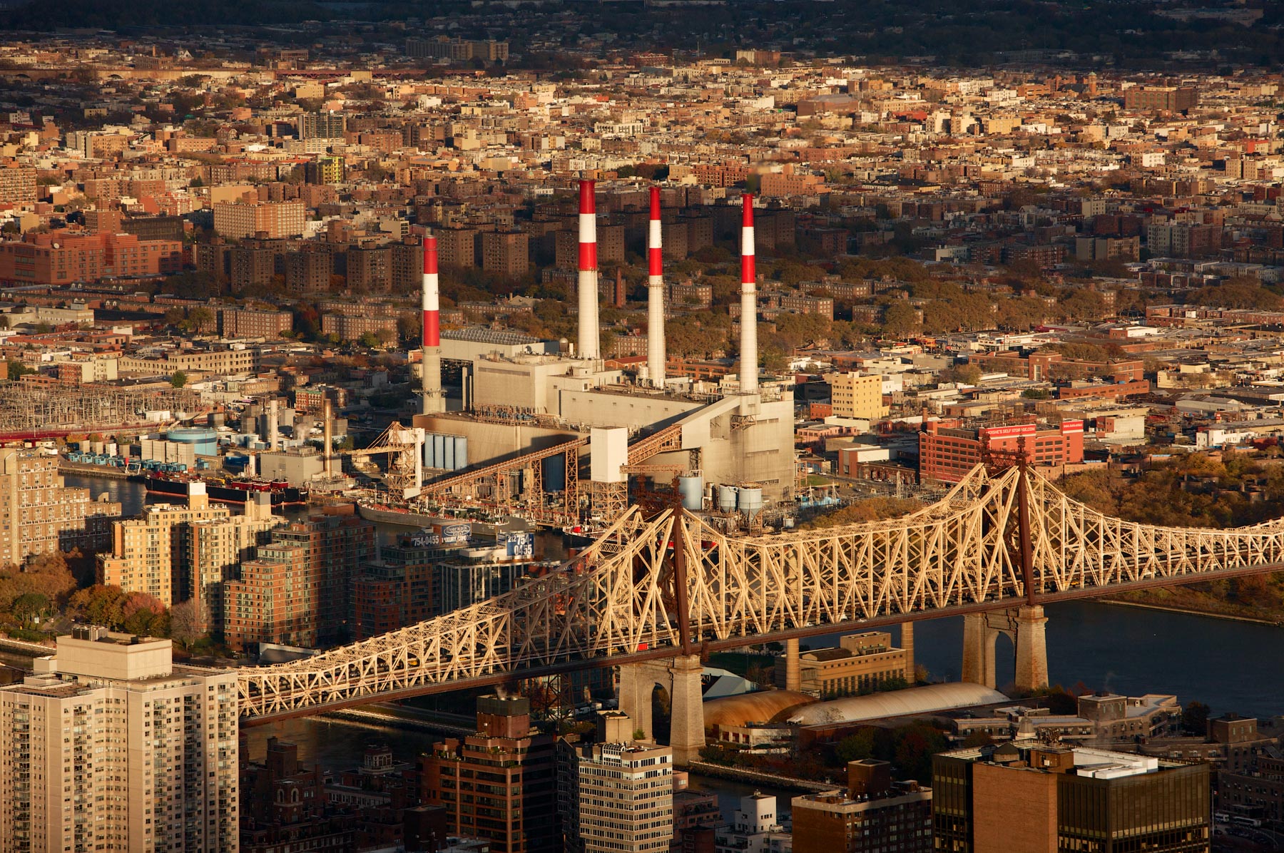
The Mayor Edward Koch Bridge or Queensboro Bridge and Roosevelt Island in the East River, between Manhattan and Queens, New York, United States (40°45’ N, 73°57’ W).
The Mayor Edward Koch Bridge or Queensboro Bridge and the borough of Queens, Manhattan, New York, United States (40°45’ N, 73°57’ W).
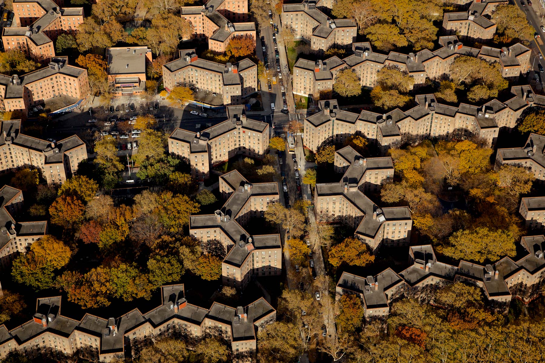
Queensbridge Houses, Queens, New York, United States (40°45'18.7"N, 73°56'43.2W).
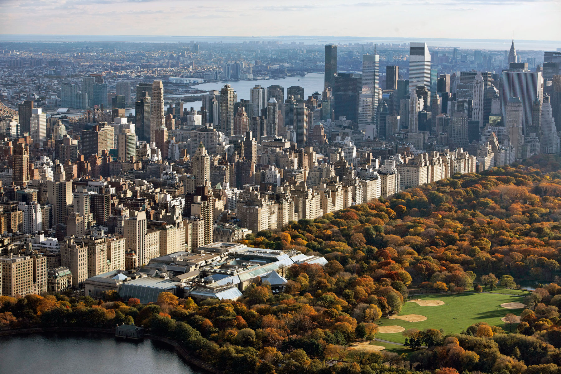
The Metropolitan Museum of Art in Central Park and the Fifth Avenue, Upper East Side, Manhattan, New York, United States (40°46'46"N, 73°57'47"W).
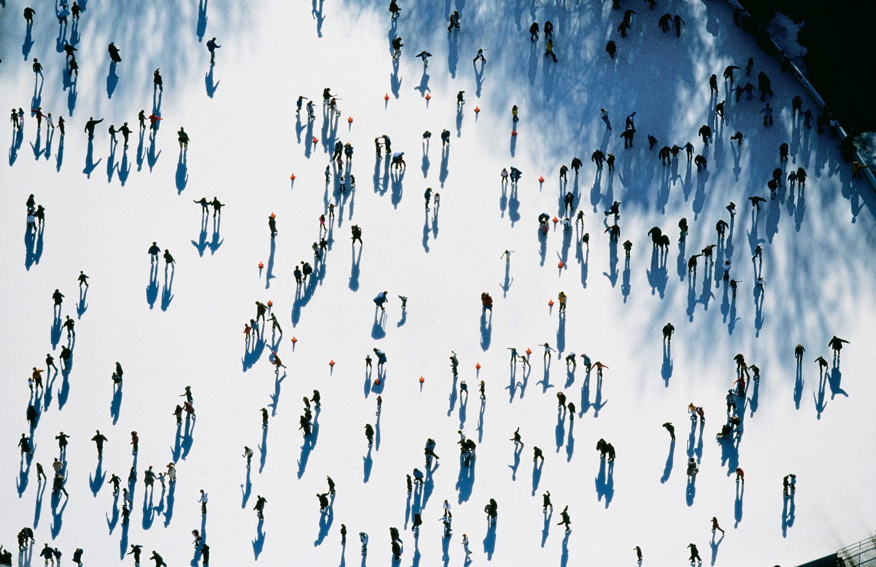
LaskerIce Skating Rink, Central park, Manhattan, New York, United States (40°48’ N, 73°57’ W).
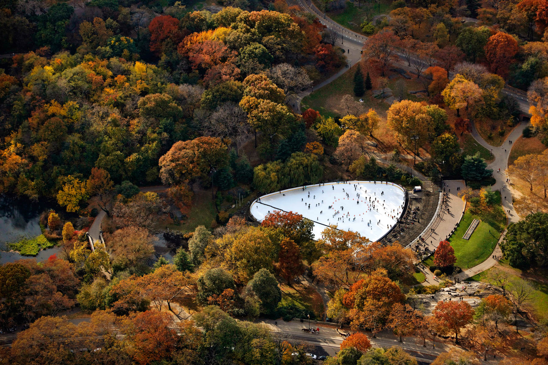
Wollman rink in Central Park, Manhattan, New York, United States (40°46’03" N, 73°57’28" W).
Trump Parc Apartments, 106 Central Park, Midtown, Manhattan, New York, United States (40°45'55.77" N, 73°58'37.25" W).
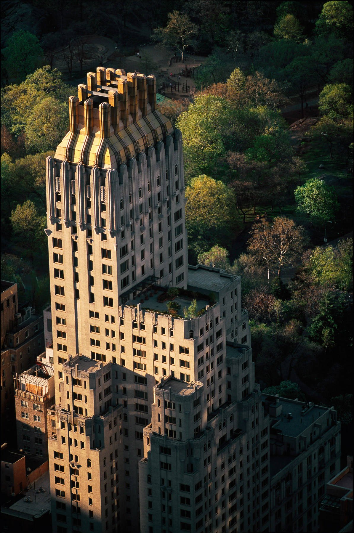
Majestic Apartments, 115 Central Park, Upper West Side, Manhattan, New York, United States (40°46'33"N, 73°58'35"W).
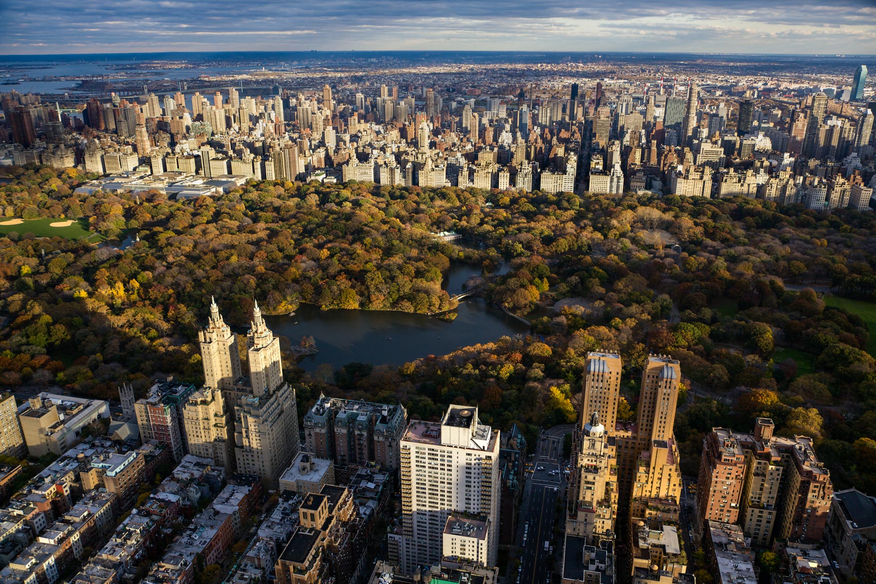
The Majestic and the Eldorado Apartment and Central Park, Rowboat lake, Central Park, Manhattan, New York, United States (40°46'34"N, 73°58'16"W).
Rowboat lake in Central Park, Upper West Side, Manhattan, New York, United States (40°46'34"N, 73°58'16"W).
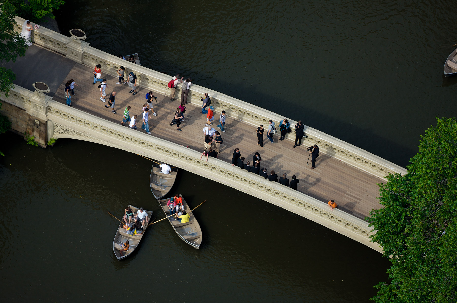
Bow Bridge and the Rowboat lake in Central Park, Manhattan, New York, United States (40°46′33″N, 73°58′18.6″W).
Top of San Remo Apartments and the Rowboat Lake in Central Park, Upper West Side, Manhattan, New York, United States (40°47′18.1″N, 73°58′2.66″W).
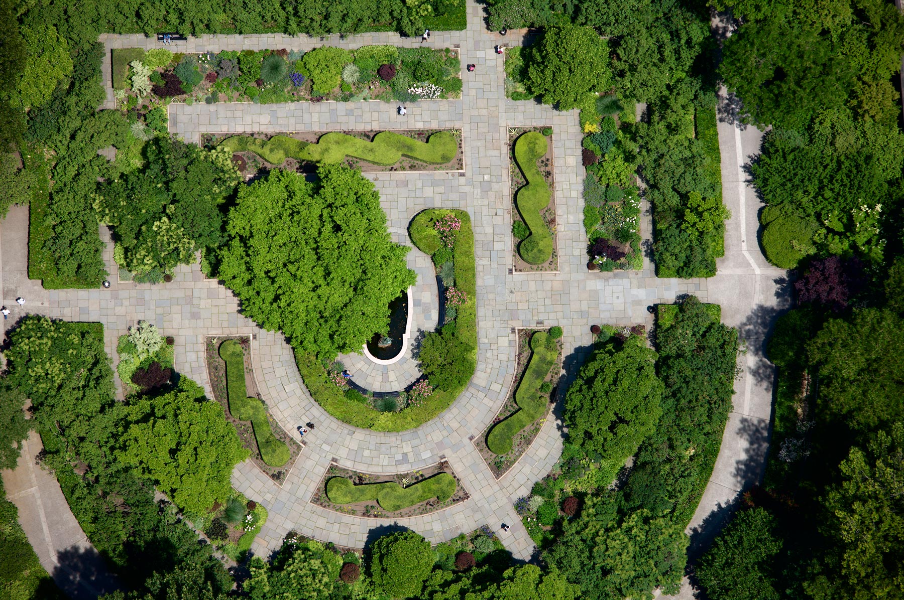
Conservatory Garden, Central Park, Manhattan, New York, United States (40°48’ N, 73°57’ W).
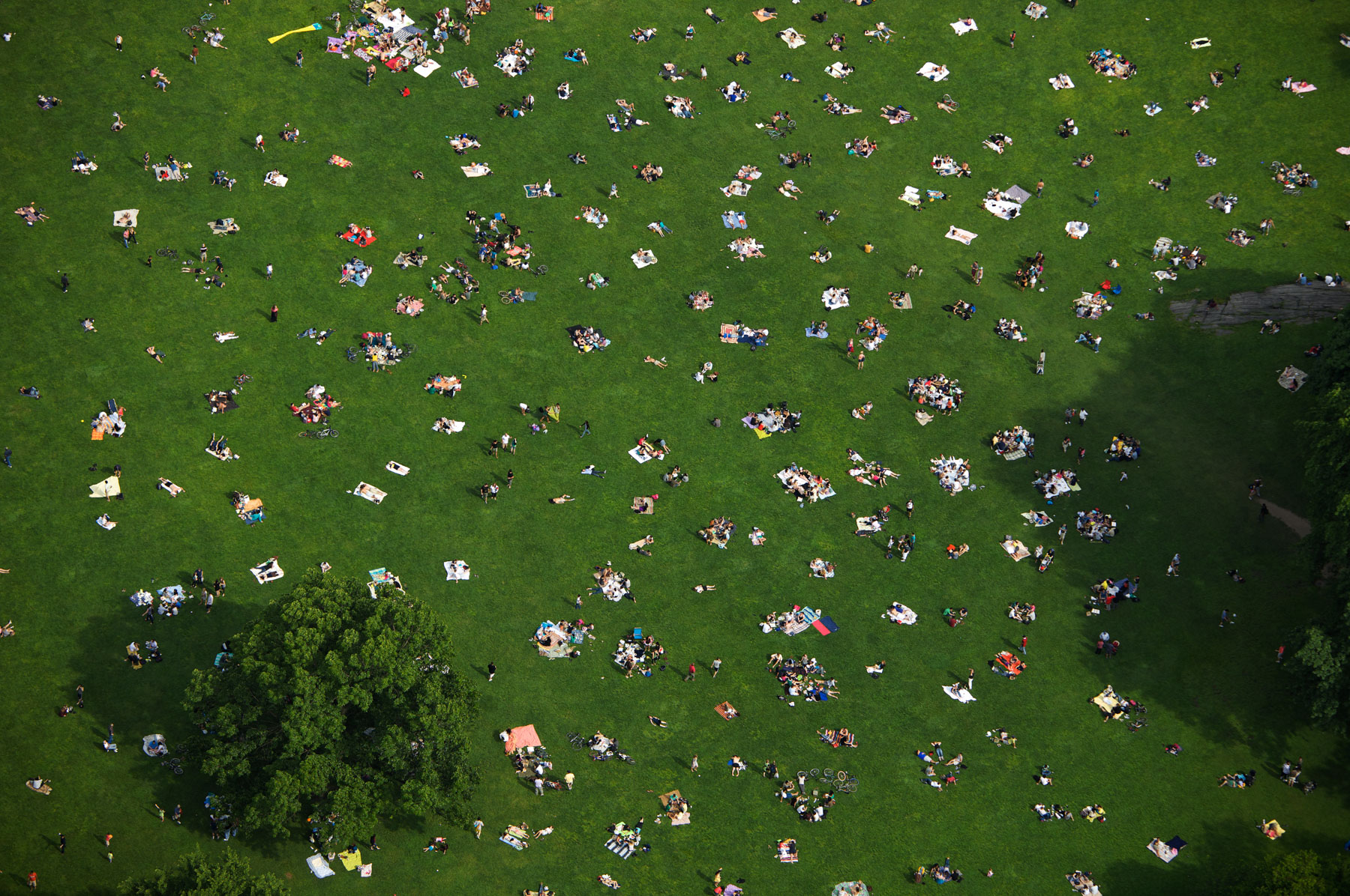
Sheep Meadow in Central Park, Manhattan, New York, United States (40°46'19.50" N, 73°58'30.96" W).
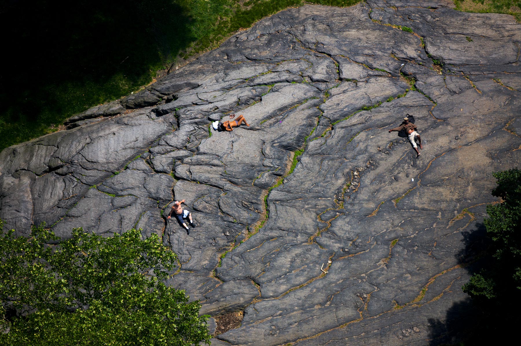
Rock in Central Park, Manhattan, New York, United States (40°46'33.78" N, 73°58'12.51" W).
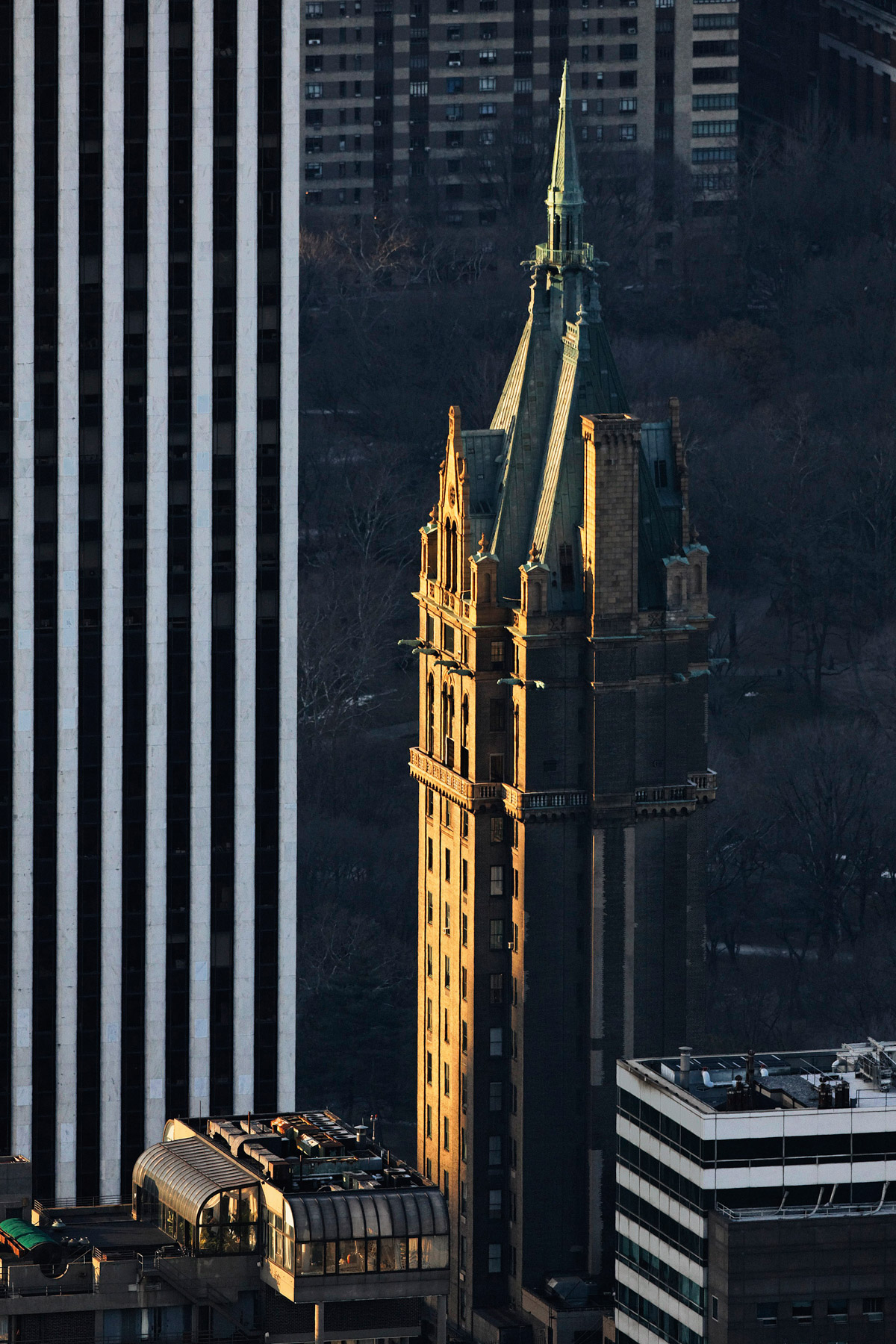
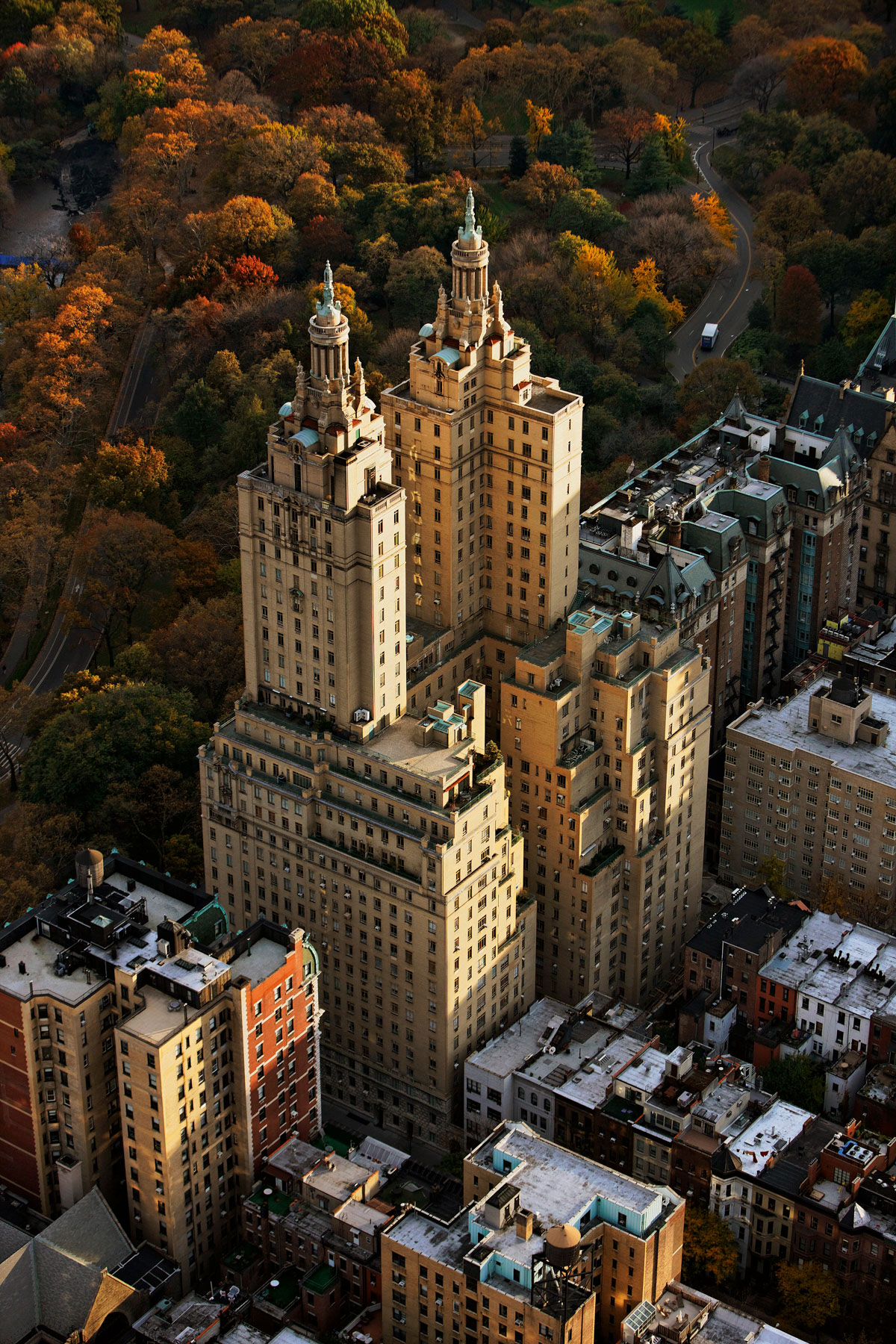
San Remo Apartments and Central Park, 300 Central Park West, Upper West Side, Manhattan, New York, United States (40°47′18.1″N, 73°58′2.66″W).
Eldorado Apartments and Central Park, 300 Central Park West, Upper West Side, Manhattan, New York, United States (40°47′18.1″N, 73°58′2.66″W).
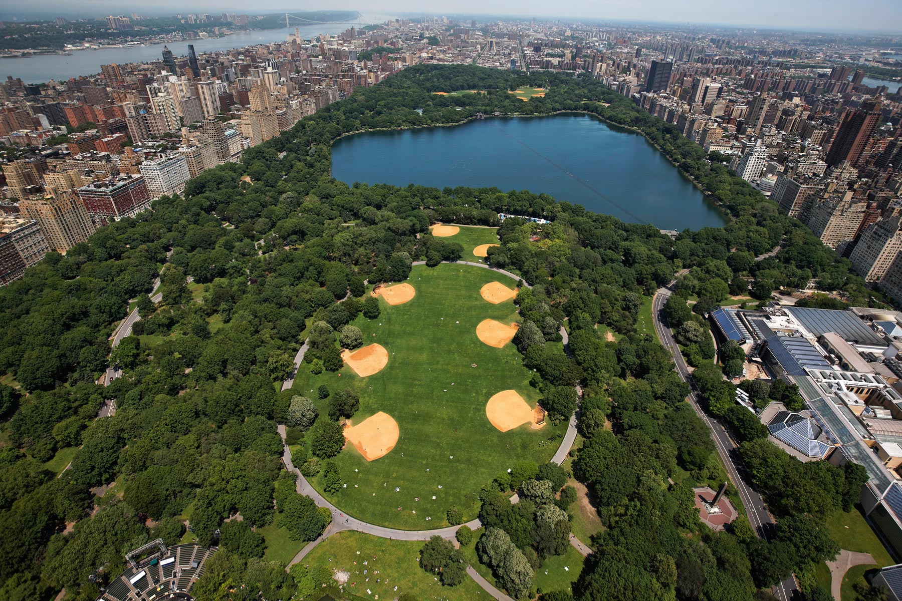
Great Lawn, Central Park, Manhattan, New York, United States (40°46'53"N, 73°57'59"W).
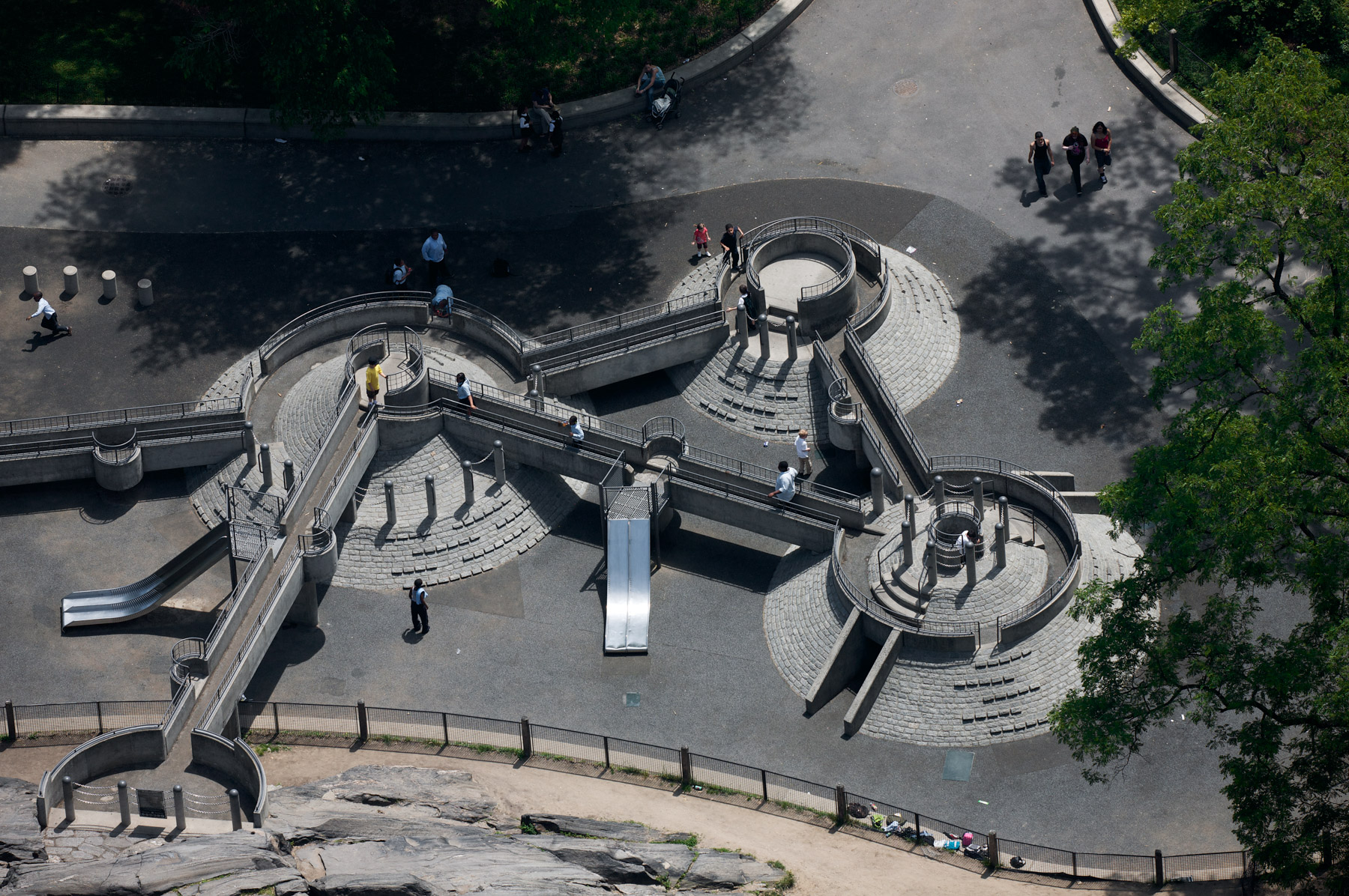
Heckscher Playgrounds, Central Park, Manhattan, New York, United States (40°46'7.79" N, 73°58'39.29" W).
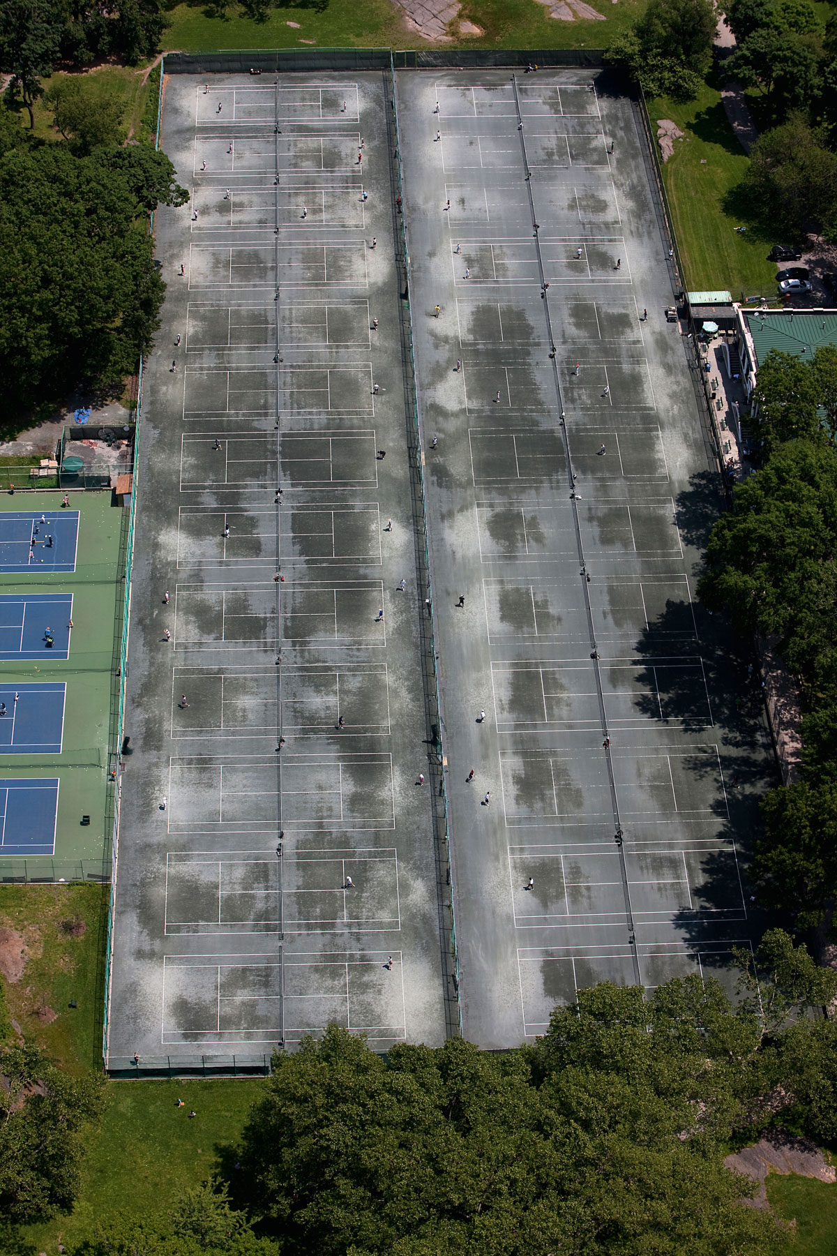
Central Park Tennis Courts, Central Park, Manhattan, New York, United States (40°47'23.67"N, 73°57'43.49" W).
Langham Apartments, 135 Central Park West, Upper West Side, Manhattan, New York, United States (40°46′38″N, 73°58′30″W).
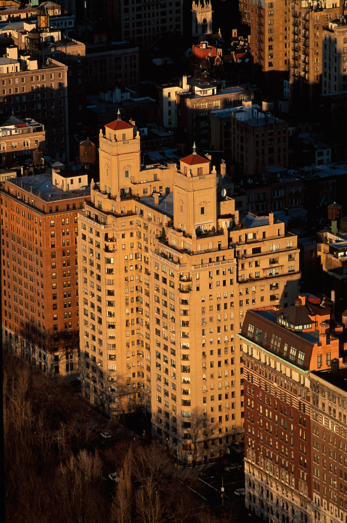
Beresford Apartments, Upper West Side, Manhattan, New York, United States (40°46′57″N, 73°58′19″W).
Normandy Apartments, Upper West Side, Manhattan, New York, United States (40°47'24.6"N, 73°58'47.4"W).
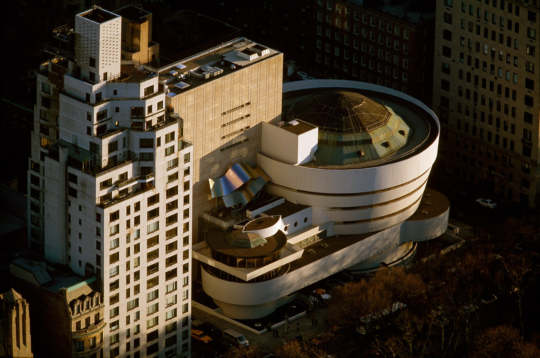
Solomon R. Guggenheim Museum, 1071 Fifth Avenue, Carnegie Hill, Manhattan, New York, United States (40°46′59″N, 73°57′32″W).
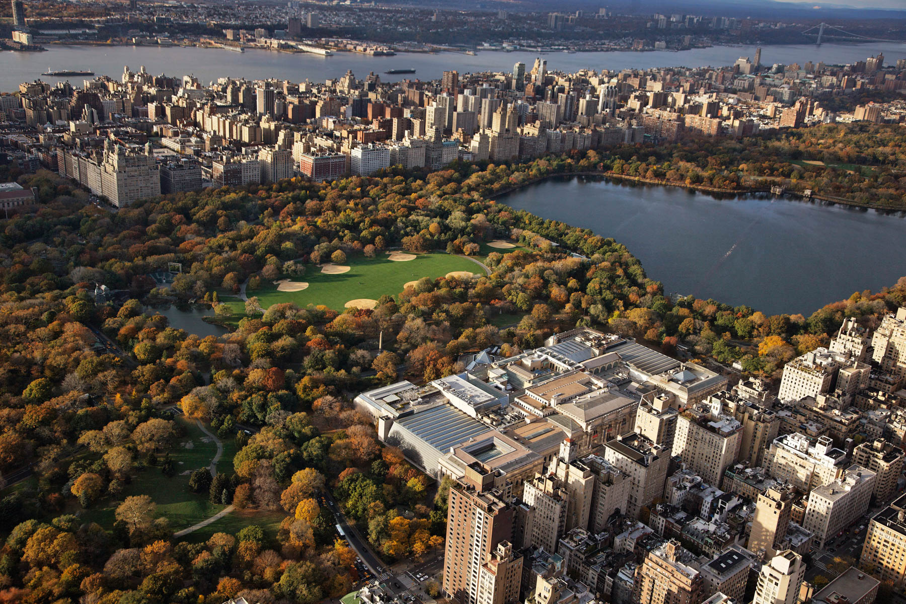
Central Park Reservoir and the Metropolitan Museum of Art, Central Park, Manhattan, New York, United States (40°46'43.26" N, 73°58'6.07" W).
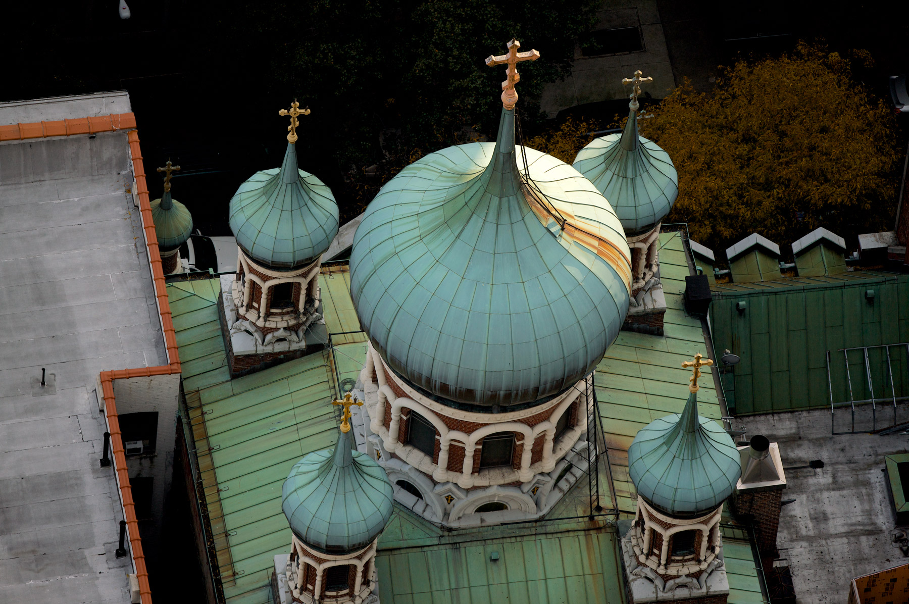
Saint Nicholas Russian Orthodox Patriarchal Cathedral, Upper East Side, Manhattan, New York, United States (40°47'17.83" N, 73°57'14.60" W).
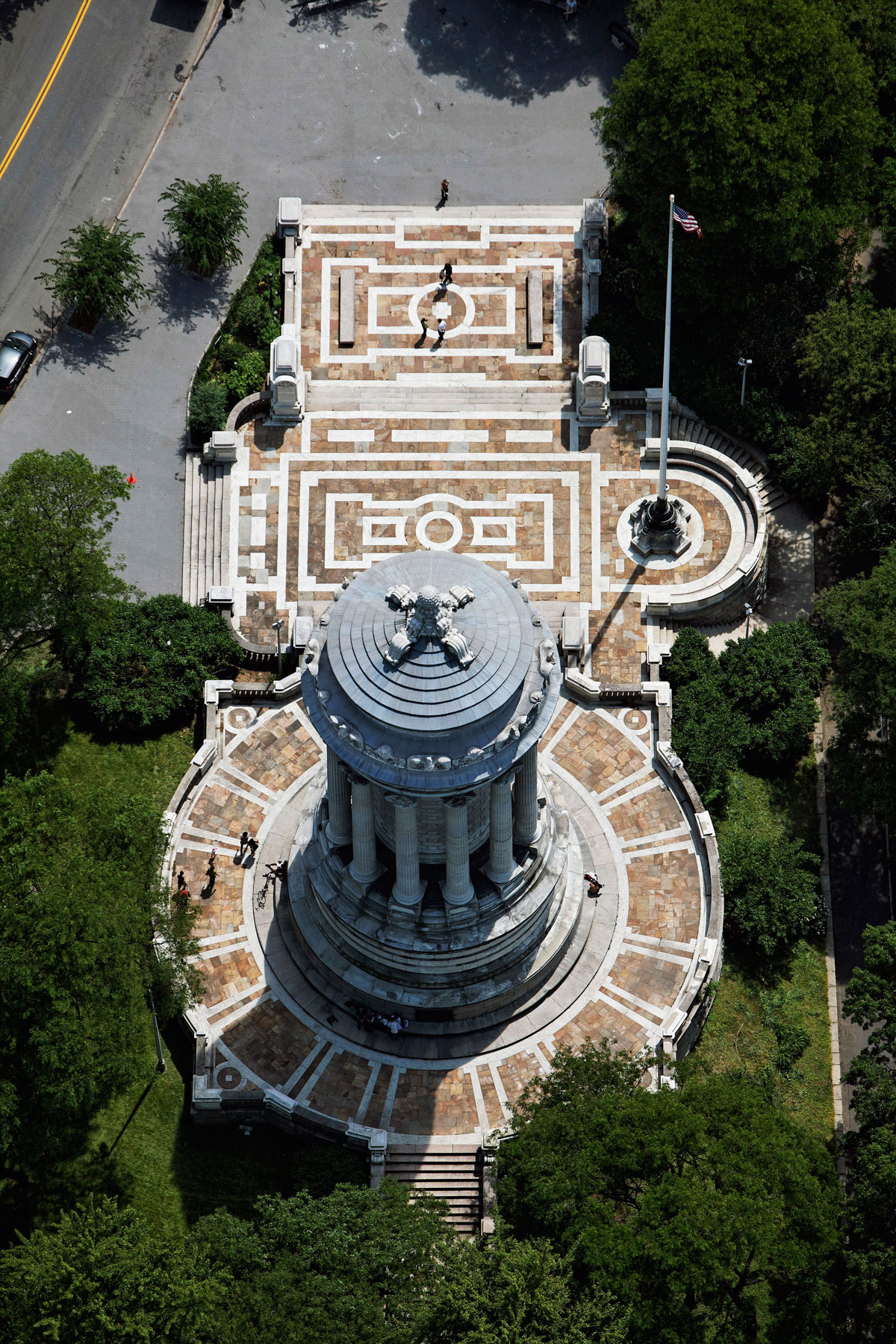
Soldiers’ and Sailors’ Monument at Riverside Park, Upper West Side, Manhattan, New York, United States (40°47’31.5" N, 73°58’44.2" W).
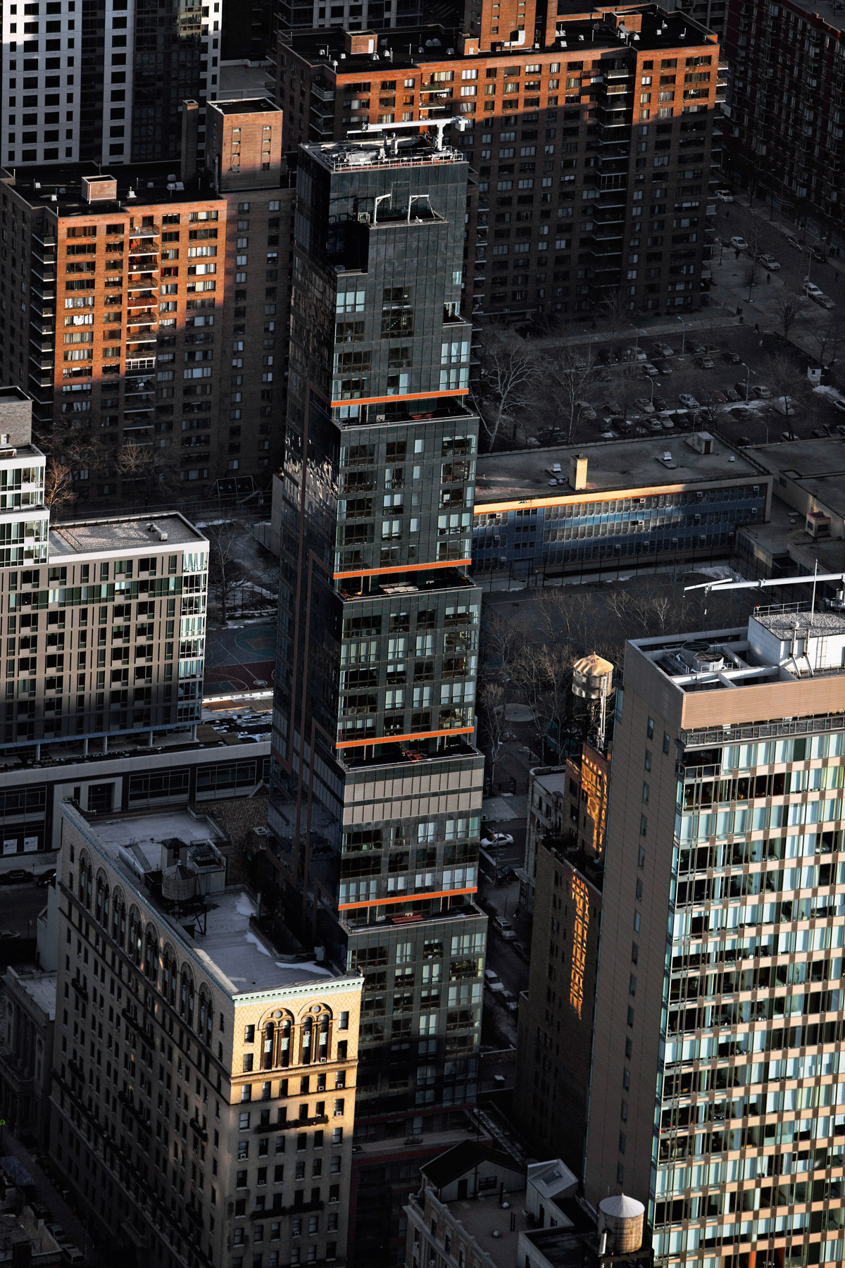
Ariel East Apartments, Upper West Side, Manhattan, New York, United States (40°48' N, 73°58' W).
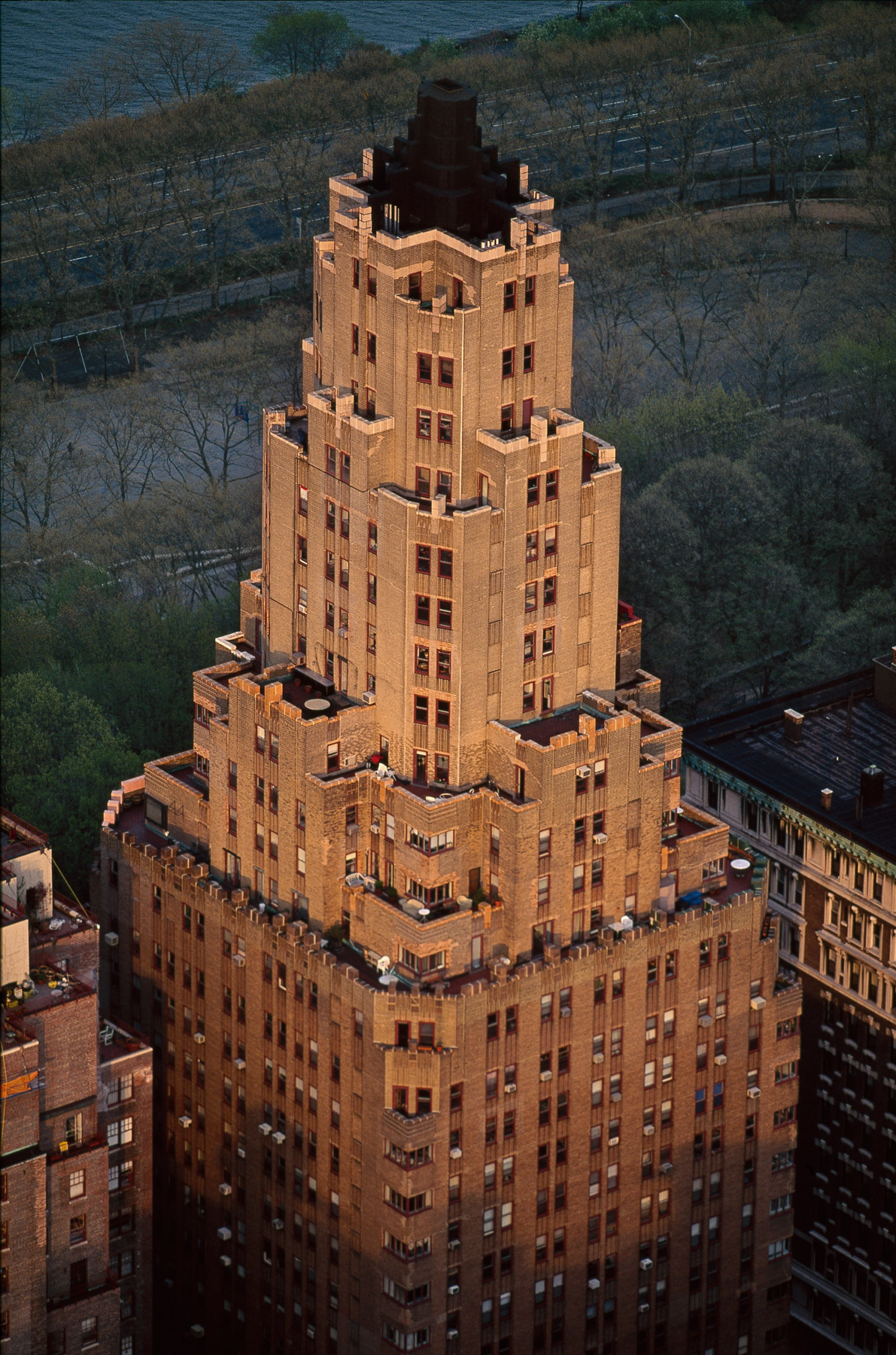
Master Apartments, Upper West Side, Manhattan, New York, United States (40.80050°N, 73.97126°W).
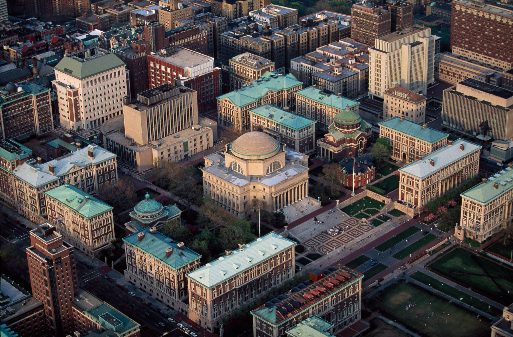
Columbia University, Morningside Heights, Manhattan, New York, United States (40°48′27″N, 73°57′43″W).
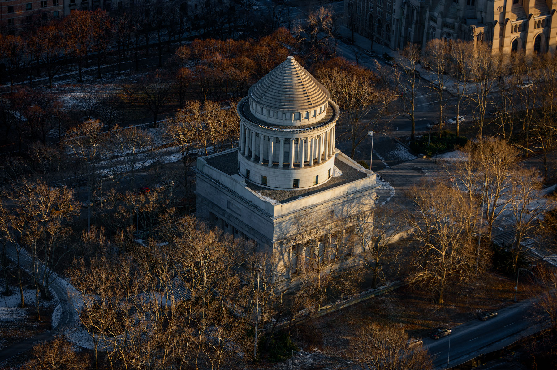
General Grant National Memorial, Grant's Tomb, Morningside Heights, Manhattan, New York, United States (40°48′48″N, 73°57′47″W).
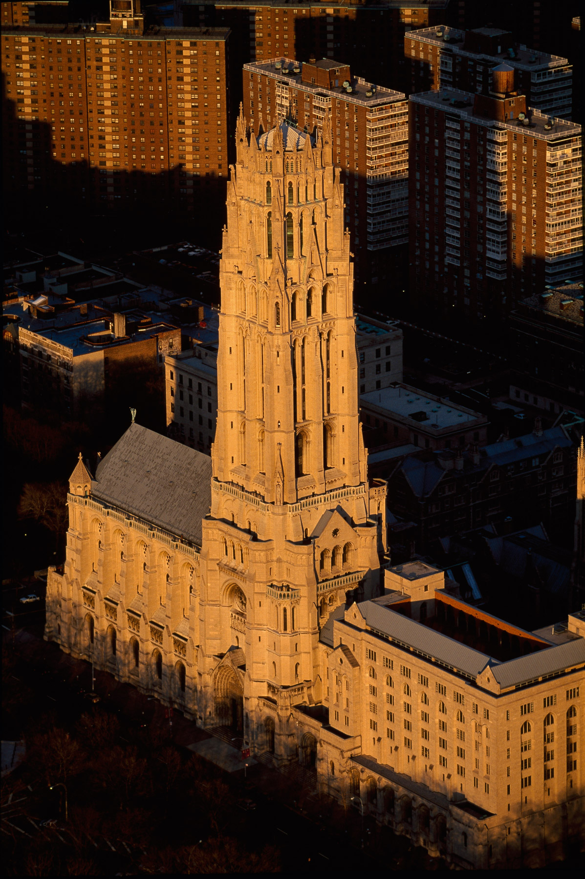
Riverside Church, Morningside Heights, Manhattan, New York, United States (40°48'433N, 73°57'48"W).
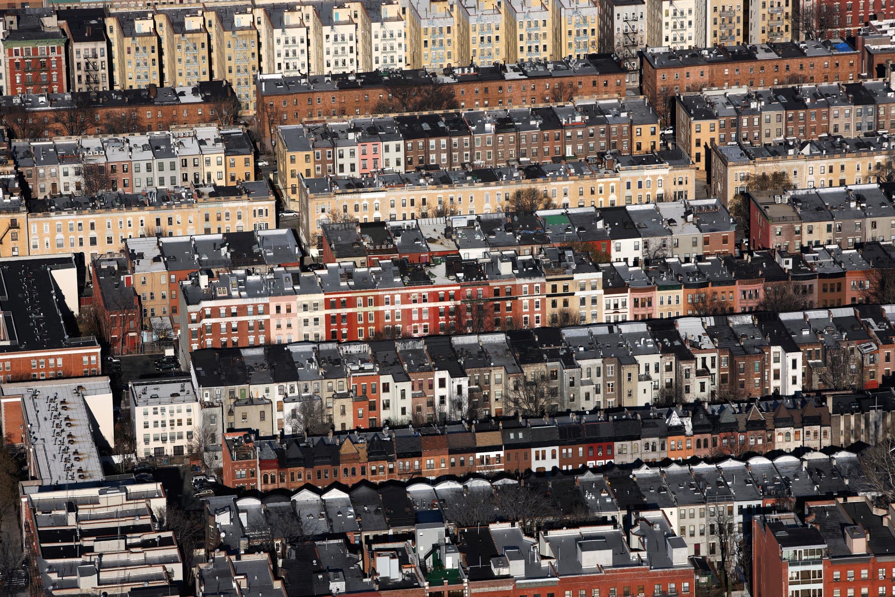
Harlem rowhouses, Manhattan, New York, United States (40°49’ N, 73°57’ W).
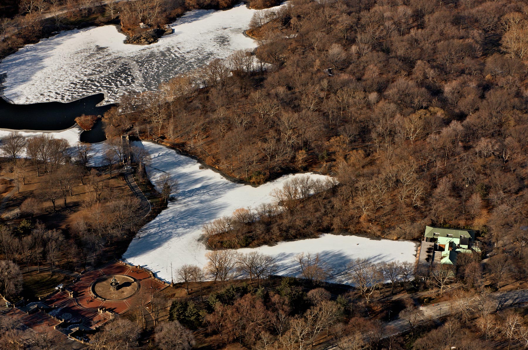
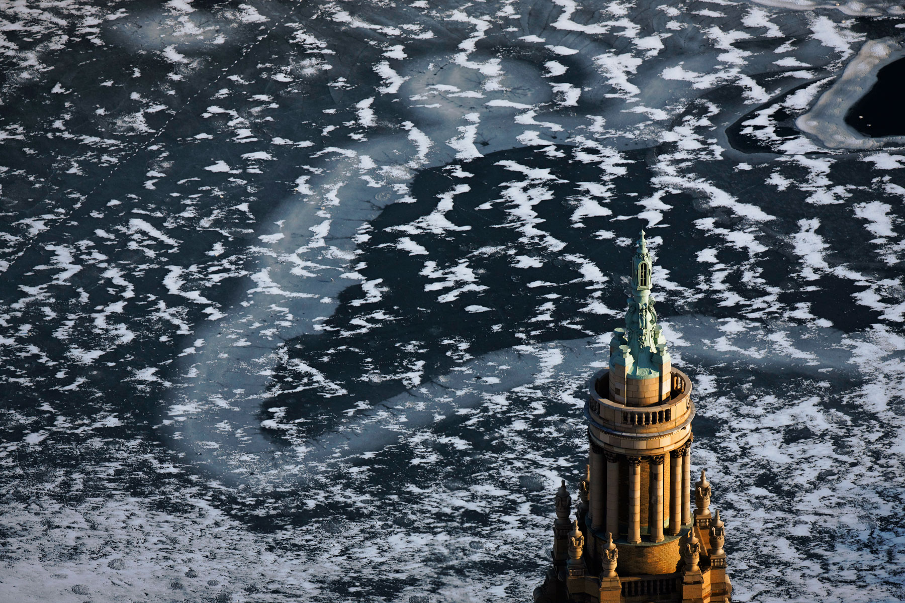
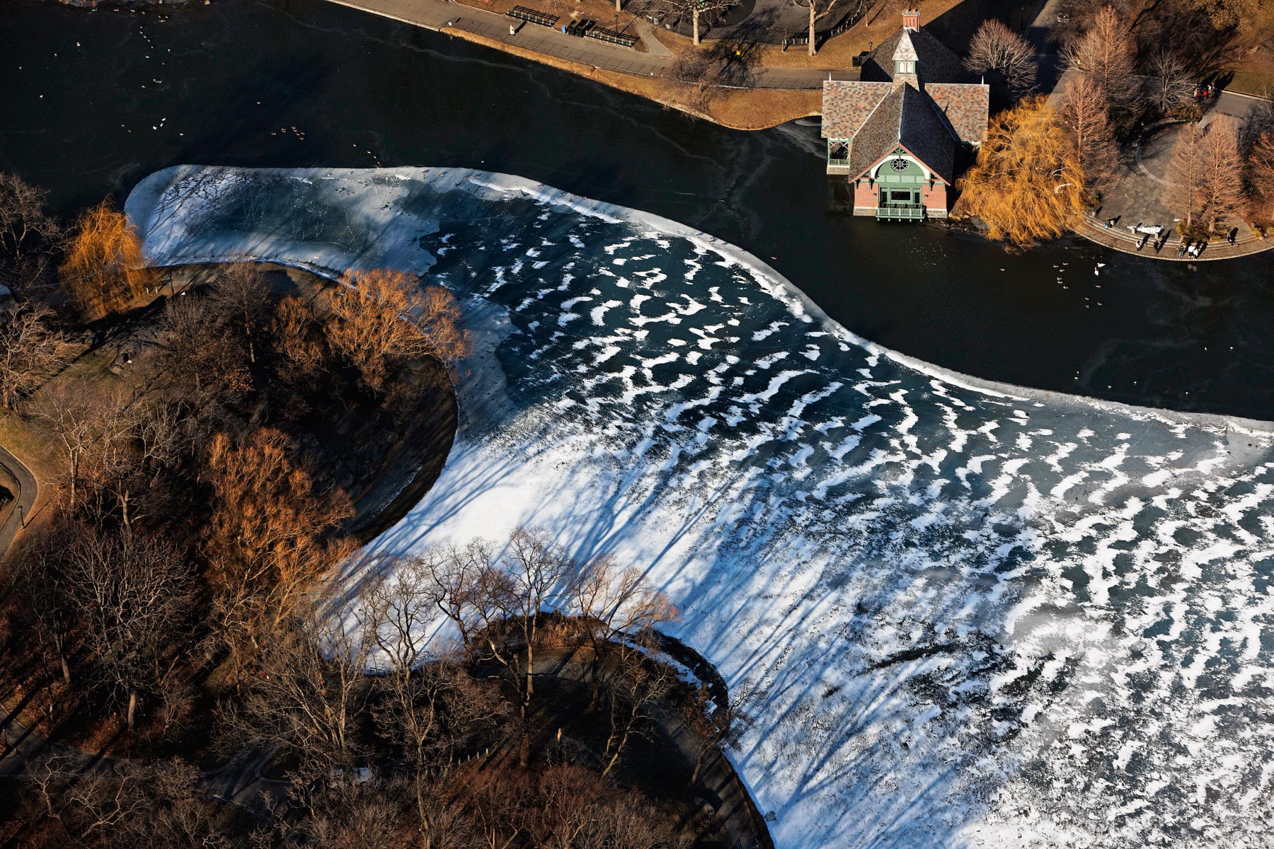
Harlem Meer and the Dana Discovery Center in winter, Central Park, Manhattan, New York, United States (40°47447.8"N, 73°57'6"W).
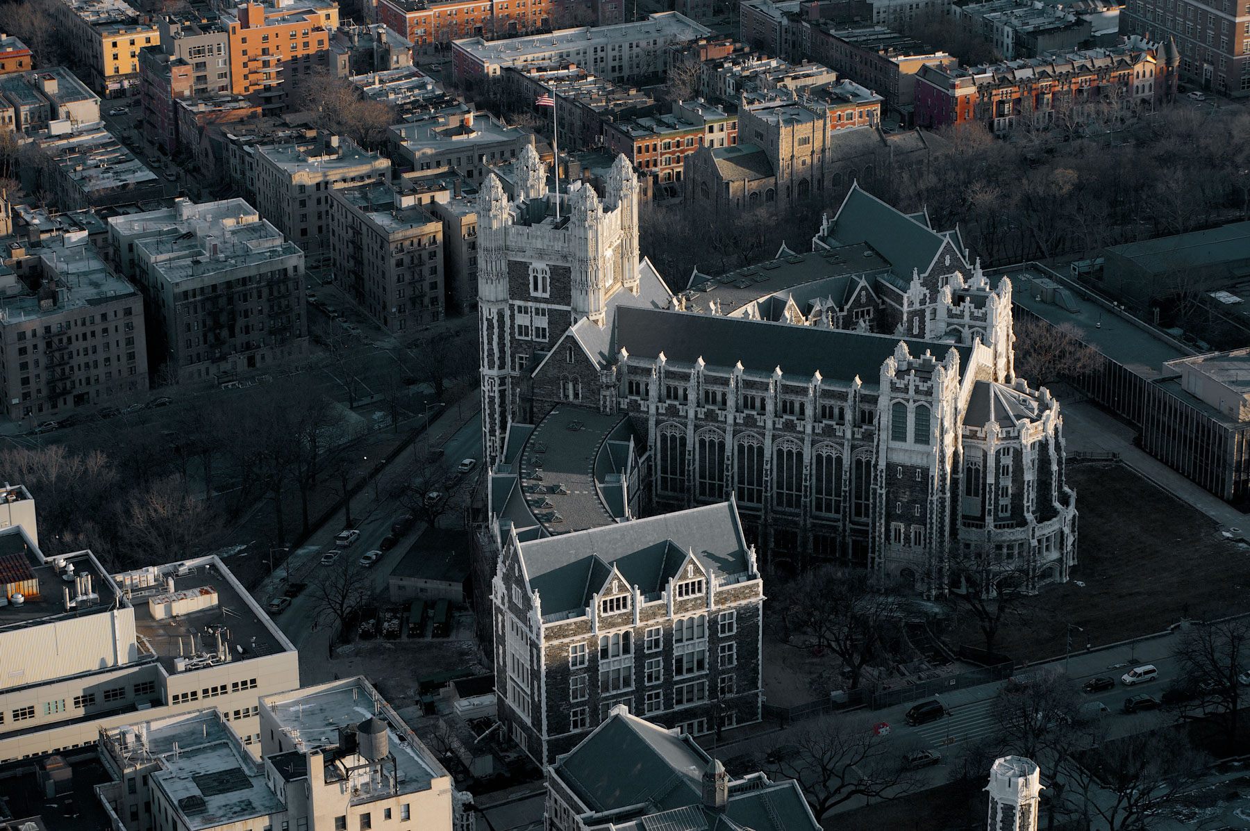
Top of the Shepard Hall, City University of New-York, Manhattan, New York, United States (40°44’ N, 73°56’ W).
Shepard Hall, City University of New York, Manhattan, New York, United States (40°44’ N, 73°56’ W).
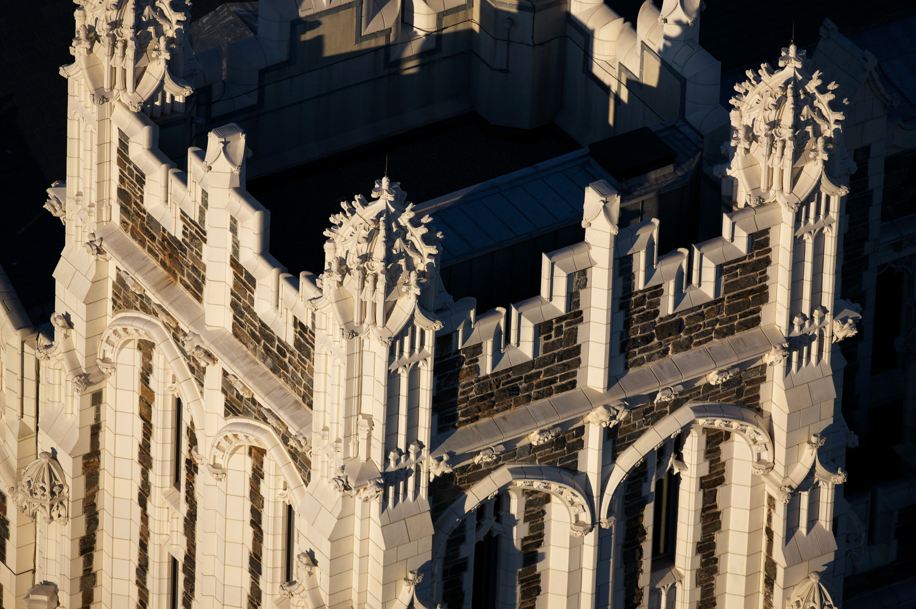
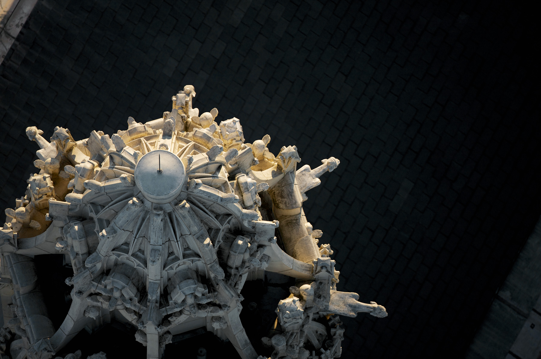
Particular of the Shepard Hall, City University of New-York, Manhattan, New York, United States (40°44’ N, 73°56’ W).
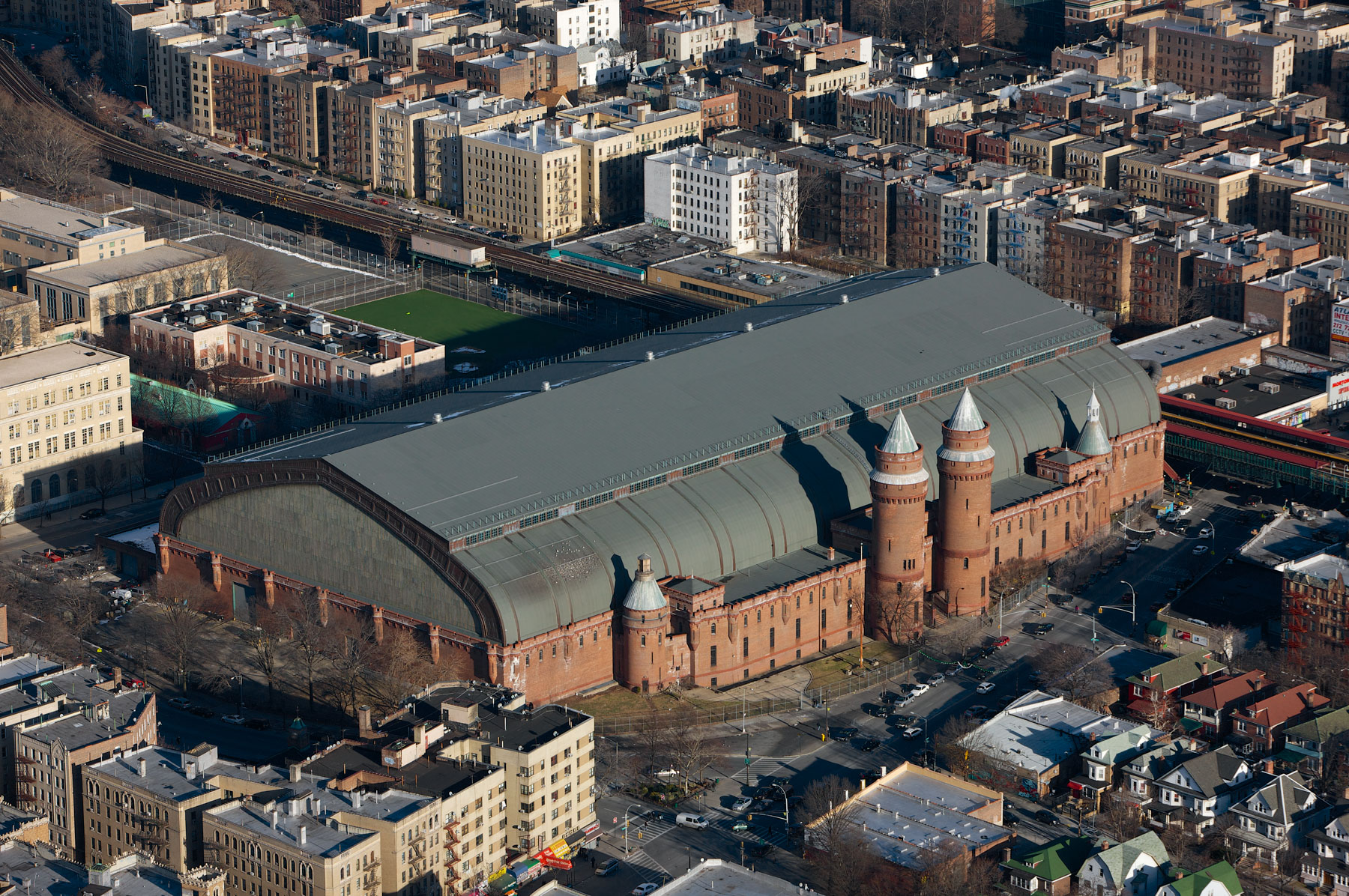
Kingsbridge Armory or the Eighth Regiment Armory, Bronx, New York, United States (40°52 4.46″N, 73°53′54.81″W).
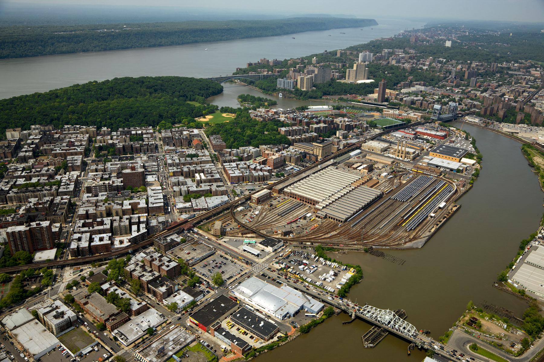
New York City Transit Authority, NYCTA, and Harlem River, Inwood, Northern Manhattan, New York, United States (40°51'42.28" N, 73°54'58.38" W).
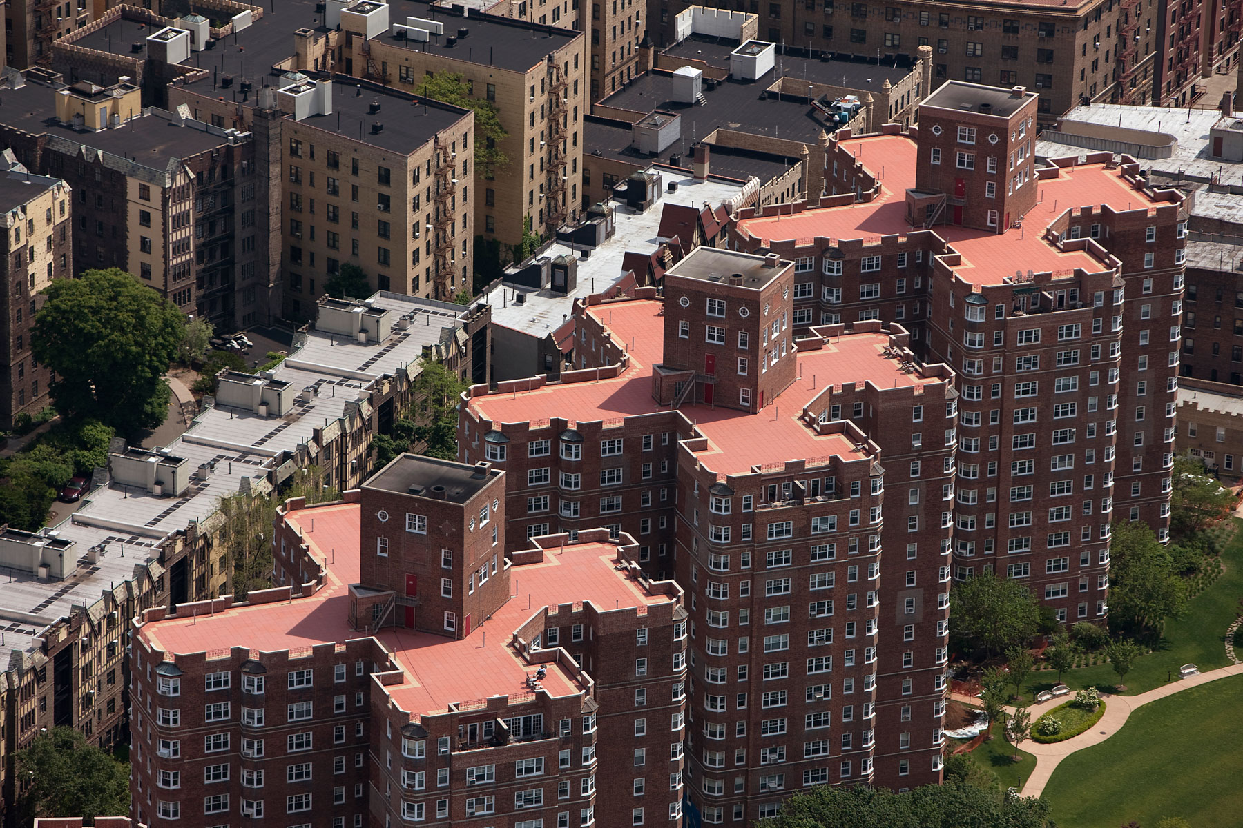
Castle Village Apartments, Washington Heights, Manhattan, New York, United States (40°51' N, 73°56' W).
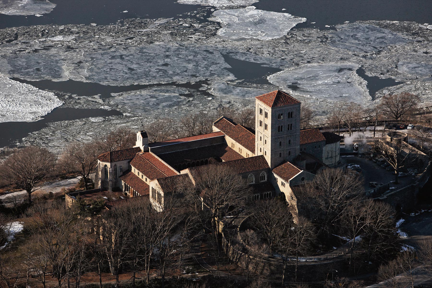
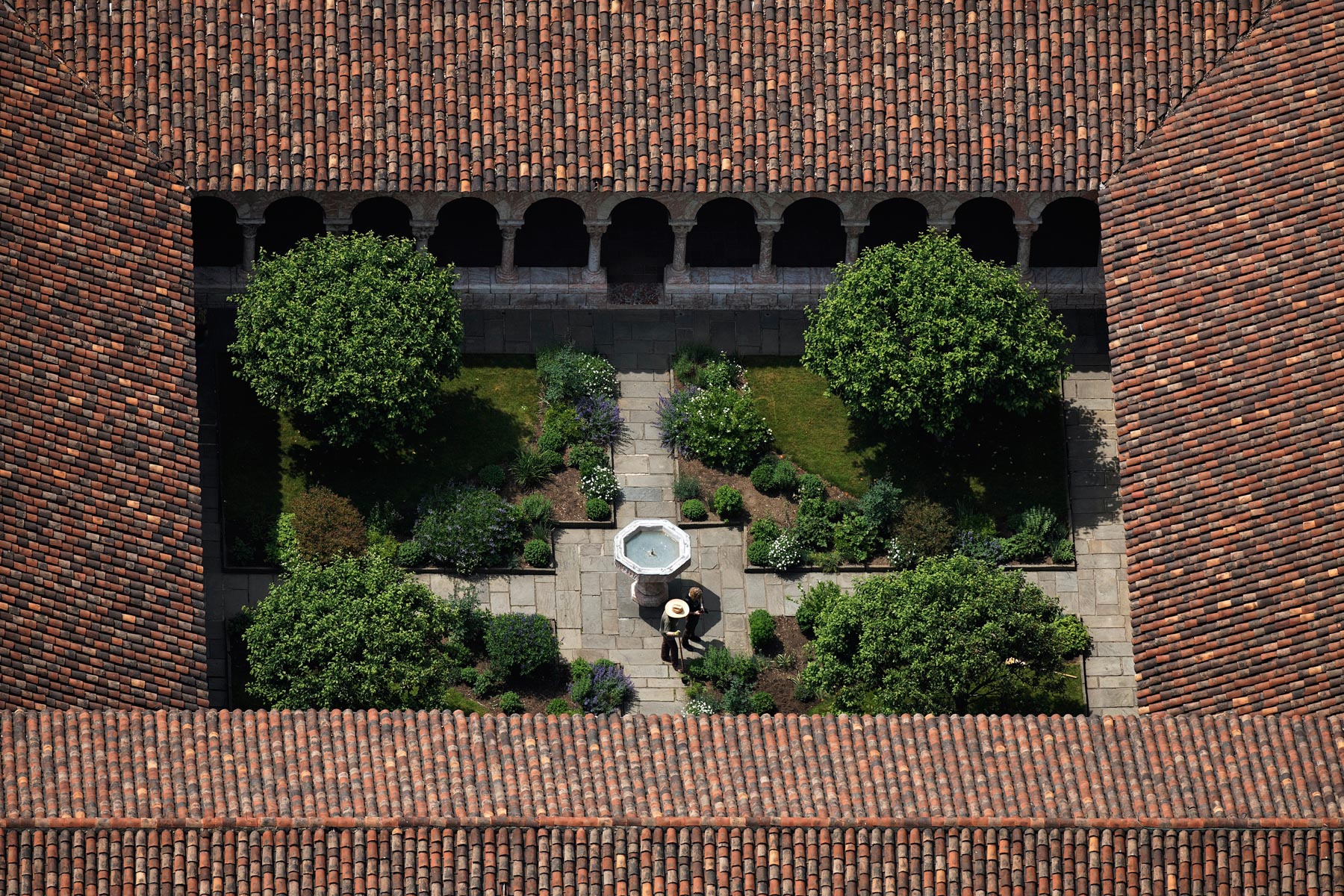
The Cloisters of Metropolitan Museum of Art in Fort Tryon Park, Washington Heights, Manhattan, New York, United States (40°51'53"N, 73°55'55"W).
The Cloisters of Metropolitan Museum of Art in Fort Tryon Park, Washington Heights, Manhattan, New York, United States (40°51'53"N, 73°55'55"W).
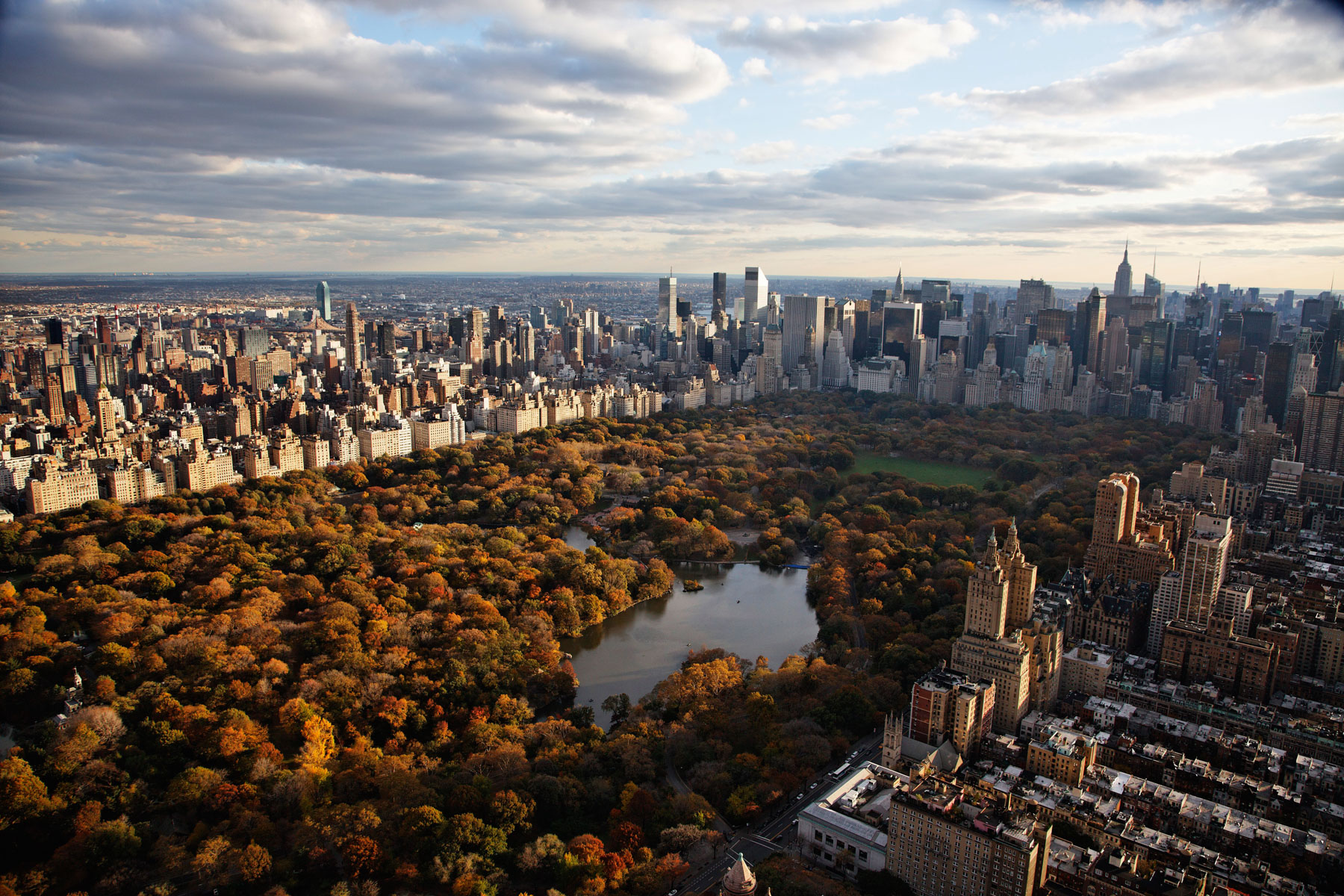
Manhattan and Central Park as seen from Upper West Side, Manhattan, New York, United States (40°46’ N, 73°58’ W).
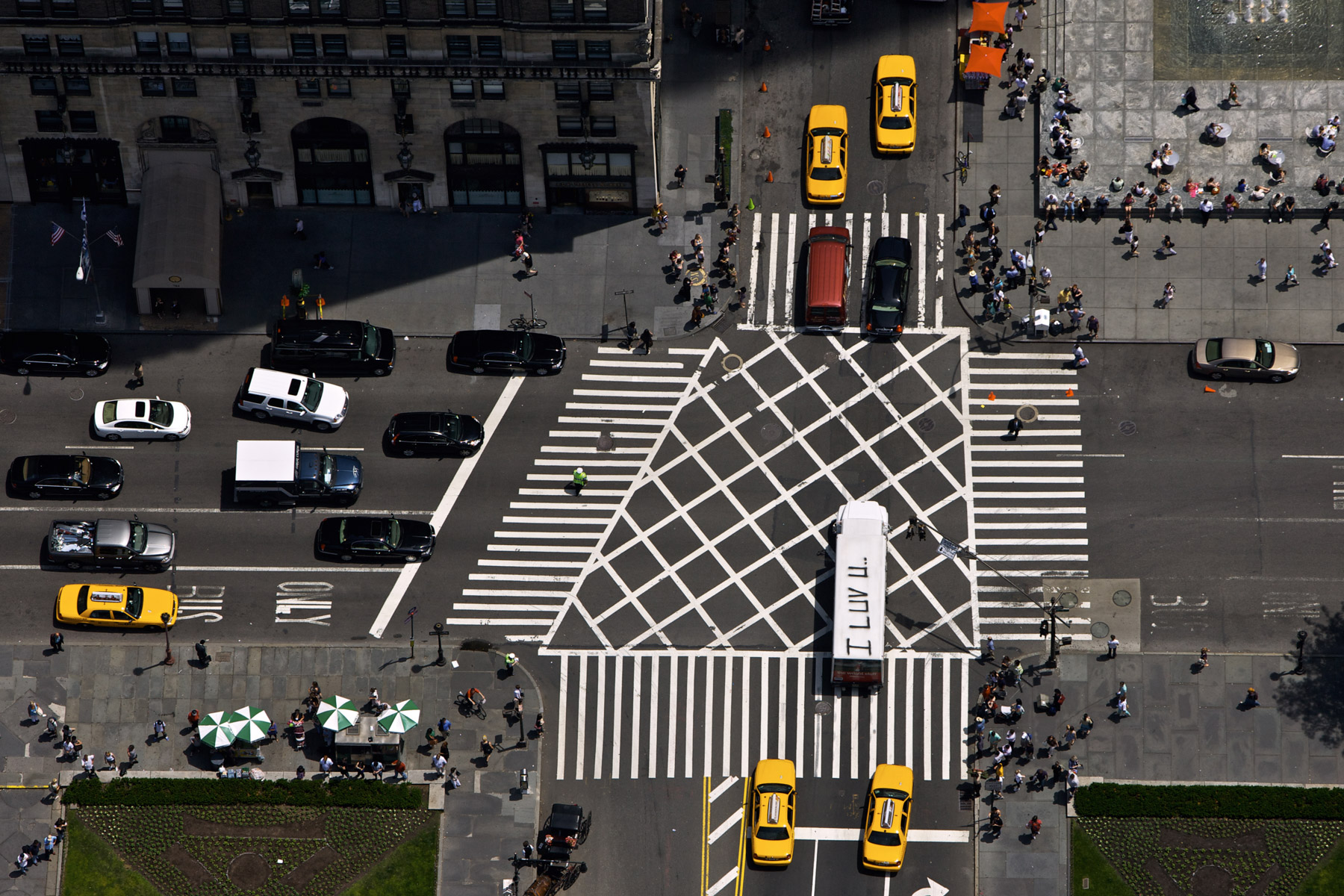
Grand Army Plaza near Central Park, Midtown, Manhattan, New York, United States (40°46' N, 73°58' W).
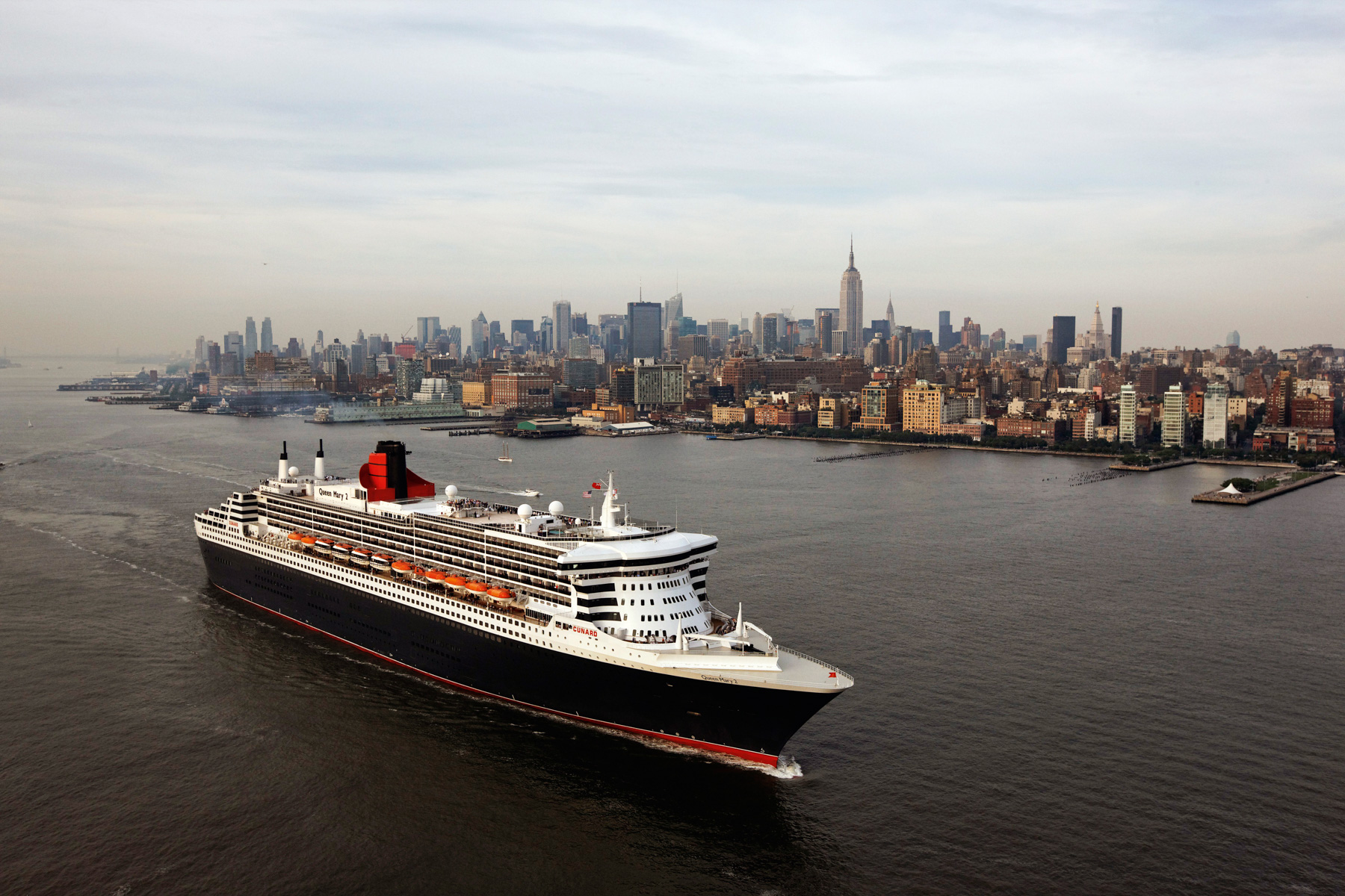
Queen Mary 2 and Manhattan, New York, United States (40°44'12.66" N, 74° 1'5.56" W)
Statue of Liberty on Liberty Island, Manhattan, New York, United States (40°41’ N, 74°03’ W).
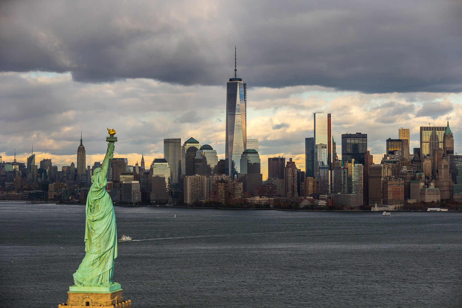
Statue of Liberty, Manhattan and One World Trade Center, New York, United States (40°43’ N, 74°01’ W). The most famous statue in the world has stood proudly at the mouth of the Hudson River, south of Manhattan, since 1886, brandishing in her right hand the flame of liberty, and carrying in her other, a tablet that marks the date of the United States Declaration of Independence; the 4th of July 1776. Given by the French nation to the people of the United States, Liberty, “illuminating the world”, according to its official name, was the work of the French sculptor Frederic Auguste Bartholdi. The iron structure, engineered by Gustave Eiffel, is covered with beaten copper, and at 93 metres (305 feet) above sea level, the recent restoration, (including the re-gilding of the “illuminated torch” in 24 carat gold) will go some way to protecting the “flame”, in spite of the winds that swirl around at this point in the harbour. At Liberty’s feet, lie broken shackles of oppression and tyranny. This symbolism represents another facet of liberty; freedom of thought, a fundamental humanitarian right, held in contempt in many places of the world.
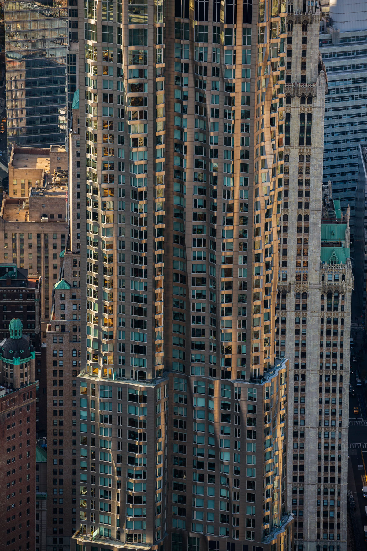
New York by Frank Gehry, Financial District, Manhattan, New York, United States (40°43’ N, 74°00’ W).
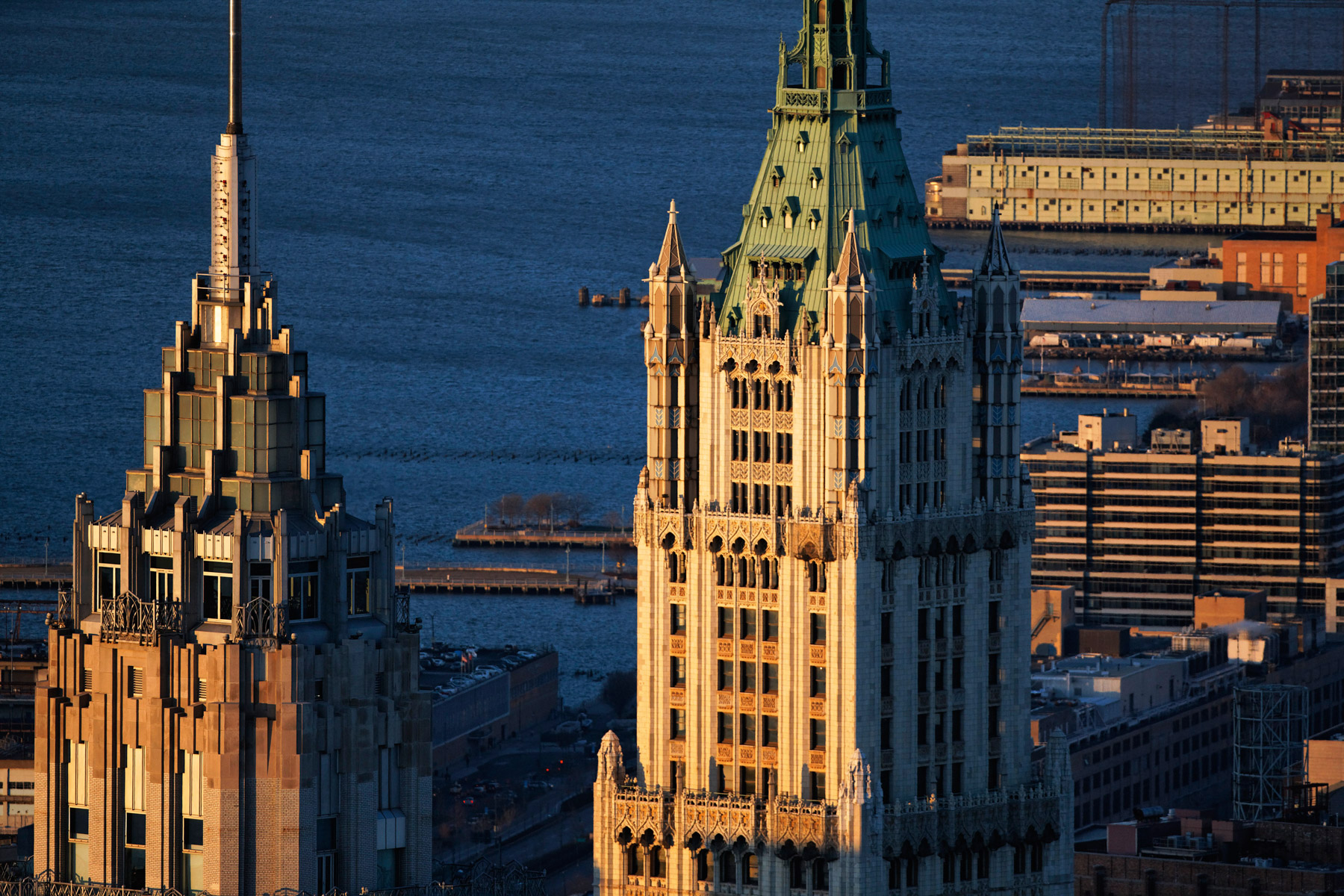
The American International Building or 70 Pine Street and the Woolworth building on the right, Financial District, Manhattan, New York, United States (40°42'22"N, 74°00'31"W).
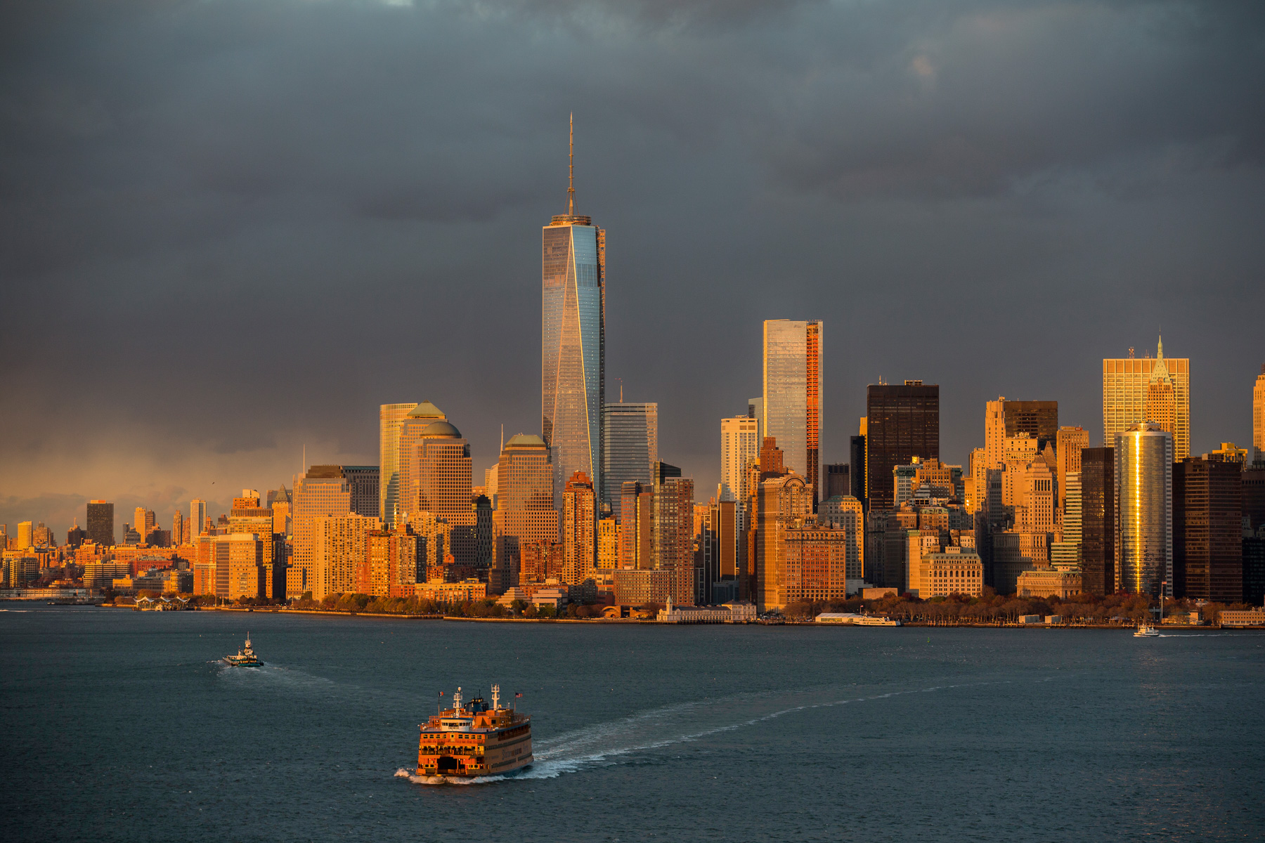
Boat off Manhattan and One World Trade Center, New York, United States (40°43’ N, 74°01’ W).
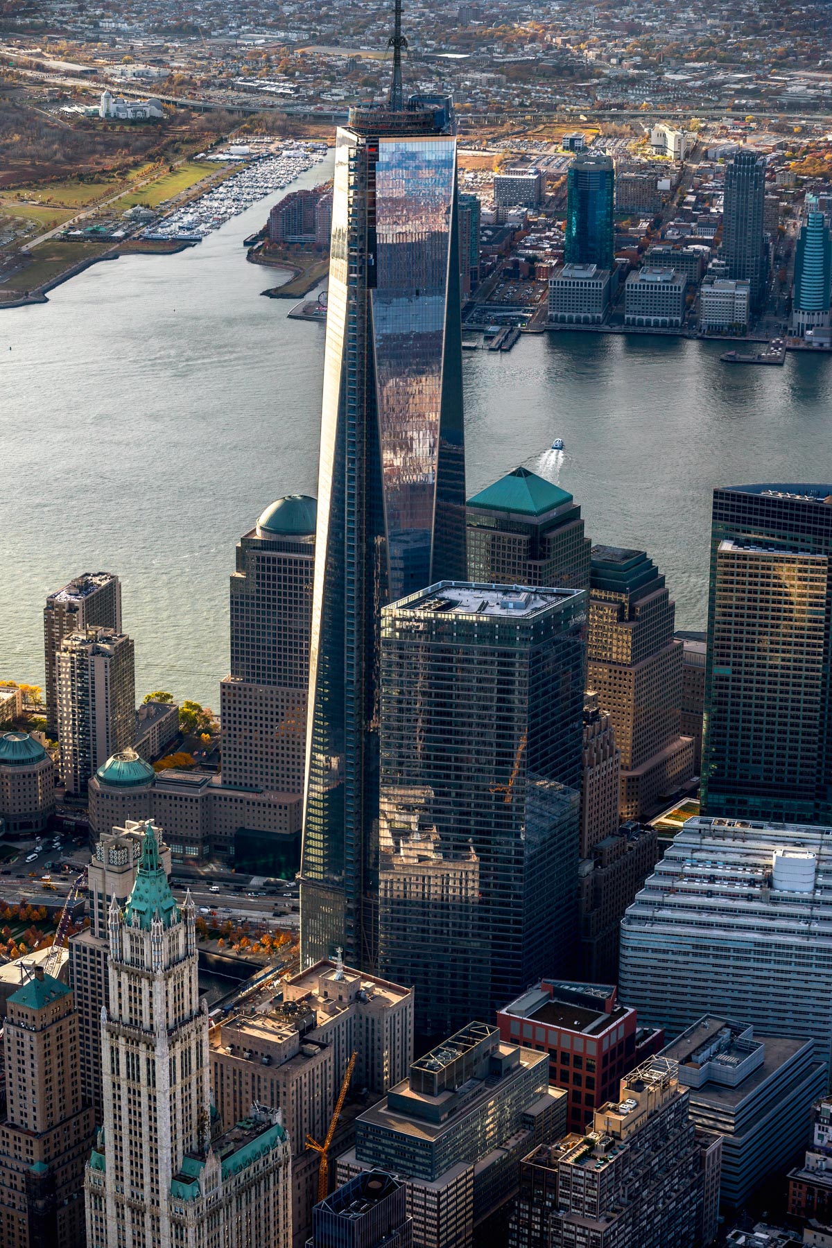
The One World Trade Center in Financial District, Manhattan, New York, United States (40°43’ N, 74°01’ W).
The Washington Square Arch, Washington Square Park, Greenwich village, Manhattan, New York, United States (40°43′51″N, 73°59′51″W).
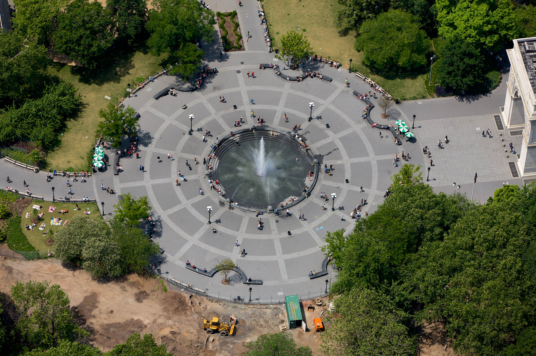
Washington Square Park Fountain, Greenwich Village, Manhattan, New York, United States (40°43′51″N, 73°59′51″W).
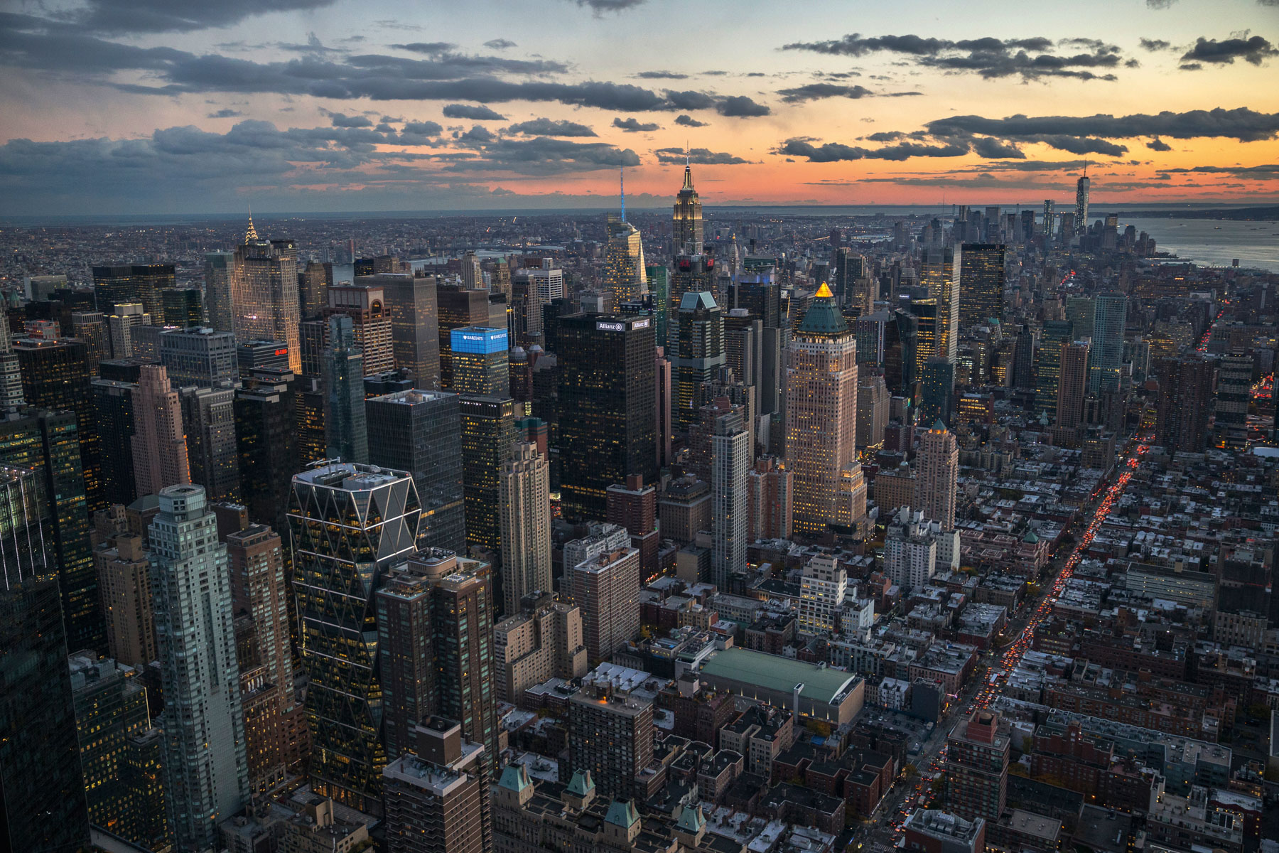
One Worldwide Plaza and Empire State Building in Midtown, Manhattan, New York, United States (40°46’ N, 73°59’ W).
Quartier de Midtown - L'Empire States Building, Midtown, Manhattan, New York
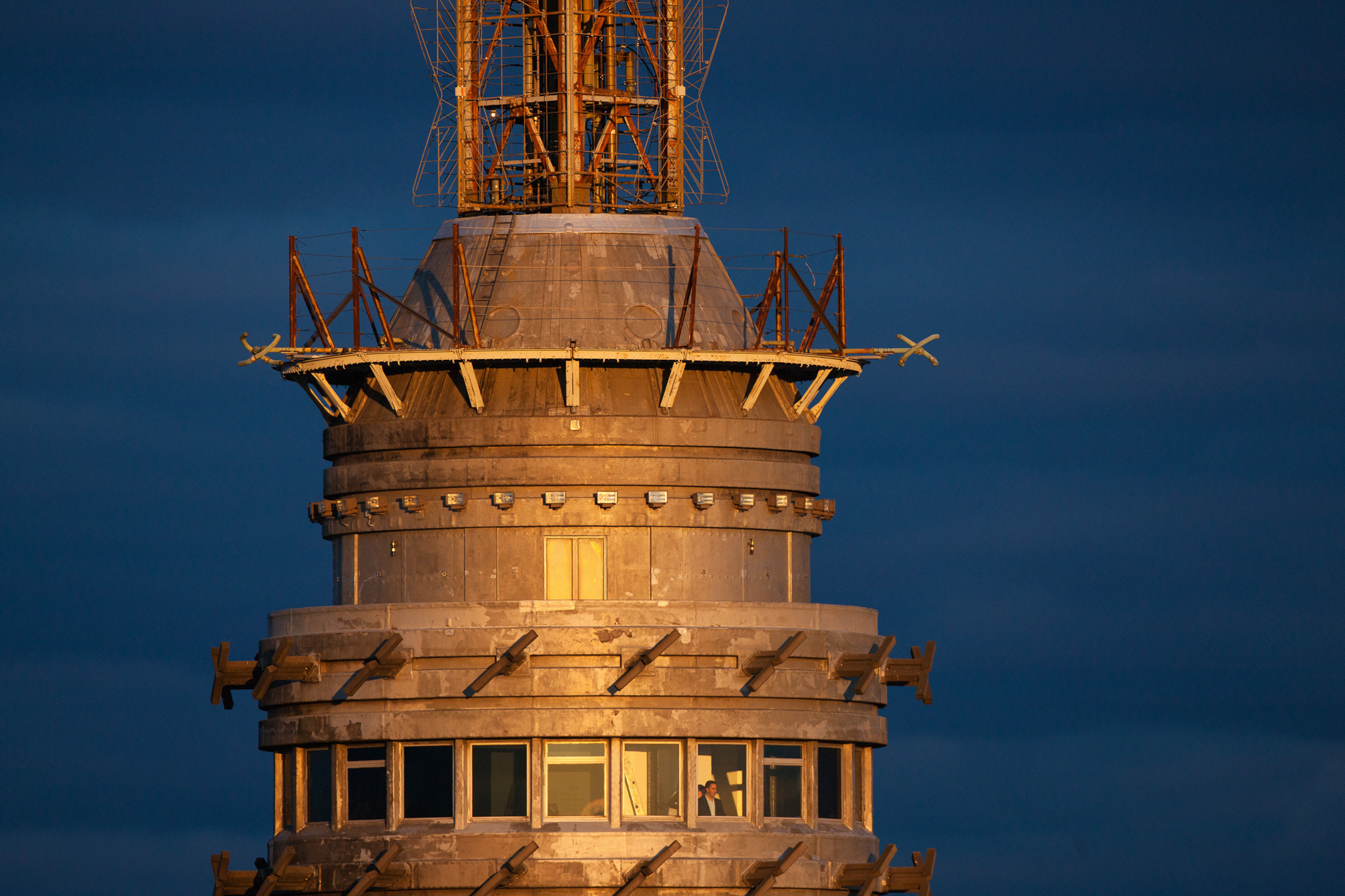
Empire States Building, 350 Fifth Avenue, Midtown, Manhattan, New York, United States (40°44'54'' N, 73°59'09'' W)
Symphony House Apartments, Midtown, Manhattan, New York, United States (40°45'57.44" N, 73°58'56.68" W)
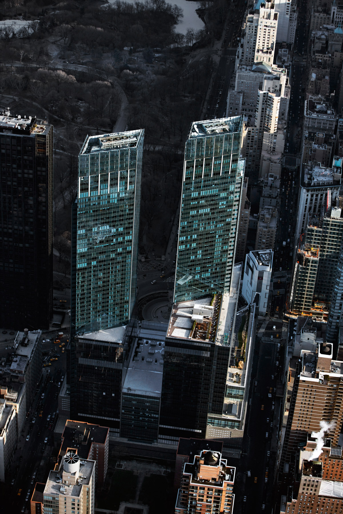
Time Warner Center Towers, 10 Columbus Circle, Midtown, Manhattan, New York, United States (40°46'07"N, 73°58'58"W).
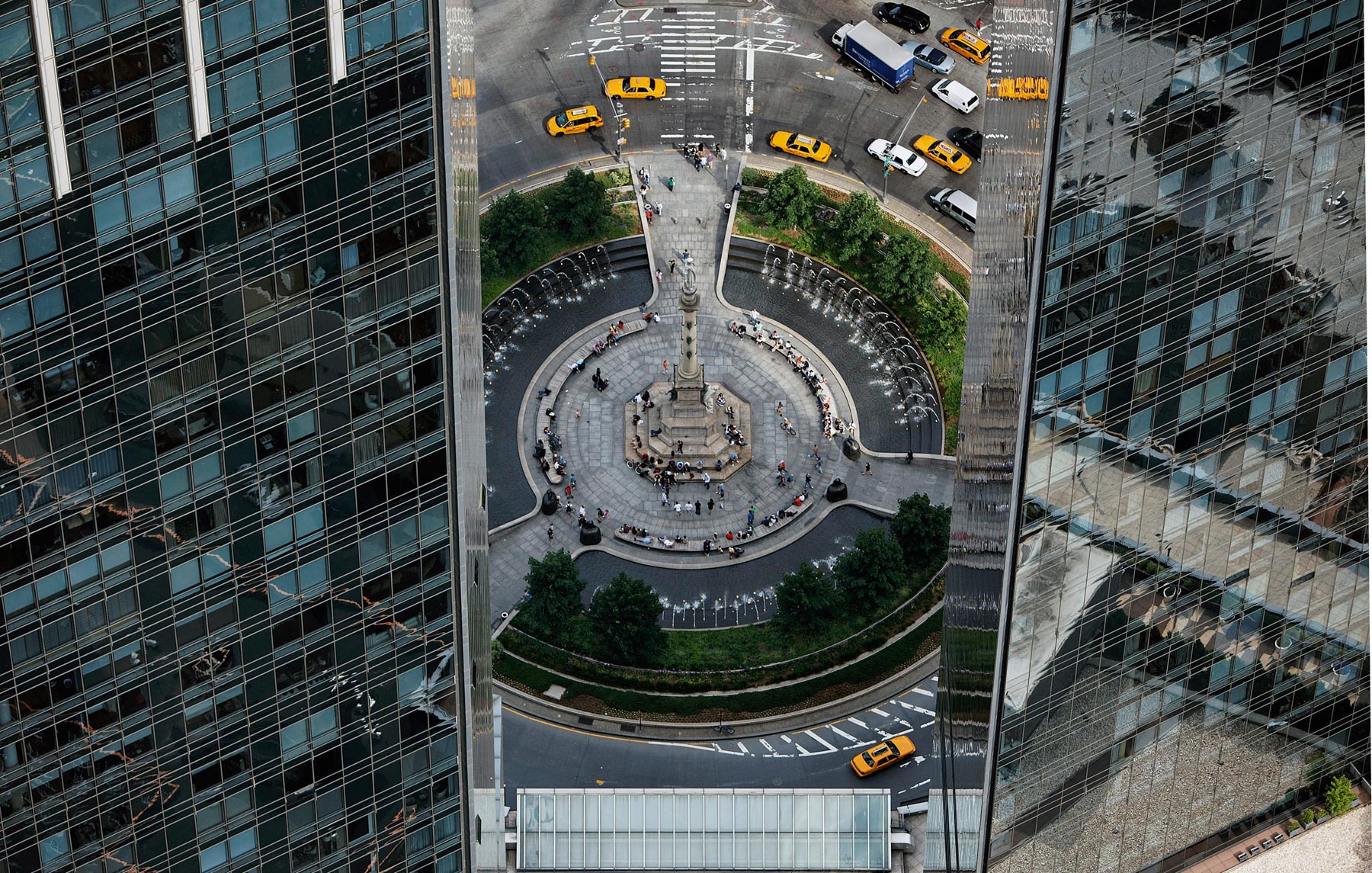
Time Warner Center Towers and the Columbus Circle fountain, Midtown, Manhattan, New York, United States (40°46'07"N, 73°58'58"W).
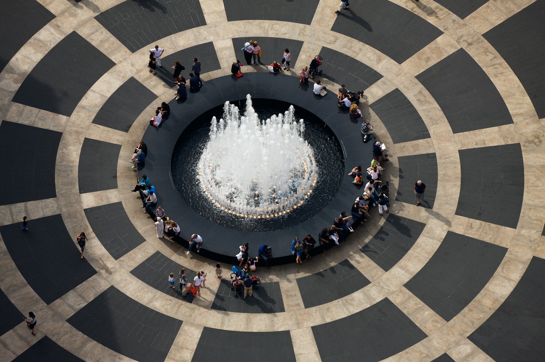
Josie Robertson Plaza, Lincoln Center for the Performing Arts, Upper West Side, Manhattan, New York, United States (40°46'20"N, 73°59'00"W).
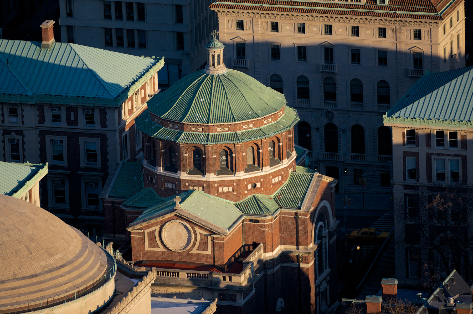
Saint Paul's Chapel, Columbia University, Morningside Heights, Manhattan, New York, United States (40°48'28.23N, 73°57'39.4"W).
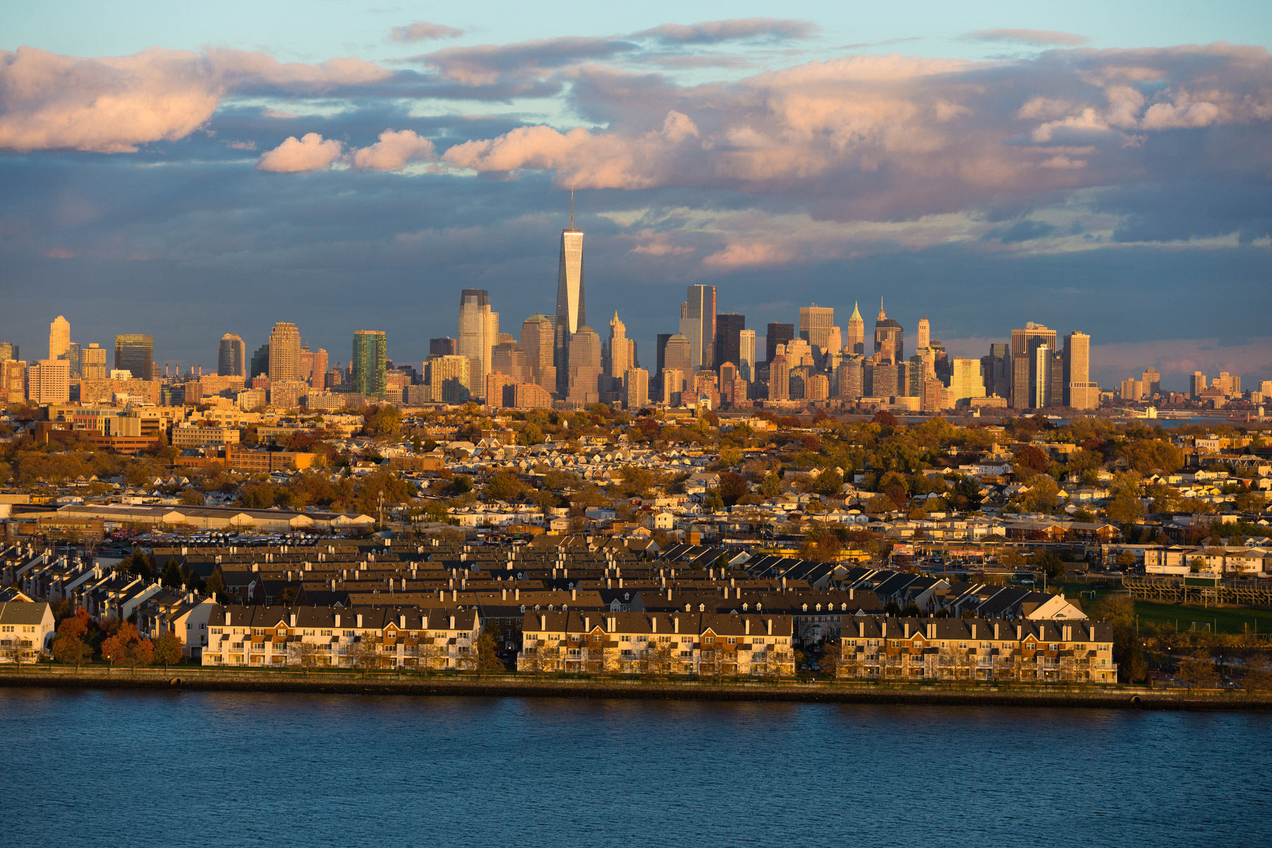
Manhattan and the One World Trade Centre seen from Jersey City, New York, New Jersey, United States (40°42’ N, 74°06’ W).
